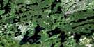
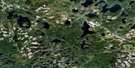
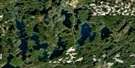
Harmon Lake Satellite Image Map
Download Free Aerial Photo 052G16 at 1:50,000 scale
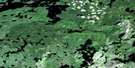
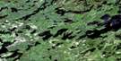
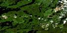
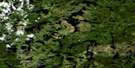
Harmon Lake Satellite Imagery
To view this satellite map, mouse over the air photo on the right.
You can also download this satellite image map for free:
052G16 Harmon Lake high-resolution satellite image map.
Maps for the Harmon Lake aerial map sheet 052G16 at 1:50,000 scale are also available in these versions:
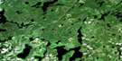
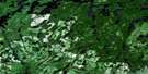
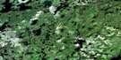
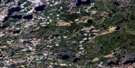
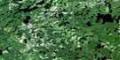
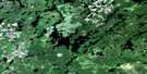
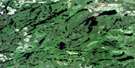
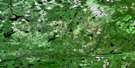
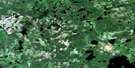
Harmon Lake Surrounding Area Aerial Photo Maps
 |
 |
 |
 |
 |
 |
 |
 |
 |
 |
 |
 |
 |
 |
 |
 |
© Department of Natural Resources Canada. All rights reserved.
Harmon Lake Gazetteer
The following places can be found on satellite image map 052G16 Harmon Lake:
Harmon Lake Satellite Image: Lakes
Avey LakeBrightsand Lake
Button Lake
Duggan Lake
Foot Lake
Gosling Lake
Gridiron Lake
Hard-dog Lake
Harmon Lake
Hearst Lake
Hilltop Lake
Kashishibog Lake
Little Sparkling Lake
Longneck Lake
Metionga Lake
Mountairy Lake
Redsand Lake
Robert Lake
Rude Lake
Scruffy Lake
Seseganaga Lake
Siess Lake
Small Lake
Sparkling Lake
Stinson Lake
Ton Lake
Tout Lake
Two Lake
Wapikaimaski Lake
Waterhouse Lake
Harmon Lake Satellite Image: Conservation areas
Brightsand River Provincial ParkKopka River Provincial Park
Harmon Lake Satellite Image: Rivers
Brightsand RiverDuggan Creek
Empire Creek
Globe Creek
Hard-dog Creek
Hilltop Creek
Kashishibog River
Robert Creek
Rude Creek
Tokay Creek
Ton Creek

© Department of Natural Resources Canada. All rights reserved.
052G Related Maps:
052G Ignace052G01 Upsala
052G02 Firesteel River
052G03 Gulliver Lake
052G04 White Otter Lake
052G05 Ignace
052G06 Bonheur
052G07 Petry River
052G08 Pakashkan Lake
052G09 Empire Lake
052G10 Shikag Lake
052G11 Mattabi
052G12 Mameigwess Lake
052G13 Yonde
052G14 Valora
052G15 Glitter Lake
052G16 Harmon Lake
