Upsala Satellite Image Map
Download Free Aerial Photo 052G01 at 1:50,000 scale
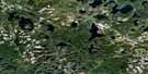
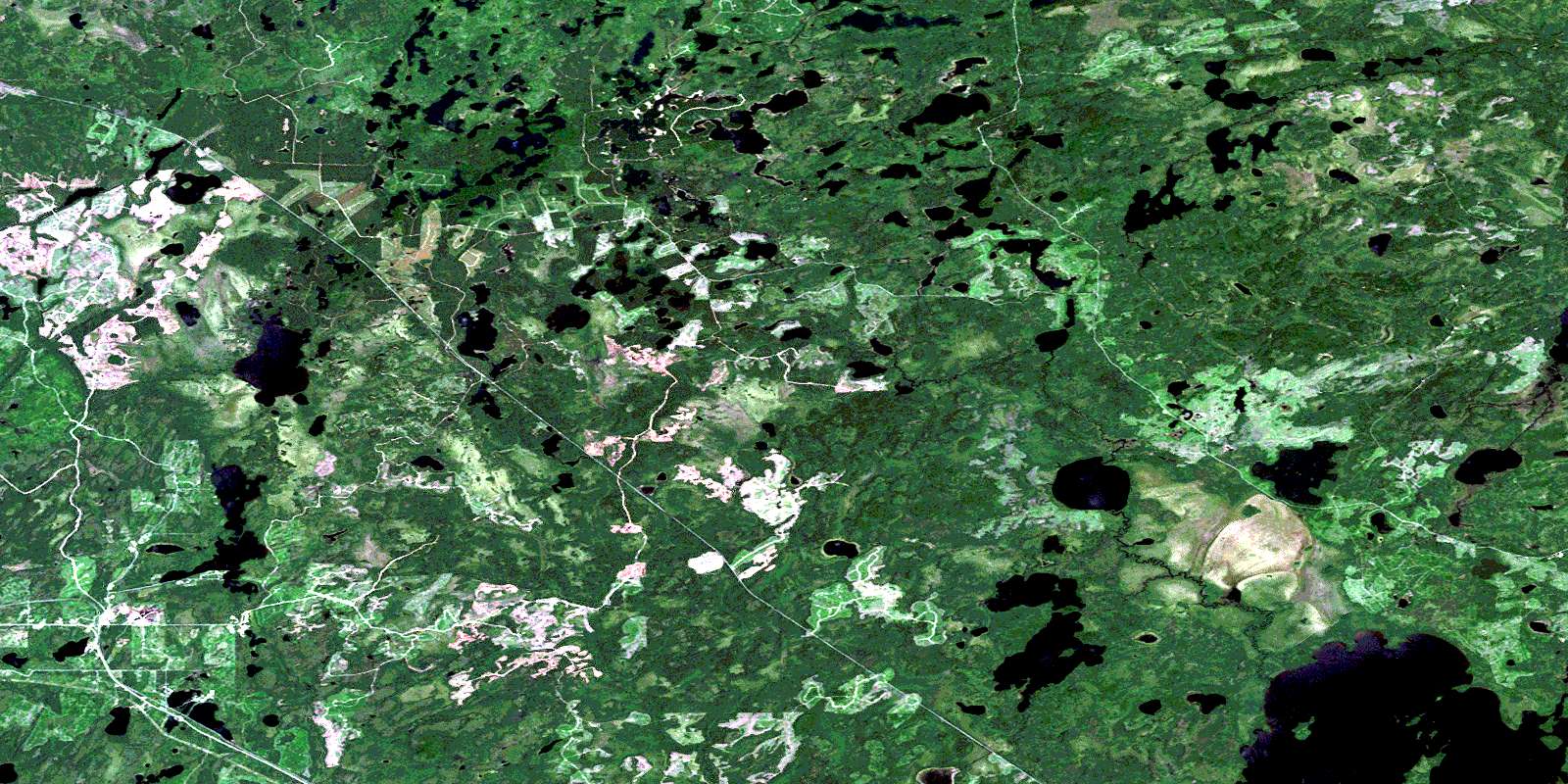
Upsala Satellite Imagery
To view this satellite map, mouse over the air photo on the right.
You can also download this satellite image map for free:
052G01 Upsala high-resolution satellite image map.
Maps for the Upsala aerial map sheet 052G01 at 1:50,000 scale are also available in these versions:
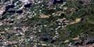
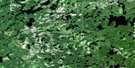
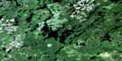
Upsala Surrounding Area Aerial Photo Maps
 |
 |
 |
 |
 |
 |
 |
 |
 |
 |
 |
 |
 |
 |
 |
 |
© Department of Natural Resources Canada. All rights reserved.
Upsala Gazetteer
The following places can be found on satellite image map 052G01 Upsala:
Upsala Satellite Image: Bays
Sawmill BayStar Bay
Upsala Satellite Image: Geographical areas
HogarthInwood
Joynt
Langworthy
Patrick
Savanne
Upsala
Wardrope
Upsala Satellite Image: Lakes
Beth LakeBuck Lake
Bundy Lake
Creppy Lake
Dolores Lake
Fall Lake
Grassy Narrows Lake
Gum Lake
Hazel Lake
Herbert Lake
Hickory Lake
Hogarth Lake
Inwood Lake
John Lake
John Lake
Joseph Lake
Label Lake
Lang Lake
Lower Kaogomok Lake
Mainey Lake
Marten Lake
Milton Lake
Mug Lake
Muise Lake
Muriel Lake
Muskeg Lake
Neba Lake
North Oriole Lake
Oriole Lake
Rest Lake
Ricestalk Lake
Robin Lake
Robin Lake
Ruthann Lake
Saway Lake
Scrub Lake
Sharp Lake
Slug Lake
South Oriole Lake
Squires Lake
Torrey Lake
Trap Lake
Upper Kaogomok Lake
Upper Ricestalk Lake
Upsala Lake
Walnut Lake
Windy Lake
Worthy Lake
Upsala Satellite Image: Rivers
Buck CreekDog River
Dolores Creek
East Firesteel River
East Firesteel River
Firesteel River
Hogarth River
Inwood Creek
Kaogomok Brook
Kaogomok Brook
Kaogomok Creek
Langworthy Creek
Larson Creek
Little Savanne River
McKay Creek
Muise Creek
Oriole Brook
Ricestalk Creek
Savanne River
Sharp Creek
Upsala Creek
Upsala Satellite Image: Unincorporated areas
GeorgeKelly
Larson
Mack
Upsala
© Department of Natural Resources Canada. All rights reserved.
052G Related Maps:
052G Ignace052G01 Upsala
052G02 Firesteel River
052G03 Gulliver Lake
052G04 White Otter Lake
052G05 Ignace
052G06 Bonheur
052G07 Petry River
052G08 Pakashkan Lake
052G09 Empire Lake
052G10 Shikag Lake
052G11 Mattabi
052G12 Mameigwess Lake
052G13 Yonde
052G14 Valora
052G15 Glitter Lake
052G16 Harmon Lake
