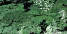
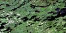
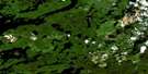
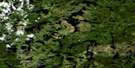
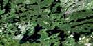
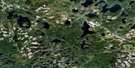
Mattabi Satellite Image Map
Download Free Aerial Photo 052G11 at 1:50,000 scale
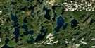
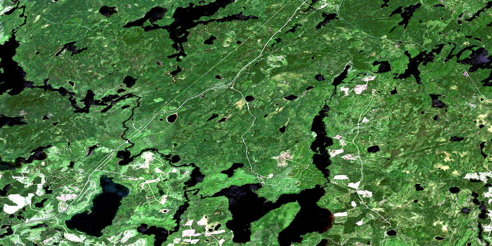
Mattabi Satellite Imagery
To view this satellite map, mouse over the air photo on the right.
You can also download this satellite image map for free:
052G11 Mattabi high-resolution satellite image map.
Maps for the Mattabi aerial map sheet 052G11 at 1:50,000 scale are also available in these versions:
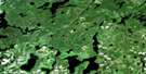
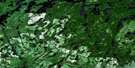
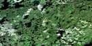
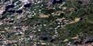
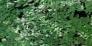
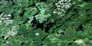
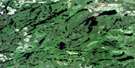
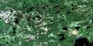
Mattabi Surrounding Area Aerial Photo Maps
 |
 |
 |
 |
 |
 |
 |
 |
 |
 |
 |
 |
 |
 |
 |
 |
© Department of Natural Resources Canada. All rights reserved.
Mattabi Gazetteer
The following places can be found on satellite image map 052G11 Mattabi:
Mattabi Satellite Image: Bays
East BayPercy's Bay
Mattabi Satellite Image: Falls
Talking FallsMattabi Satellite Image: Lakes
Barrel LakeBear Lake
Bear Pond
Beavero Lake
Benstead Lake
Bill Lake
Butters Lake
Cairo Lake
Calhoun Lake
Cecil Lake
Charnock Lake
Collins Lake
Cook Lake
Crystal Lake
Deer Lake
Delhi Lake
Drie Lake
Duck Pond
English Lake
Eva Lake
Fisher Lake
Frank's Lake
Geometry Lake
Gerry Lake
Glover Lake
Hakli Lake
Hamilton Lake
Hideaway Lake
Husak Lake
Keenan Lake
Ken Lake
Krisko Lake
Little Calhoun Lake
Little Paguchi Lake
Little Swanzy Lake
Little Waldrif Lake
MacKenzie Lake
Marcelle Lake
Marchant Lake
Mattawa Lake
McLaurin Lake
Melnyk Lake
Ned Lake
Paguchi Lake
Pass Lake
Pinaemodai Lake
Queer Lake
Rice Lake
Seaman Lake
Smith Lake
Sorochuk Lake
Sowden Lake
Surprise Lake
Swanzy Lake
Swede Lake
Tag Lake
Ted Lake
Trusler Lake
Unaka Lake
Upper Swanzy Lake
Valeira Lake
Victoria Lake
Wabazikaskwi Lake
Wilkie Lake
Wintering Lake
Mattabi Satellite Image: Rivers
Bonheur RiverCairo Creek
Cecil Creek
Crystal River
English River
Gulliver River
Husak Creek
Keenan Creek
Megikons River
Spring Creek
Swanzy Creek
Tag Creek
Trusler Creek
Waldrif Creek
Wintering River
Mattabi Satellite Image: Unincorporated areas
MattabiMattabi Station
Tannin
Unaka
© Department of Natural Resources Canada. All rights reserved.
052G Related Maps:
052G Ignace052G01 Upsala
052G02 Firesteel River
052G03 Gulliver Lake
052G04 White Otter Lake
052G05 Ignace
052G06 Bonheur
052G07 Petry River
052G08 Pakashkan Lake
052G09 Empire Lake
052G10 Shikag Lake
052G11 Mattabi
052G12 Mameigwess Lake
052G13 Yonde
052G14 Valora
052G15 Glitter Lake
052G16 Harmon Lake
