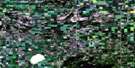
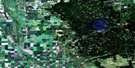
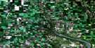
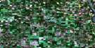
Calder Satellite Image Map
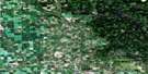
Download Free Aerial Photo 062N04 at 1:50,000 scale
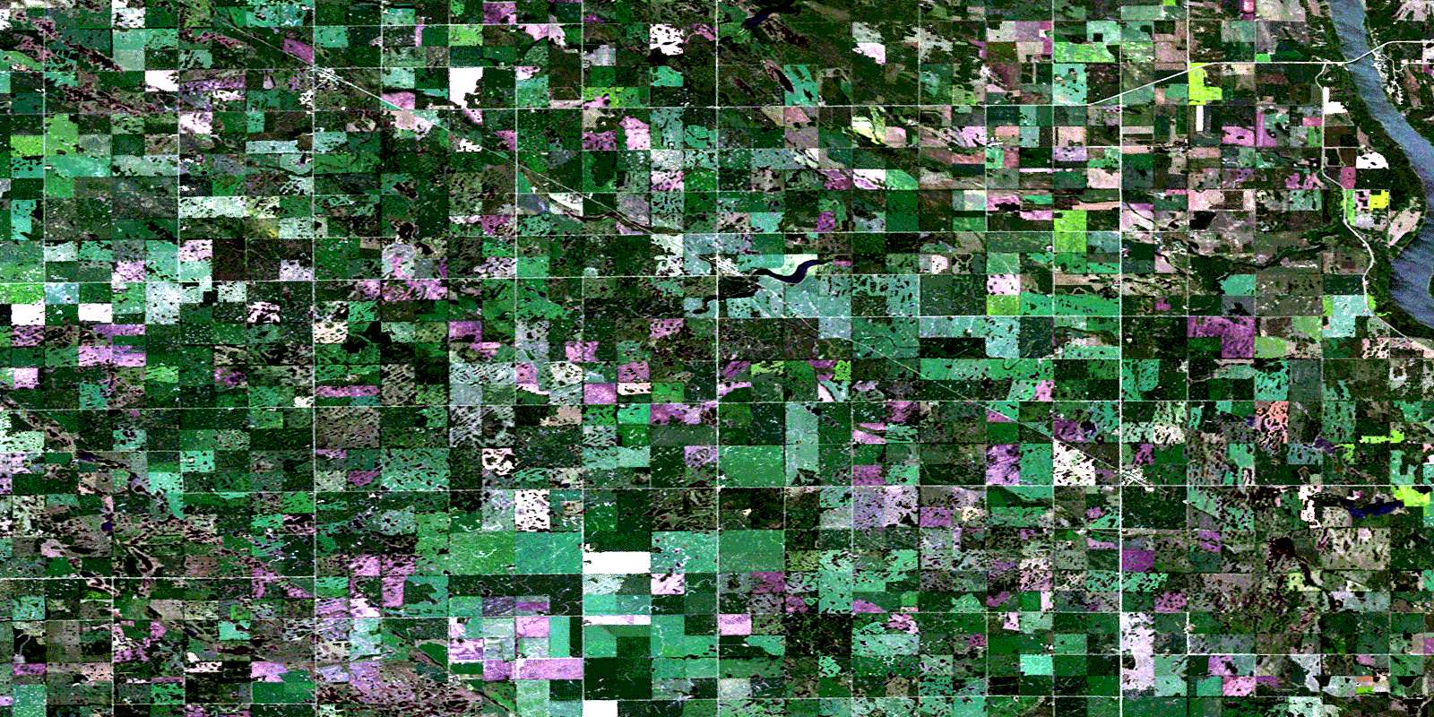
Calder Satellite Imagery
To view this satellite map, mouse over the air photo on the right.
You can also download this satellite image map for free:
062N04 Calder high-resolution satellite image map.
Maps for the Calder aerial map sheet 062N04 at 1:50,000 scale are also available in these versions:
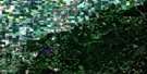
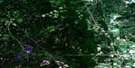
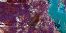
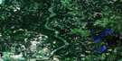
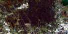
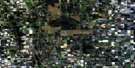
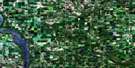
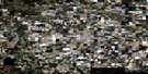
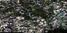
Calder Surrounding Area Aerial Photo Maps
 |
 |
 |
 |
 |
 |
 |
 |
 |
 |
 |
 |
 |
 |
 |
 |
© Department of Natural Resources Canada. All rights reserved.
Calder Gazetteer
The following places can be found on satellite image map 062N04 Calder:
Calder Satellite Image: Indian Reserves
Keeseekoose 66-Ca-01Keeseekoose 66-CA-03
Keeseekoose 66-Ca-04
Keeseekoose 66-Ca-05
Keeseekoose 66-Ca-06
Keeseekoose 66-Ch-01
Keeseekoose 66-Ch-03
Keeseekoose 66-Ch-04
Calder Satellite Image: Lakes
Lake of the PrairiesShillingthorpe Lake
Calder Satellite Image: Mountains
Kennedy HillCalder Satellite Image: Other municipal/district area - miscellaneous
BoultonCalder No. 241
Churchbridge No. 211
Shellmouth
Shellmouth-Boulton
Calder Satellite Image: Rivers
Assiniboine RiverBell Creek
Blackbird Creek
Blackbird Creek
Cupar Creek
Cupar Creek
Calder Satellite Image: Road features
Parks RouteRoute des parcs
Calder Satellite Image: Unincorporated areas
BeresinaKessock
Wroxton
Calder Satellite Image: Villages
CalderMacNutt
© Department of Natural Resources Canada. All rights reserved.
