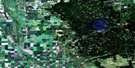
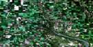
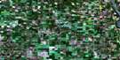
Arran Satellite Image Map
Download Free Aerial Photo 062N13 at 1:50,000 scale
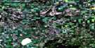
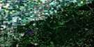
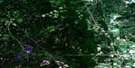
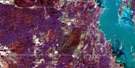
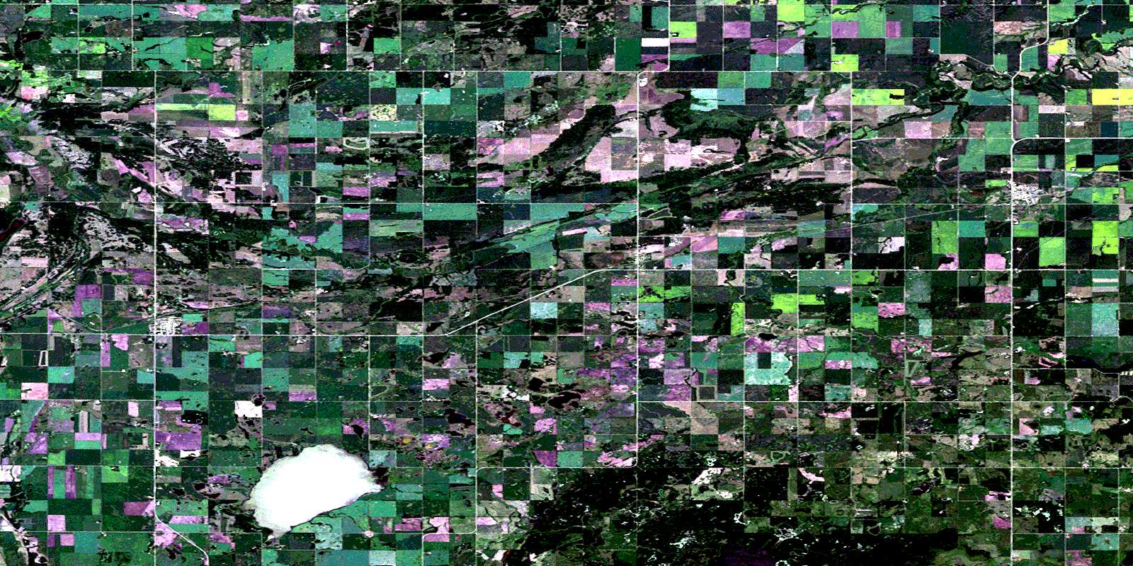
Arran Satellite Imagery
To view this satellite map, mouse over the air photo on the right.
You can also download this satellite image map for free:
062N13 Arran high-resolution satellite image map.
Maps for the Arran aerial map sheet 062N13 at 1:50,000 scale are also available in these versions:
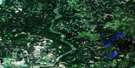
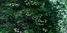
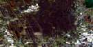
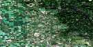
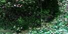
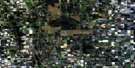
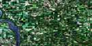
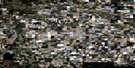
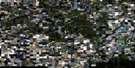
Arran Surrounding Area Aerial Photo Maps
 |
 |
 |
 |
 |
 |
 |
 |
 |
 |
 |
 |
 |
 |
 |
 |
© Department of Natural Resources Canada. All rights reserved.
Arran Gazetteer
The following places can be found on satellite image map 062N13 Arran:
Arran Satellite Image: Indian Reserves
Keeseekoose 66AKeeseekoose 66-St-01
Arran Satellite Image: Lakes
Best LakeBest Lake
Clark Lake
Dell Lake
Donald Lake
Doukhobor Lake
Harvey Lake
Ketchemonia Lake
Lac La Course
Arran Satellite Image: Other municipal/district area - miscellaneous
Livingston No. 331St. Philips No. 301
Swan River
Arran Satellite Image: Conservation areas
Duck Mountain Provincial ForestDuck Mountain Provincial Park
Fort Livingstone National Historic Site of Canada
Fort Pelly #1 Historic Site
Fort Pelly National Historic Site of Canada
Lieu historique national du Canada du Fort-Livingstone
Lieu historique national du Canada du Fort-Pelly
Arran Satellite Image: Rivers
Assiniboine RiverAssiniboine River
Bear Head Creek
Bear Head Creek
Belleau Brook
Keillor Creek
Lobstick Creek
Maloneck Creek
Mery Creek
Prairie Creek
Prairie Creek
Spruce Creek
Swan River
Swan River
Thunderhill Creek
Thunderhill Creek
Whitebeech Creek
Whitebeech Creek
Arran Satellite Image: Springs
Mikhailovka SpringArran Satellite Image: Unincorporated areas
Beaver PlainsBelleau Brook
Fort Pelly
Thunder Hill
Arran Satellite Image: Villages
ArranBenito
Pelly
© Department of Natural Resources Canada. All rights reserved.
