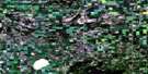
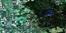
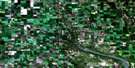
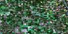
Childs Lake Satellite Image Map
Download Free Aerial Photo 062N11 at 1:50,000 scale
Childs Lake Satellite Imagery
To view this satellite map, mouse over the air photo on the right.
You can also download this satellite image map for free:
062N11 Childs Lake high-resolution satellite image map.
Maps for the Childs Lake aerial map sheet 062N11 at 1:50,000 scale are also available in these versions:
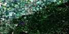
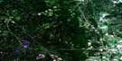
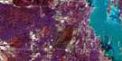
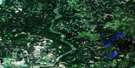
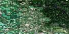
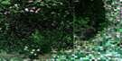
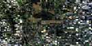
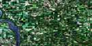
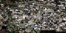
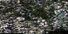
Childs Lake Surrounding Area Aerial Photo Maps
 |
 |
 |
 |
 |
 |
 |
 |
 |
 |
 |
 |
 |
 |
 |
 |
© Department of Natural Resources Canada. All rights reserved.
Childs Lake Gazetteer
The following places can be found on satellite image map 062N11 Childs Lake:
Childs Lake Satellite Image: Lakes
Barton LakeBeautiful Lake
Belgian Lake
Ben Lake
Berry Patch Lake
Big Skid Lake
Birch Lake
Borland Lake
Brennan Lake
Buttocks Lake
Camp Six Lakes
Childs Lake
Chink Lake
Chink Lakes
Crooked Lake
Cutbank Lake
Cutbank Lake
Dam Lake
Davey Lake
Dixon Lake
Down Lake
Drugstore Lake
Duffie Lake
East Ben Lake
East Tee Lake
Fish Lake
Flat Lake
George Lake
Grassy Island Lake
Gull Lake
Happy Lake
Hark Lake
Hay Lake
Hickey Lake
Hill Lake
Initial Lake
Jack Lake
Josh Lake
Kozak Lake
Langan Lakes
Larocque Lake
Laurie Lake
Lees Lake
Little Fish Lake
Little Island Lake
Little Laurie Lake
Little McBride Lake
Little McBridge Lake
Little Round Lake
Loggers Lake
Lorne Lake
Lost Lake
Mayer Lake
McGinnis Lake
McKenzie Lake
McLellan Lake
Mid Tee Lake
Miskow Lake
Moose Lake
Morland Lake
Mortimer Lake
Mosquito Lake
Mossberry Lake
Mud Lake
Muskoka Lake
Nolin Lake
Normans Lake
North Moose Lake
Noses Lake
Orland Lake
Palmason Lake
Palmason Lake
Paul Lake
Pelican Lake
Persse Lake
Poitras Lake
Reedy Lake
Rock Lake
Round Lake
Ruby Lake
Shaw Lake
Skid Lake
Snake Lake
Snake Lake
South Birch Lake
South Spruce Lake
South Tee Lake
Spruce Lake
Stinson Lake
Storm Lake
Surprise Lake
Swamp Tee Lake
Tee Lakes
Tees Lake
Thorn Lake
Tie Camp Lake
Timber Wolf Lake
Twin Lake
Twin Lakes
Wabska Lake
Watjask Lake
Watjask Lakes
Watts Lake
West Paul Lake
Wheelers Lake
White Lake
Willow Lake
Windfall Lake
Wine Lake
Zanyk Lake
Childs Lake Satellite Image: Mountains
Duck MountainChilds Lake Satellite Image: Other municipal/district area - miscellaneous
Shell RiverSwan River
Childs Lake Satellite Image: Conservation areas
Duck Mountain Provincial ForestDuck Mountain Provincial Park
Duck Mountain Wildlife Refuge
Childs Lake Satellite Image: Rivers
Big Rock CreekChilds Lake Creek
East Shell River
Ginger Creek
Joker Creek
Ketchum Creek
Line Creek
Little Boggy Creek
Prairie Creek
Shell River
Shell River
Short Creek
Stinson Creek
Tee Creek
Watts Creek
West Shell River
Willow Creek
Childs Lake Satellite Image: Unincorporated areas
Boggy CreekWalkerburn
Childs Lake Satellite Image: Low vegetation
Langan Meadow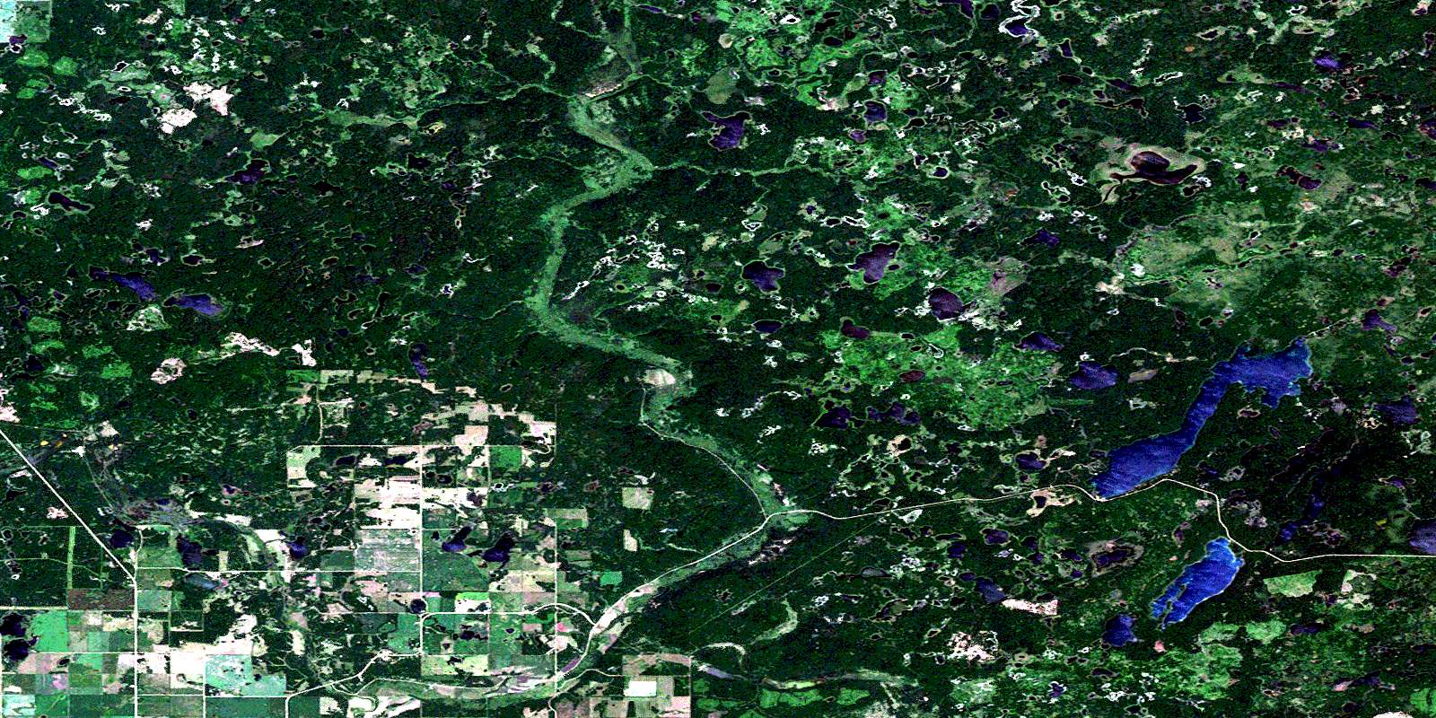
© Department of Natural Resources Canada. All rights reserved.
