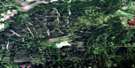
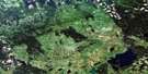
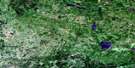
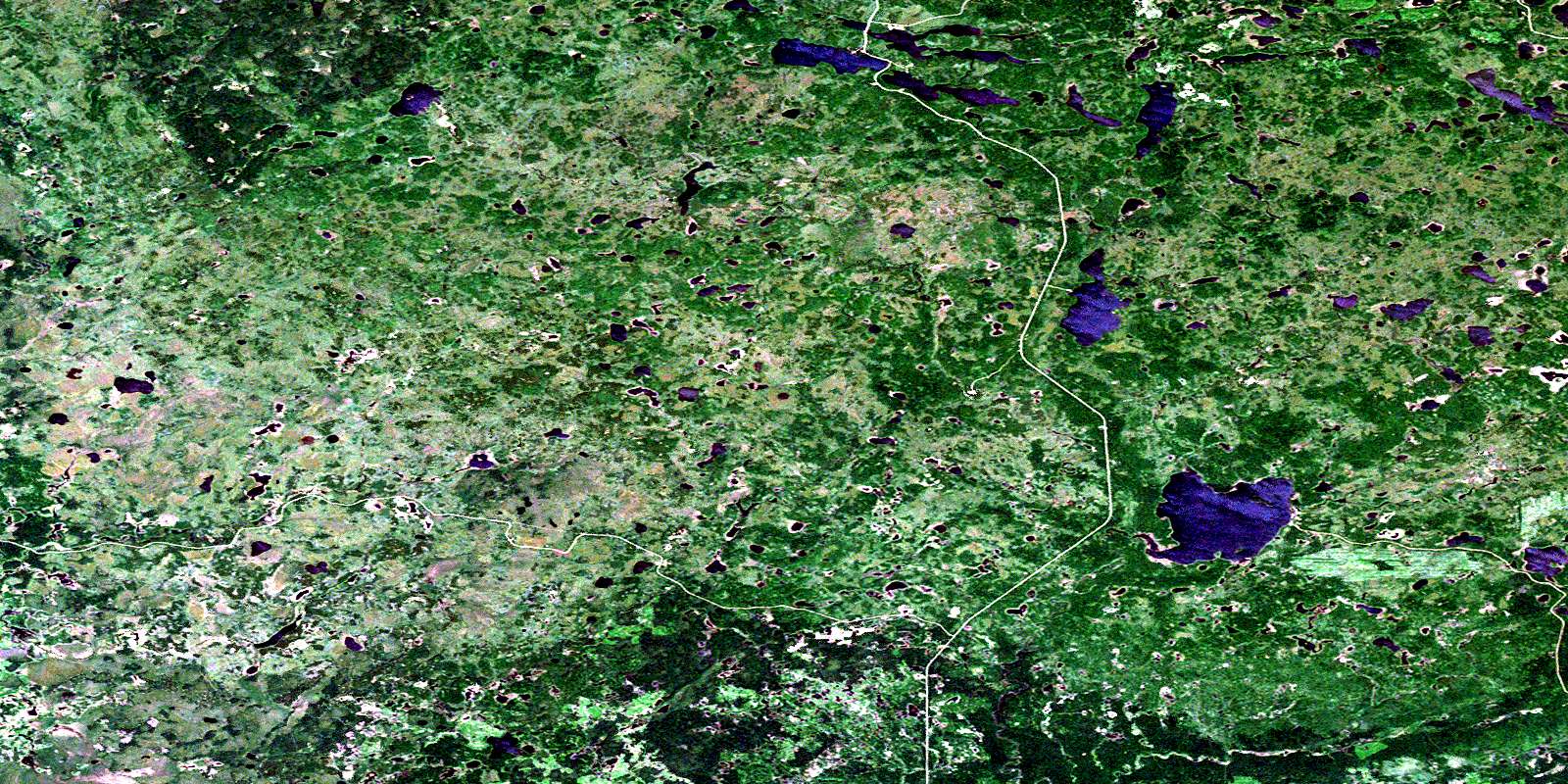
Townsend Lake Satellite Image Map
Download Free Aerial Photo 063C05 at 1:50,000 scale
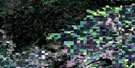
Townsend Lake Satellite Imagery
To view this satellite map, mouse over the air photo on the right.
You can also download this satellite image map for free:
063C05 Townsend Lake high-resolution satellite image map.
Maps for the Townsend Lake aerial map sheet 063C05 at 1:50,000 scale are also available in these versions:
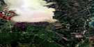
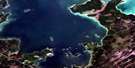
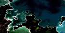
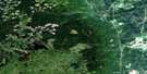
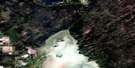
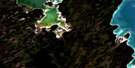
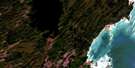
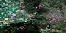
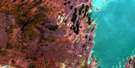
Townsend Lake Surrounding Area Aerial Photo Maps
 |
 |
 |
 |
 |
 |
 |
 |
 |
 |
 |
 |
 |
 |
 |
 |
© Department of Natural Resources Canada. All rights reserved.
Townsend Lake Gazetteer
The following places can be found on satellite image map 063C05 Townsend Lake:
Townsend Lake Satellite Image: Capes
Hogg PointTownsend Lake Satellite Image: Hamlets
Elbow LakeTownsend Lake Satellite Image: Lakes
Bow LakeBubble Lake
Connolly Lake
Deer Lake
Detour Lake
Eagle Branch Lake
Elbow Lake
George Lake
Grassy Lake
Grizzly Bear Lake
Little Fish Lake
Long Lake
Mallard Lake
Marder Lake
Moon Lake
Moose Lakes
North Finger Lake
North Mud Lake
North Rock Lakes
Otter Lake
Pickerel Lake
Pine Lake
Round Lake
Scottys Lake
Smallfish Lake
South Finger Lake
South Mud Lake
South Rock Lake
Spring Lake
Stanton Lake
Stark Lake
Tamarack Lake
Tennant Lake
Townsend Lake
Trickett Lake
Trout Lakes
Whitefish Lake
Woody Lake
Zapee Lake
Zapfe Lake
Townsend Lake Satellite Image: Mountains
Bald HillsPorcupine Hills
Porcupine Hills
Townsend Lake Satellite Image: Other municipal/district area - miscellaneous
Hudson Bay No. 394Livingston No. 331
Swan River
Townsend Lake Satellite Image: Conservation areas
Porcupine Provincial ForestPorcupine Provincial Forest
Whitefish Lake Provincial Park
Woody Lake Game Preserve
Woody River Recreation Site
Townsend Lake Satellite Image: Provinces
ManitobaTownsend Lake Satellite Image: Rivers
Binns CreekHorace Brook
Little Fish Creek
McVey Creek
McVey Creek
Midnight Creek
Mink Creek
Mud Creek
Nelson Creek
Rock Creek
Smallfish Creek
Stewart Creek
Trout Creek
Twin Moose Creek
Whitefish Creek
Whitefish Creek
Woody River
© Department of Natural Resources Canada. All rights reserved.
063C Related Maps:
063C Swan Lake063C01 Duck Bay
063C02 Renwer
063C03 Swan River
063C04 Thunder Hill
063C05 Townsend Lake
063C06 Birch River
063C07 Lenswood
063C08 Magnolia Lake
063C09 Kircro Lake
063C10 Pelican Rapids
063C11 Mafeking
063C12 Armit Lake
063C13 Roscoe
063C14 Barrows
063C15 Dawson Bay
063C16 Pelican Bay
