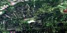
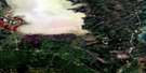
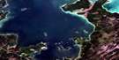
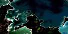
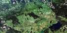
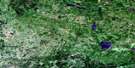
Duck Bay Satellite Image Map
Download Free Aerial Photo 063C01 at 1:50,000 scale
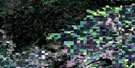
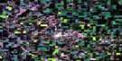
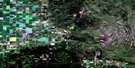
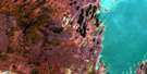
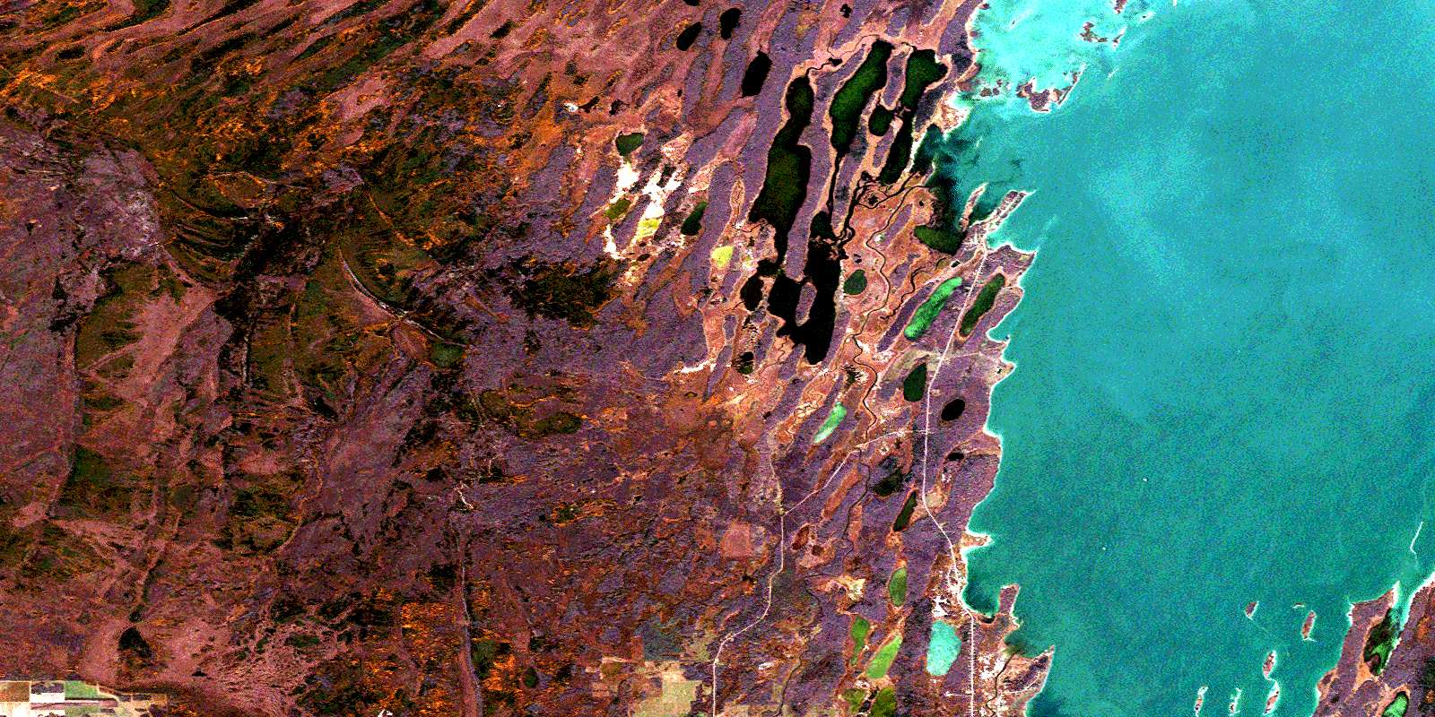
Duck Bay Satellite Imagery
To view this satellite map, mouse over the air photo on the right.
You can also download this satellite image map for free:
063C01 Duck Bay high-resolution satellite image map.
Maps for the Duck Bay aerial map sheet 063C01 at 1:50,000 scale are also available in these versions:
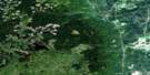
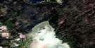
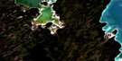
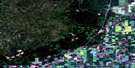
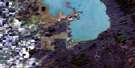
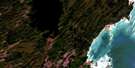
Duck Bay Surrounding Area Aerial Photo Maps
 |
 |
 |
 |
 |
 |
 |
 |
 |
 |
 |
 |
 |
 |
 |
 |
© Department of Natural Resources Canada. All rights reserved.
Duck Bay Gazetteer
The following places can be found on satellite image map 063C01 Duck Bay:
Duck Bay Satellite Image: Bays
Coleman BayDuck Bay
Gamblers Bay
Pacheta Bay
Sagemace Bay
Smoky Island Bay
Wickham Bay
Duck Bay Satellite Image: Capes
Camilles PointGamblers Point
McKay Point
Red Deer Point
Smoky Island Point
Duck Bay Satellite Image: Indian Reserves
Pine Creek 66ADuck Bay Satellite Image: Islands
Balsam IslandHatchery Island
Hay Island
Long Island
McKenzie Island
North Sugar Island
Pig Island
Richards Island
Romans Island
Smoky Island
South Camping Island
Spruce Island
Sucker Island
Duck Bay Satellite Image: Lakes
Balsam LakeCarlson Lake
Chartrand Lake
Howards Lake
Kassinnikac Lake
Kelly Lake
Lac Winnipegosis
Lake Winnipegosis
McNichols Lake
Pacheta Lake
Wigwam Lake
Duck Bay Satellite Image: Other municipal/district area - miscellaneous
Mossey RiverMountain
Duck Bay Satellite Image: Conservation areas
Red Deer Point Game Bird RefugeSwan-Pelican Provincial Forest
Duck Bay Satellite Image: Rivers
Balsam CreekDrake River
Duck River
Last Creek
Long Island Creek
Lost Creek
North Duck River
Pelican River
Pine River
Sclater River
Duck Bay Satellite Image: Unincorporated areas
Duck BayGood Harbour
Pine Creek
© Department of Natural Resources Canada. All rights reserved.
063C Related Maps:
063C Swan Lake063C01 Duck Bay
063C02 Renwer
063C03 Swan River
063C04 Thunder Hill
063C05 Townsend Lake
063C06 Birch River
063C07 Lenswood
063C08 Magnolia Lake
063C09 Kircro Lake
063C10 Pelican Rapids
063C11 Mafeking
063C12 Armit Lake
063C13 Roscoe
063C14 Barrows
063C15 Dawson Bay
063C16 Pelican Bay
