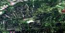
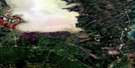
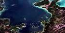
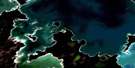
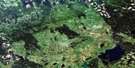
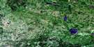
Birch River Satellite Image Map
Download Free Aerial Photo 063C06 at 1:50,000 scale
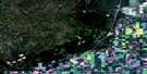
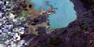
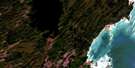
Birch River Satellite Imagery
To view this satellite map, mouse over the air photo on the right.
You can also download this satellite image map for free:
063C06 Birch River high-resolution satellite image map.
Maps for the Birch River aerial map sheet 063C06 at 1:50,000 scale are also available in these versions:
Birch River Surrounding Area Aerial Photo Maps
 |
 |
 |
 |
 |
 |
 |
 |
 |
 |
 |
 |
 |
 |
 |
 |
© Department of Natural Resources Canada. All rights reserved.
Birch River Gazetteer
The following places can be found on satellite image map 063C06 Birch River:
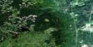
Birch River Satellite Image: Forests
Sinclairs BluffBirch River Satellite Image: Hydraulic construction
Brandt DrainMcKinley Drain
Schlagg Drain
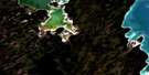
Birch River Satellite Image: Indian Reserves
Wuskwi Sipihk First Nation 2Birch River Satellite Image: Lakes
Birch LakesBlackjack Lake
Boot Lake
Cart Lake
Cross Lake
Detour Lake
Donut Lake
Fisher Lake
Fox Lake
Frenchy Lake
Gull Lake
Halfmoon Lake
Halls Lake
Hart Lake
Horn Lake
Indian Lake
Junction Lake
Kennedy Lake
Key Lake
Last Lake
Leclair Lake
Little Moose Lake
Little Swan Lake
Mallard Lake
Mixture Lake
Moosehead Lake
Mossy Lake
Mystery Lake
North Mud Lake
Olson Lake
Otter Lake
Rabbit Lake
Rain Lake
Rat Lake
Road Lake
Round Lake
Scottys Lake
Shell Lake
Silt Lake
Sock Lake
South Boot Lake
Stanton Lake
Stinky Lake
Swamp Lake
Teepee Lake
Tie Road Lake
Two Lakes
Willow Lake
Winchester Lake
Wolf Lakes
Birch River Satellite Image: Mountains
Hart MountainPorcupine Hills
Spy Hill
Birch River Satellite Image: Other municipal/district area - miscellaneous
MinitonasMountain
Swan River
Birch River Satellite Image: Conservation areas
Porcupine Provincial ForestPrimrose Provincial Park
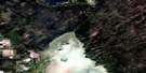
Birch River Satellite Image: Rivers
Bear CreekBirch River
Blackjack Creek
Bowsman River
Bowsman River
Camp Nine Creek
East Smith Creek
Fishtown Creek
Fox Creek
Friday Creek
Haggarty Creek
Hart Creek
Hubbell Creek
Hubbell Creek
Kematch River
Kemulch Creek
Little Kemulch Creek
Maple Creek
Martin Creek
McLure Creek
Mudlen Creek
Mullin Creek
Olson Creek
Robinson Creek
Shell Creek
Smith Creek
Stanton Creek
Swede Creek
Willow Creek
Woody River
Birch River Satellite Image: Unincorporated areas
Birch River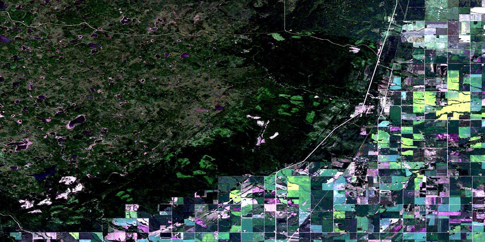
© Department of Natural Resources Canada. All rights reserved.
063C Related Maps:
063C Swan Lake063C01 Duck Bay
063C02 Renwer
063C03 Swan River
063C04 Thunder Hill
063C05 Townsend Lake
063C06 Birch River
063C07 Lenswood
063C08 Magnolia Lake
063C09 Kircro Lake
063C10 Pelican Rapids
063C11 Mafeking
063C12 Armit Lake
063C13 Roscoe
063C14 Barrows
063C15 Dawson Bay
063C16 Pelican Bay
