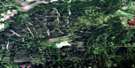
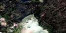
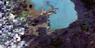
Swan River Satellite Image Map
Download Free Aerial Photo 063C03 at 1:50,000 scale
Swan River Satellite Imagery
To view this satellite map, mouse over the air photo on the right.
You can also download this satellite image map for free:
063C03 Swan River high-resolution satellite image map.
Maps for the Swan River aerial map sheet 063C03 at 1:50,000 scale are also available in these versions:
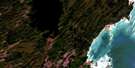
Swan River Surrounding Area Aerial Photo Maps
 |
 |
 |
 |
 |
 |
 |
 |
 |
 |
 |
 |
 |
 |
 |
 |
© Department of Natural Resources Canada. All rights reserved.
Swan River Gazetteer
The following places can be found on satellite image map 063C03 Swan River:
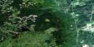
Swan River Satellite Image: Hydraulic construction
Avonlea DrainCraigsford Drain
Jeski Drain
Old Government Drain
Swan River Satellite Image: Mountains
Lambert HillMinitonas Hill
Swan River Satellite Image: Other municipal/district area - miscellaneous
MinitonasSwan River
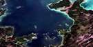
Swan River Satellite Image: Conservation areas
Harry Cox Wildlife RefugeSwan River Provincial Park
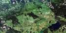
Swan River Satellite Image: Rivers
Bowsman RiverEast Favel River
East Smith Creek
Favel River
Favell River
Friday Creek
Godin Creek
Hay Creek
Hubbell Creek
Hubbell Creek
Lobstick Creek
Minitonas Creek
Mudlen Creek
Mullin Creek
Roaring River
Smith Creek
Swan River
Tamarack Creek
Thunderhill Creek
Trout Creek
West Favel River
Whitebeech Creek
Woody River
Swan River Satellite Image: Towns
MinitonasSwan River
Swan River Satellite Image: Unincorporated areas
Big WoodyCraigsford
Harlington
Kenville
Lidstone
Sevick
Swan River Valley
Thunderhill Junction
Swan River Satellite Image: Villages
Bowsman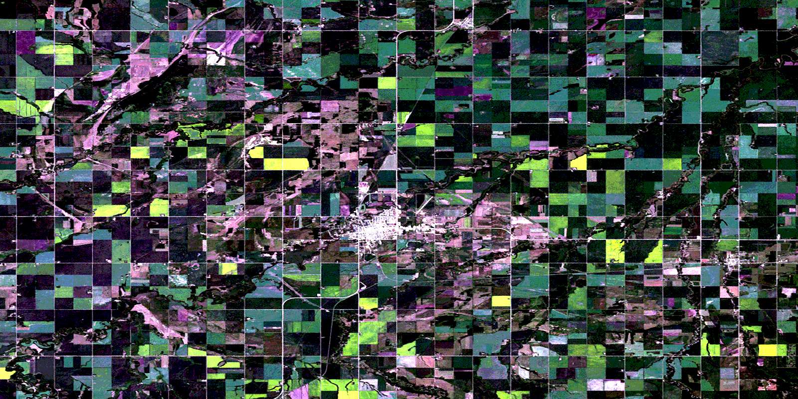
© Department of Natural Resources Canada. All rights reserved.
063C Related Maps:
063C Swan Lake063C01 Duck Bay
063C02 Renwer
063C03 Swan River
063C04 Thunder Hill
063C05 Townsend Lake
063C06 Birch River
063C07 Lenswood
063C08 Magnolia Lake
063C09 Kircro Lake
063C10 Pelican Rapids
063C11 Mafeking
063C12 Armit Lake
063C13 Roscoe
063C14 Barrows
063C15 Dawson Bay
063C16 Pelican Bay
