Nippers Harbour Topo Map Online
Download Free Topo Map Sheet 002E13 at 1:50,000 scale
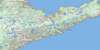
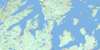
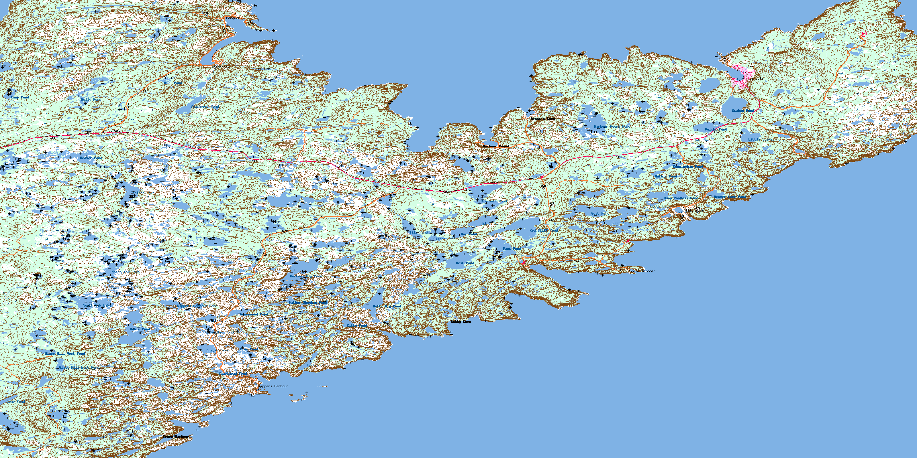
002E13 Nippers Harbour Topo Map
To view this map, mouse over the map preview on the right.
You can also download this topo map for free:
002E13 Nippers Harbour high-resolution topo map image.
Maps for the Nippers Harbour topo map sheet 002E13 at 1:50,000 scale are also available in these versions:
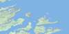
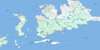
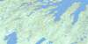
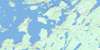
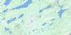
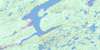
Nippers Harbour Surrounding Area Topo Maps
 |
 |
 |
|
 |
 |
 |
 |
 |
 |
 |
 |
 |
 |
 |
 |
© Department of Natural Resources Canada. All rights reserved.
Nippers Harbour Gazetteer
The following places can be found on topographic map sheet 002E13 Nippers Harbour:
Nippers Harbour Topo Map: Bays
Balsam Bud CoveBateaux Cove
Bear Cove
Beaver Cove
Betts Bight
Betts Cove
Big Cove
Bobby Cove
Brent's Cove
Buttonhole Cove
Confusion Bay
Duggins Tilt Cove
East Stocking Harbour
Goelettes Bay
Gooseberry Cove
Grand Cove
Great Caplin Cove
Green Cove
Harbour Round
Hill Graplin Cove
Hollin Cove
Indian Burying Ground Cove
La Scie Harbour
Little Bay
Little Caplin Cove
Little Pacquet
Long Point Cove
Martins Cove
Ming's Bight
Nippers Harbour
Noble Cove
Northwest Arm
Northwest Arm
Notre Dame Bay
Pacquet Harbour
Pittman Bight
Ragged Cove
Reddits Cove
Rogues Harbour
Round Harbour
Seal Island Bight
Shoe Cove
Snooks Arm
Southwest Arm
Stocking Harbour
Tilt Cove
Venams Bight
Welshs Bight
White Cove
Wild Bight
Wild Cove
Nippers Harbour Topo Map: Beaches
Sandy BeachNippers Harbour Topo Map: Capes
Baie Verte PeninsulaBear Cove Head
Beaver Cove Head
Betts Head
Bigrel Point
Blanche Point
Bluff Point
Brent Cove Head
Broussailles Point
Candlemas Head
Cape Brulé
Cape Cagnet
Cape Canis
Cape Coup de Hache
Fishing Point
Gooseberry Cove Head
Green Head
Green Point
Hammer Head
Harbour Point
Hill Graplin Head
Humann Point
Jigging Head
Long Point
Lower Bill
Major Point
Marchal Point
Mouse Point
Noble Head
Pelée Point
Pigeon Cove Head
Ragged Point
Reddits Point
Rogues Harbour Point
Rouge Point
Round Harbour Head
Salmon Point
Scrape Point
Sleepy Lion Point
Sleepy Point
Snooks Head
Soup Point
Vails Point
Nippers Harbour Topo Map: Islands
Betts IslandBrandy Islands
Duck Island
Fox Island
Green Island
Gull Island
Nippers Islands
Pigeon Island
Riding Island
Seal Island
Seal Island
Nippers Harbour Topo Map: Lakes
Armchair PondBar Pond
Beaver Cove Pond
Beaver Pond
Belly Pond
Betts Big Pond
Binch Pond
Blackhead Pond
Burtons Big Pond
Burtons Pond
Buskam Pond
Camp Pond
Cunningham Pond
Dump Pond
East Pond
Father Sheehan Pond
Forth Pond
Glass Hill East Pond
Glass Hill West Pond
Goat Pond
Gold Pond
Goss Pond
Greenwood Pond
Gull Pond
Harbour Round Pond
Kitty Pond
L Camp Pond
Little Stakes Pond
Long Pond
Long Pond
Loon Pond
Mathis Pond
Mill Pond
Nippers Harbour Pond
Noble Pond
North Yak Lake
Peridot Lake
Pine Pond
Red Cliff Pond
Rocky Pond
Saddler Pond
Settler Pond
Side Pond
Sister Pond
Snooks Arm Pond
South Yak Lake
Southwest Pond
Stakes Pond
The Sisters
The Sisters
Tilt Pond
Welshs Pond
West Pond
Windsor Lake
Winser Lake
Nippers Harbour Topo Map: Mountains
Bare RangeBlack Lookout
Chips Hill
Crows Nest
Gros Morne
Red Cliff Hills
Nippers Harbour Topo Map: Rivers
Pacquet BrookNippers Harbour Topo Map: Shoals
Alexander RockCrocodile Shoal
Gull Rock
Mother Howe Bank
Ross Rock
Shoe Cove Rock
Sutherland Bank
West Ice Ledge
White Patch
Nippers Harbour Topo Map: Towns
Brent's CoveBurlington
La Scie
LaScie
Nippers Harbour
Pacquet
Tilt Cove
Woodstock
Nippers Harbour Topo Map: Unincorporated areas
Bobby CoveHarbour Round
Indian Burying Place
Rouge Harbour
Round Harbour
Shoe Cove
Shoe Cove Bight
Snooks Arm
© Department of Natural Resources Canada. All rights reserved.
002E Related Maps:
002E Botwood002E01 Weir's Pond
002E02 Gander River
002E03 Botwood
002E04 Hodges Hill
002E05 Robert's Arm
002E06 Point Leamington
002E07 Comfort Cove-Newstead
002E08 Carmanville
002E09 Fogo
002E10 Twillingate
002E11 Exploits
002E12 Little Bay Island
002E13 Nippers Harbour
002E14 Cape St. John
002E16 Little Fogo Islands
