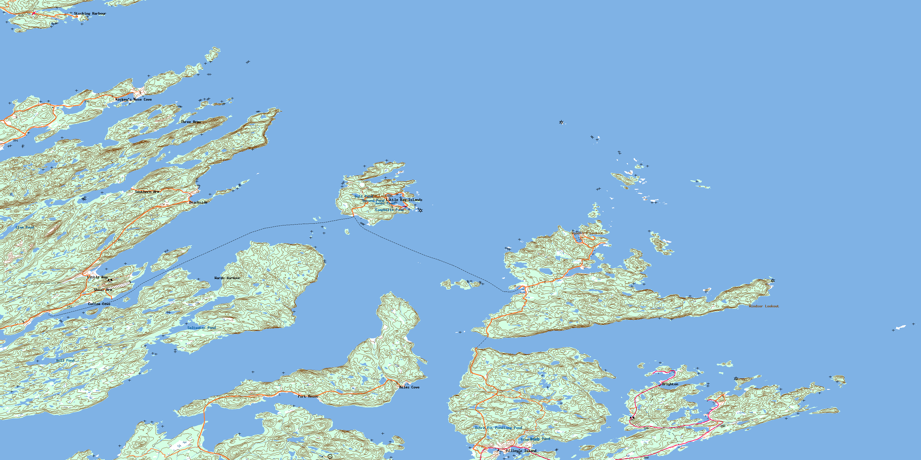
Little Bay Island Topo Map Online
Download Free Topo Map Sheet 002E12 at 1:50,000 scale
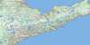
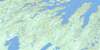
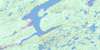
002E12 Little Bay Island Topo Map
To view this map, mouse over the map preview on the right.
You can also download this topo map for free:
002E12 Little Bay Island high-resolution topo map image.
Maps for the Little Bay Island topo map sheet 002E12 at 1:50,000 scale are also available in these versions:
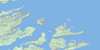
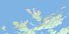
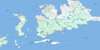
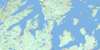
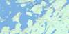
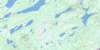
Little Bay Island Surrounding Area Topo Maps
 |
 |
 |
|
 |
 |
 |
 |
 |
 |
 |
 |
 |
 |
 |
 |
© Department of Natural Resources Canada. All rights reserved.
Little Bay Island Gazetteer
The following places can be found on topographic map sheet 002E12 Little Bay Island:
Little Bay Island Topo Map: Bays
Anstey CoveAnsteys Cove
Aspen Cove
Back Cove
Barred Island Cove
Bartlett's Cove
Batt Cove
Bear Cove
Bear Cove
Beaver Cove
Berry Head Cove
Billy Toole Cove
Bob Cove
Boot Harbour
Budgells Cove
Bumble Bee Cove
Burgess Cove
Burnt Harbour
Burnt Head Cove
Butler Cove
Butlers Bight
Caplin Cove
Caplin Cove
Caplin Cove
Charley's Cove
Clarke Cove
Cooking Cove
Croucher Cove
Cutwell Arm
Cutwell Harbour
Dolland Arm
Doolan Folly
East Stocking Harbour
Fox Cove
Goudies Cove
Grand Dismal Cove
Great Triton Harbour
Green Bay
Halls Bay
Harry's Harbour
Haul Up Cove
Haywards Bight
Herring Cove
Hynes Cove
Hynes Cove
Inner Harbour
Island Rock Cove
Jackson's Cove
Jerry Harbour
Jims Cove
John Smith Harbour
King Cove
Knife Cove
Langdons Cove
Langdon's Cove
Langdown Cove
Langdown Cove
Little Bay
Little Bay Arm
Little Shellbird Bight
Little Triton Harbour
Little Ward Harbour
Lobster Harbour
Long Arm
Lushes Bight
Middle Arm
Miles Cove
Milkboy Cove
Moorey Cove
Mooring Cove
Morris Cove
Muddy Hole
Murcell Cove
Nickey's Nose Cove
Nippers Harbour
North Harbour
North Harbour
Notre Dame Bay
Paddock's Bight
Pat Power Cove
Pilley's Cove
Pilley's Island Harbour
Port Anson
Quinton Cove
Randall Cove
Rix Cove
Rowsell Cove
Rushy Pond Cove
Salmon Cove
Salt Pond
Saltwater Pond Bay
Shag Cliff Bight
Shimmy Cove
Shoal Arm
Shoal Arm
Shoal Arm
Shoal Cove
Shoal Harbour
South Bill Cove
Southern Arm
Southern Harbour
Spencer's Dock
Squid Cove
Stag Cove
Stocking Harbour
Stuckey Cove
Suley Ann Cove
Sunday Cove
The Launch
Three Arms
Ward Harbour
Wellman Bight
Wellman's Cove
Wells Cove
Welsh Cove
West Arm
Western Arm
Western Cove
Wild Bight
Wild Bight
Windsor Cove
Wiseman Cove
Woodford Cove
Woodfords Arm
Young Cove
Little Bay Island Topo Map: Beaches
Big BeachIndian Beach
Long Beach
Marshall Beach
Wiseman Beach
Little Bay Island Topo Map: Capes
Baie Verte PeninsulaBear Cove Point
Bear Point
Beaver Cove Head
Berry Head
Black Head
Black Head
Blackberry Head
Bob Head
Bob Point
Boot Harbour Head
Brighton Tickle Point
Burnt Cape
Burnt Head
Burnt Head
Burnt Head
Burnt Head
Burnt Head
Burnt Point
Caplin Cove Head
China Head
Curtis Point
Dark Tickle Point
Dick Head
Dogfish Point
Dolland Arm Head
Eastern Point
Fishing Point
Flour Cask Head
Fox Head
Fox Neck
Halls Bay Head
Harbour Head
Harry Head
Haywards Head
Horse Chops Head
Hynes Point
Indian Head
Indian Head
Iron Point
Island Point
Jerry Head
Jim's Head
Langdon's Point
Langdown Point
Little Bay Head
Long Tickle Point
Middle Bill
Moses Point
Nickey's Nose Point
North Bill
North China Head
Northern Head
Pat Power Point
Patrick's Point
Pigeon Head
Pinnacle Head
Ragged Point
Randall Point
Red Cliff Point
Red Fishing Point
Rix Point
Rowland Point
Rushy Pond Head
Saltwater Pond Point
Shiner Point
Shoal Arm Point
Shoal Head
Shoal Point
Shoal Point
Short Point
Sisters Point
South Arm Point
South Bill
Southern Head
Stuckey Point
The Arch
The Founder
The Schooner
Venison Point
Western Head
Western Head
Western Point
White Point
Windsor Point
Wiseman Point
Young Head
Little Bay Island Topo Map: Channels
Boatswain TickleBrighton Tickle
Cobbler Tickle
Indian Tickle
Long Island Tickle
Otter Island Narrows
Shoal Tickle
Shoal Tickle
Sunday Cove Tickle
Little Bay Island Topo Map: Cliffs
Blow Me DownBread and Cheese Cliff
Crow Cliff
Gull Cliff
Shag Cliff
Shag Cliff
Little Bay Island Topo Map: Islands
Alexander IslandBerry Island
Big Island
Big Island
Big Island
Big Triton Island
Boatswain Tickle Island
Brandies
Bread Box Island
Brighton Tickle Island
Brighton Tickle Islands
Burnt Island
Burnt Island
Burnt Islands
Cobbler Island
Copper Island
Crab Island
Cross Island
Croucher Island
Crow Island
Duck Islands
Flint Islands
Fox Islands
George Island
Giles Island
Goat Island
Grassy Island
Grassy Island
Grassy Island
Grassy Islands
Grassy Islands
Grassy Islet
Graveyard Island
Great Denier Island
Great Tinker Island
Green Bay Island
Gunning Islands
Harbour Island
Harbour Round Island
Hennessey Island
Indian Island
John Smith Island
King Island
Lewis Island
Limestone Island
Little Bay Island
Little Denier Island
Little Island
Little Shellbird Island
Little Stag Island
Long Island
Macks Island
Middle Islands
Nimrod Island
Nogood Island
Oil Islands
Otter Island
Pete Island
Pigeon Island
Pigeon Island
Pigeon Island
Pigeon Island
Pilley's Island
Red Island
Red Island
Rix Island
Rock Cod Island
Round Island
Saltwater Pond Islands
Seal Island
Shellbird Island
Small Island
Southern Head Island
Stag Island
Sunday Cove Island
Three Arms Island
Triton Island
Tub Island
Woody Island
Little Bay Island Topo Map: Lakes
Campbells PondClam Pond
Gull Pond
Gull Pond
Heads Pond
Jones Pond
Long Pond
Mine Pond
Ochre Pit Pond
Rushy Pond
Saltwater Pond
Second Pond
Little Bay Island Topo Map: Mountains
Big HillCampbell Hill
Chipman Hill
Gull Hill
The Lookout
Venison Hill
Whales Back
Windsor Lookout
Woodford Lookout
Little Bay Island Topo Map: Other municipal/district area - miscellaneous
Triton-Jim's Cove-Card's HarbourLittle Bay Island Topo Map: Rivers
Anchor BrookBoot Harbour Brook
Little Bay Island Topo Map: Shoals
Black RockBlack Rock Ground
Black Rock Ground
Black Rock Sunker
Black Rocks
Budgells Ground
Bulls Eye
Burnt Head Ground
Burnt Head Rocks
Burton Rock
Caddy Ground
China Rocks
Cobbler Rocks
Compton Rock
Crow Island Sunkers
David All
Dog Stones
Dogfish Rock
Dogfish Rock
Doolan Folly Ground
Duck Islands Ground
Eastern Ground
Eastern Point Rock
Eastern Rocks
Eel Bank
Esau Rowsell Bank
Feather Ledge
Fishing Ground
Fishing Point Rock
Fishing Rock
Foggy Ledge
Fools Cap Rock
Fox Island Ground
Green Bay Rock
Gull Rock
Gunning Rocks
Handy Ledge
Harry Harbour Rock
Hatchet Rock
Haynes Ledge
Herring Rock
Hoskyn Rock
Hunt Bank
Hunt Rocks
Hynes Rock
Ice Ledge
Inner Shoal Tickle Ground
Jacobs Rock
Jim Rowsell Ground
Joey Ground
John Hewlett Rock
League Rock
Little Black Rock
Long Rocks
Long Rocks
Marshall Ground
Merab Ledge
Mocassin Ledge
North Harbour Rock
Northern Head Ground
Nosecap Ground
Oke Ground
Old Bantam Rock
Old Billy
Old Man's Hat
Outer Shoal Tickle Ground
Parker Tooth
Parsons Ground
Pat Power Ground
Pigeon Ledge
Powder Horn Ledge
Quinton Cove Rocks
Red Island Rock
Richmond Rock
Rotten Ledge
Ryan Rock
Salmon Rock
Salmon Rock
Salmon Rock Ground
Seal Ground
Seal Rock
Shoal Ground
Short Ground
Squids Horn
Stag Island Rocks
Suley Ann Rock
Sutherland Bank
The Cross
The Field
Toffins Nut
Tom Cod Rock
Tom Cod Rock
Trawl Ground
Venison Point Ground
Western Ground
Western Head Rock
White Ground
White Ground
White Ground
Wills Rock
Little Bay Island Topo Map: Towns
BeachsideBrighton
Burlington
Little Bay
Little Bay Islands
Lushes Bight-Beaumont-Beaumont North
Miles Cove
Pilley's Island
Port Anson
Triton
Little Bay Island Topo Map: Unincorporated areas
BeaumontBeaumont North
Card's Harbour
Coffee Cove
Harry's Harbour
Jackson's Cove
Jackson's Cove-Langdon's Cove-Silverdale
Jim's Cove
Kings Cove
Langdon's Cove
Langdown Cove
Lushes Bight
Nickey's Nose Cove
Paddock's Bight
Shoal Arm
Silverdale
Smiths Harbour
Smith's Harbour
Southern Arm
St. Patricks
St. Patrick's
Stocking Harbour
Three Arms
Triton East
Triton West
Wards Harbour
Wellmans Cove
Woodford Cove
Little Bay Island Topo Map: Villages
Triton IslandWild Bight
© Department of Natural Resources Canada. All rights reserved.
002E Related Maps:
002E Botwood002E01 Weir's Pond
002E02 Gander River
002E03 Botwood
002E04 Hodges Hill
002E05 Robert's Arm
002E06 Point Leamington
002E07 Comfort Cove-Newstead
002E08 Carmanville
002E09 Fogo
002E10 Twillingate
002E11 Exploits
002E12 Little Bay Island
002E13 Nippers Harbour
002E14 Cape St. John
002E16 Little Fogo Islands
