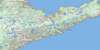
Weir's Pond Topo Map Online
Download Free Topo Map Sheet 002E01 at 1:50,000 scale
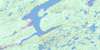
002E01 Weir's Pond Topo Map
To view this map, mouse over the map preview on the right.
You can also download this topo map for free:
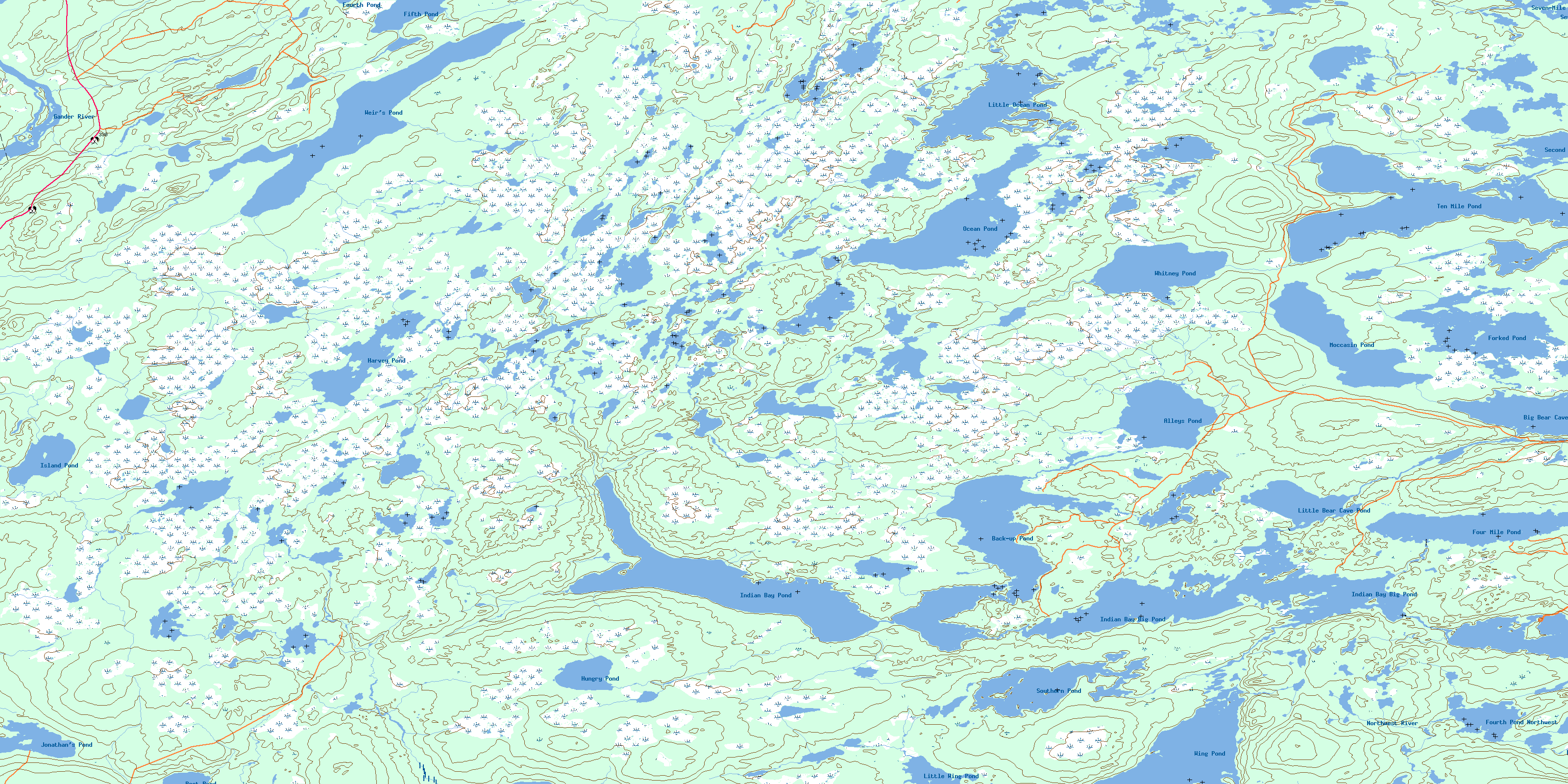
002E01 Weir's Pond high-resolution topo map image.
Maps for the Weir's Pond topo map sheet 002E01 at 1:50,000 scale are also available in these versions:
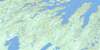
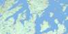
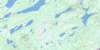
Weir's Pond Surrounding Area Topo Maps
 |
 |
 |
|
 |
 |
 |
 |
 |
 |
 |
 |
 |
 |
 |
 |
© Department of Natural Resources Canada. All rights reserved.
Weir's Pond Gazetteer
The following places can be found on topographic map sheet 002E01 Weir's Pond:
Weir's Pond Topo Map: Beaches
First Pond BarWeir's Pond Topo Map: Islands
ADM IslandGartue Island
Weir's Pond Topo Map: Lakes
Alder PondAlleys Pond
Anchor Pond
Arrow Head Pond
Back-up Pond
Balls Pond
Beaver Pond
Beaver Ponds
Big Bear Cave Pond
Big Bear Cove Pond
Big Island Pond
Big Northwest Pond
Big Slaughter Pond
Big Tilt Pond
Boot Pond
Camp Pond
Camp Pond
Charlies Raft Pond
Dog Pond
Dog Pond Steadies
Eleven Mile Pond
Eleven Mile Steadies
Fifth Pond
Five Island Pond
Fools Pond
Forked Pond
Forkey Pond
Four Mile Pond
Fourth Pond
Fourth Pond
Fourth Pond Northwest
Geralds Pond
Goose Pond
Goose Ponds
Guards Pond
Halfmoon Pond
Harvey Pond
Herring Scale Pond
Home Pond
Horseshoe Ponds
Hungry Pond
Indian Bay Big Pond
Indian Bay Pond
Island Pond
Jims Steady
Jonathan's Pond
Little Bear Cave Pond
Little Bear Cove Pond
Little Island Pond
Little Ocean Pond
Little Ocean Pond
Little Tabbs Pond
Little Wing Pond
Long Pond
Lushs Pond
Moccasin Pond
Muddy Gullies
Nine Mile Pond
Nine Mile Steadies
Number Two Pond
Ocean Pond
Phils Steady
Pine Pond
Powder and Shot Pond
Queens Pond
Rocky Pond
Rocky Tilt Pond
Rum Pond
Second Double Pond
Seven-Mile Pond
Seventh Pond
Shadow Pond
Shoe Pond
Sixth Pond
Sixth Pond
Skippers Pond
Slaughter Pond
Southern Pond
Southwest Pond
Stuckeys Pond
Tabbs Pond
Ten Mile Pond
Third Northwest Pond
Third Pond
Thompsons Pond
Three Corner Pond
Three Legged Beaver Pond
Traverse Waters
Twelve Mile Pond
Twenty-Eight Pond
Weir's Pond
Wester Pond
Whitney Pond
Wing Pond
Weir's Pond Topo Map: Mountains
Anchor Pond LookoutBurnt Hills
The Tolt
Thirty-Three Ridge
Weirs Hill
Wings Tower
Weir's Pond Topo Map: Rapids
First RattleWeir's Pond Topo Map: Rivers
Alder BrookAlleys Brook
Anchor Brook
Dog Pond Brook
Easter Feeder
Eleven Mile Brook
Gander River
Inside Muddy Gully
Joes Feeder
Jonathan's Brook
Muddy Gully Brook
Northwest River
Number Two River
Third Brook
Traverse Brook
Weir's Brook
Wester Brook
Wester Feeder
Wing Brook
Weir's Pond Topo Map: River features
Sunshine PoolWeir's Pond Topo Map: Low vegetation
Abel Tucks BogAlder Brook Marsh
Blakes Marsh
Bobcat Marsh
Brinsons Marsh
Burseys Marsh
Dead Deer Marsh
Divide Marsh
Eleven Mile Marsh
Firey Marshes
Island Pond Bog
Lookout Marshes
Nine Mile Marshes
Seven Mile Bogs
The Cow Marshes
© Department of Natural Resources Canada. All rights reserved.
002E Related Maps:
002E Botwood002E01 Weir's Pond
002E02 Gander River
002E03 Botwood
002E04 Hodges Hill
002E05 Robert's Arm
002E06 Point Leamington
002E07 Comfort Cove-Newstead
002E08 Carmanville
002E09 Fogo
002E10 Twillingate
002E11 Exploits
002E12 Little Bay Island
002E13 Nippers Harbour
002E14 Cape St. John
002E16 Little Fogo Islands
