Botwood Topo Map Online
Download Free Topo Map Sheet 002E03 at 1:50,000 scale
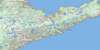
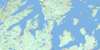
002E03 Botwood Topo Map
To view this map, mouse over the map preview on the right.
You can also download this topo map for free:
002E03 Botwood high-resolution topo map image.
Maps for the Botwood topo map sheet 002E03 at 1:50,000 scale are also available in these versions:
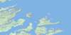
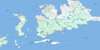
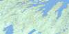
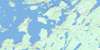
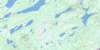
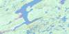
Botwood Surrounding Area Topo Maps
 |
 |
 |
|
 |
 |
 |
 |
 |
 |
 |
 |
 |
 |
 |
 |
© Department of Natural Resources Canada. All rights reserved.
Botwood Gazetteer
The following places can be found on topographic map sheet 002E03 Botwood:
Botwood Topo Map: Bays
Bay of ExploitsBurnt Arm
Burnt Bay
Jesse Cove
Joe's Cove
Kite Cove
Lewisporte Harbour
Norris Arm
Northern Arm
Peters Arm
Phillips Cove
Winter House Cove
Botwood Topo Map: Capes
Beatons PointCains Point
Evans Point
Gills Point
High Point
High Point
Killick Point
Little Peter Point
Lower Sandy Point
Melvins Point
Mill Point
Northern Arm Point
Old Wharf
Phillips Head
Shoal Point
Upper Sandy Point
Wigwam Point
Wiseman Head
Botwood Topo Map: Cliffs
Crow CliffRed Cliff
Botwood Topo Map: Islands
All in the Way IslandRight in the Road Island
Botwood Topo Map: Lakes
Amy's LakeBear Lake
Beatty Lake
Big Eel Lake
Bradbury Lake
Burnt Bay Lake
Collins Lake
Conaway Lake
Dougal Lane Pond
Grants Lake
Island Pond
Junction Lake
Junction Pond
Lewis Lake
Lily Pond
Little Eel Lake
Mill Lake
Munroes Pond
O'Brien Lake
Peters Pond
Phillips Lake
Rattling Lake
Scawett Pond
Shirley Lake
Southwest Pond
Sun Pond
Sylt Lake
Templeman Lake
Upper Scissors Pond
Botwood Topo Map: Mountains
The Kings RidgeWhetstone Hill
Botwood Topo Map: Conservation areas
Newfoundland T'Railway Provincial ParkNotre Dame Provincial Park
Botwood Topo Map: Rivers
Charles BrookEel Brook
Exploits River
Indian Arm Brook
Jumpers Brook
Junction Pond Brook
Muddy Hole Brook
New Bay River
Northern Arm Brook
Peters River
Rattling Brook
Southwest Brook
Botwood Topo Map: Towns
Bishop's FallsBotwood
Lewisporte
Norris Arm
Northern Arm
Peterview
Botwood Topo Map: Unincorporated areas
AlderburnBishops Falls South
Brown's Arm-Porterville
Burnt Arm
Jumpers Brook
Laurenceton
Norris Arm North
North Side Norris Arm
Notre Dame Junction
Phillips Head
Rattling Brook
Sandy Point
South Side
Botwood Topo Map: Low vegetation
The Barrens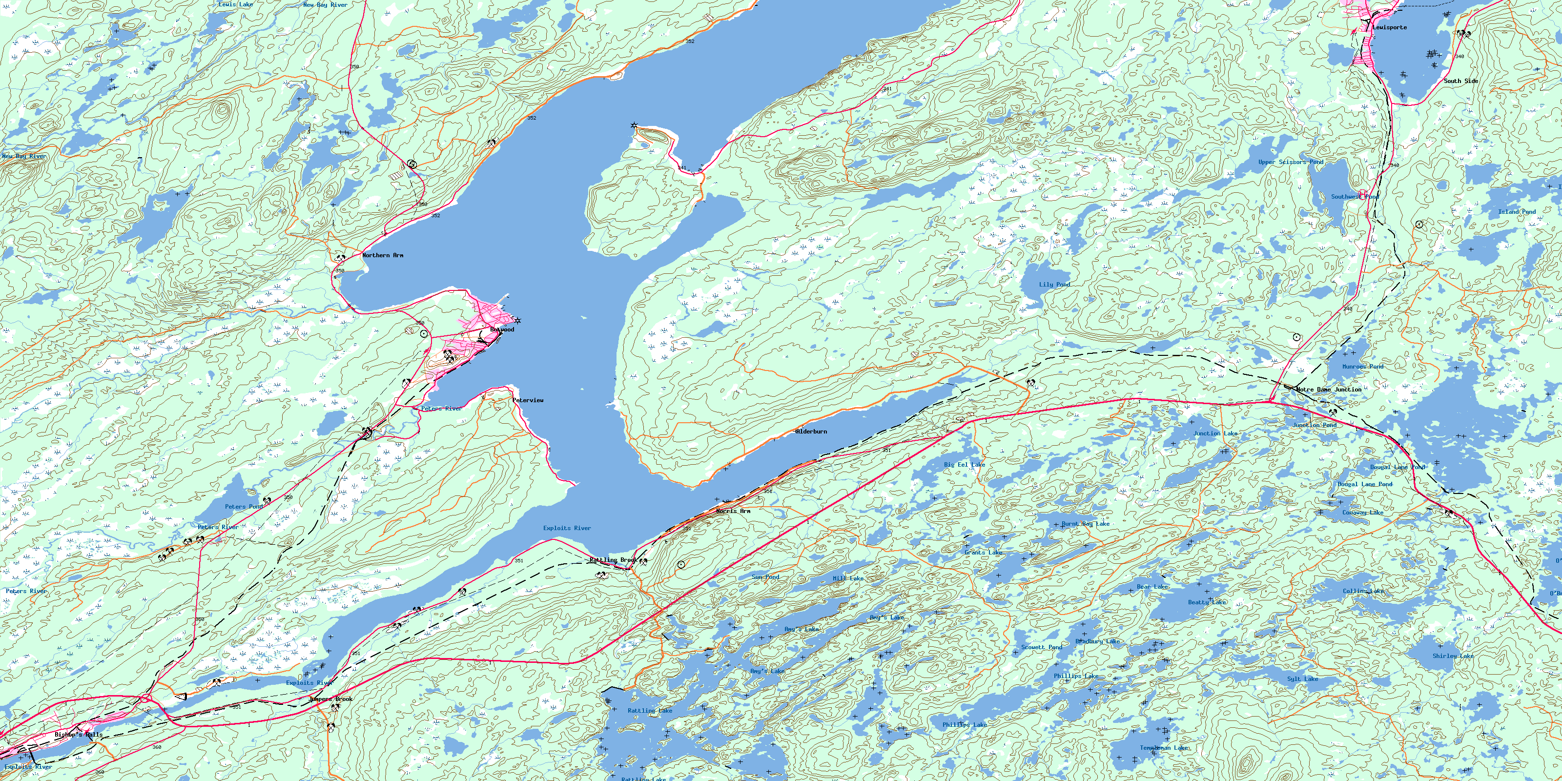
© Department of Natural Resources Canada. All rights reserved.
002E Related Maps:
002E Botwood002E01 Weir's Pond
002E02 Gander River
002E03 Botwood
002E04 Hodges Hill
002E05 Robert's Arm
002E06 Point Leamington
002E07 Comfort Cove-Newstead
002E08 Carmanville
002E09 Fogo
002E10 Twillingate
002E11 Exploits
002E12 Little Bay Island
002E13 Nippers Harbour
002E14 Cape St. John
002E16 Little Fogo Islands
