Carmanville Topo Map Online
Download Free Topo Map Sheet 002E08 at 1:50,000 scale
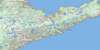
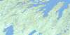
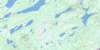
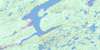
002E08 Carmanville Topo Map
To view this map, mouse over the map preview on the right.
You can also download this topo map for free:
002E08 Carmanville high-resolution topo map image.
Maps for the Carmanville topo map sheet 002E08 at 1:50,000 scale are also available in these versions:
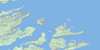
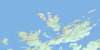
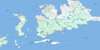
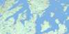
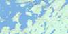
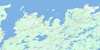
Carmanville Surrounding Area Topo Maps
 |
 |
 |
|
 |
 |
 |
 |
 |
 |
 |
 |
 |
 |
 |
 |
© Department of Natural Resources Canada. All rights reserved.
Carmanville Gazetteer
The following places can be found on topographic map sheet 002E08 Carmanville:
Carmanville Topo Map: Bays
Aspen CoveCarmanville Arm
Dog Bay
Dormans Cove
Eastern Arm
Frederickton Harbour
Gander Bay
Horwood Bay
Ladle Cove
Middle Arm
Noggin Cove
North West Arm
Ragged Harbour
Rocky Bay
Shoal Bay
South West Arm
Carmanville Topo Map: Capes
Bussey's PointClark Point
Dog Bay Point
Dormans Point
Gaze Point
Ladle Point
Mann Point
Noggin Point
Ragged Point
Rocky Point
Tea Kettle Point
Tucks High Point
Twillick Point
White Point
Wings Point
Carmanville Topo Map: Channels
Bloody TickleCarmanville Topo Map: Islands
Bluey IsletBoulder Islets
Dog Islands
Duck Island
Fox Island
Gander Island
Green Island
Ladle Island
Noggin Cove Islands
Noggin Island
Salt Island
Seal Islands
Storehouse Island
Tickle Island
White Island
Carmanville Topo Map: Lakes
Banting LakeBarry's Ponds
Fifth Pond
First Pond
First Pond
Fourth Pond
Fourth Pond
Great Eastern Pond
Island Pond
Mann Pond
New Pond
Round Pond
Second Pond
Second Pond
Seven-Mile Pond
Shoal Pond
South Pond
Swallow Tail Pond
Third Pond
Third Pond
Carmanville Topo Map: Mountains
Beaver HillDog Peak
Noggin Hill
Carmanville Topo Map: Other municipal/district area - miscellaneous
Musgrave Harbour-Doting CoveCarmanville Topo Map: Rivers
Barry's BrookGander Bay Brook
Gander River
Noggin Cove Brook
Ragged Harbour River
Carmanville Topo Map: Shoals
Gill Bird RockHound Rock
Lady Rock
Lord Rock
Noggin Sunkers
Noggins Sunkers
Paytrick Rock
Wabby Rock
Carmanville Topo Map: Towns
CarmanvilleMusgrave Harbour
Carmanville Topo Map: Unincorporated areas
Aspen CoveBeaver Cove
Carmanville South
Clarke's Head
Davidsville
Frederickton
Gander Bay
Gander Bay North
Gander Bay South
Gander Bay South
Harris Point
Ladle Cove
Main Point
Main Point-Davidsville
Mann Point
Noggin Cove
Pinsent
Tims Harbour
Victoria Cove
Wings Point
Carmanville Topo Map: Low vegetation
Philips Marsh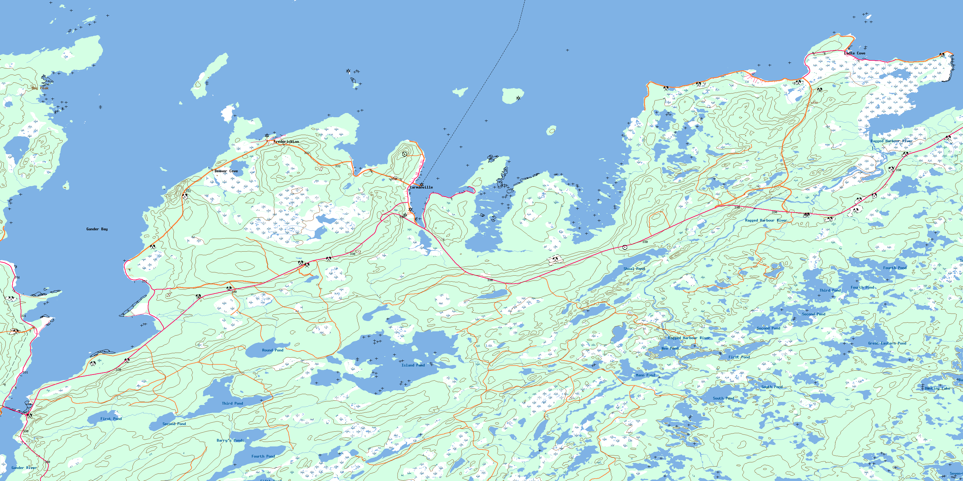
© Department of Natural Resources Canada. All rights reserved.
002E Related Maps:
002E Botwood002E01 Weir's Pond
002E02 Gander River
002E03 Botwood
002E04 Hodges Hill
002E05 Robert's Arm
002E06 Point Leamington
002E07 Comfort Cove-Newstead
002E08 Carmanville
002E09 Fogo
002E10 Twillingate
002E11 Exploits
002E12 Little Bay Island
002E13 Nippers Harbour
002E14 Cape St. John
002E16 Little Fogo Islands
