Jackson's Arm Topo Map Online
Download Free Topo Map Sheet 012H15 at 1:50,000 scale
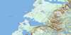
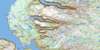
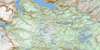
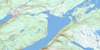
012H15 Jackson's Arm Topo Map
To view this map, mouse over the map preview on the right.
You can also download this topo map for free:
012H15 Jackson's Arm high-resolution topo map image.
Maps for the Jackson's Arm topo map sheet 012H15 at 1:50,000 scale are also available in these versions:
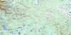
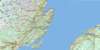
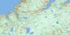
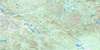
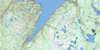
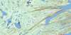
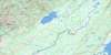
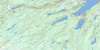
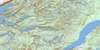
Jackson's Arm Surrounding Area Topo Maps
 |
 |
 |
 |
 |
 |
 |
 |
 |
 |
 |
 |
 |
 |
 |
 |
© Department of Natural Resources Canada. All rights reserved.
Jackson's Arm Gazetteer
The following places can be found on topographic map sheet 012H15 Jackson's Arm:
Jackson's Arm Topo Map: Bays
Allen's CoveApsey Cove
Aspy Cove
Back Arm
Batts Cove
Bear Cove
Big Cove
Big Cove
Birchy Cove
Birchy Cove
Breakfast Cove
Breakfast Cove
Breakheart Cove
Burnt Cove
Burnt Head Cove
Camp Cove
Clay Cove
Dark Gulch Cove
Deadmans Cove
Deep Cove
Dossenger Cove
Eagle Cove
Engine Cove
Fox Cove
Frenchman's Cove
Gales Cove
Gallows Cove
Garden Cove
Giles Cove
Gills Cove
Godfather Cove
Grassy Cove
Great Coney Arm
Hauling Cove
Jackson's Arm
Jockeys Cove
Little Coney Arm
Man O'War Cove
Munlan's Cove
New Jobs Cove
Old House Cove
Old House Cove
Otter Cove
Pound Cove
Punt Cove
Purbeck's Cove
Rosemary Cove
Rum Cove
Schooner Cove
Schooner Cove
Schooner Cove
Shoal Cove
Sops Arm
Sops Cove
Stuckless Cove
The Bottom
Toms Cove
Walker's Cove
Western Arm
Westport Cove
Whale Gulch
White Bay
White Iron Hill Cove
Wicks Cove
Wild Cove
Winterhouse Cove
Wiseman's Cove
Jackson's Arm Topo Map: Beaches
The Straight ShoreJackson's Arm Topo Map: Capes
Baie Verte PeninsulaBartletts Point
Big Cove Head
Birchy Point
Breakfast Point
Capelan Point
Capelin Point
Cobbler Head
Coney Head
Crispin Point
Dark Gulch Point
Eastern Head
Eastern Head
Ford Point
Frenchman's Head
Godfather Point
Hauling Point
Hauling Point
Herbert Point
Herring Point
Low Point
Man O'War Point
Man Point
Northern Peninsula
Old House Point
Open Head
Otter Point
Red Point
Rocky Point
Salmon-House Point
Seal Point
Shale Point
Shoal Point
Spruce Point
Strutt Point
Tom Cod Point
Virgin Point
Western Head
White Point
Wild Cove Point
Jackson's Arm Topo Map: Channels
North ChannelSouth Channel
The Narrows
The Narrows
The Tickle
Western Tickle
Jackson's Arm Topo Map: Islands
Bad IslandBear Cove Island
Georges Island
Little Pigeon Island
Pigeon Island
Pigeon Islands
Shellbird Island
Sops Island
Jackson's Arm Topo Map: Lakes
Alderbed PondApsey Cove Pond
Breakheart Cove Pond
Brians Pond
Deadmans Pond
Devils Pond
Fox Bait Pond
Grassy Steady
Hideaway Pond
Jackson's Arm Pond
Jackson's Arm Second Pond
Johns Pond
Little Tickle Pond
Long Steady
Lushs Pond
Old House Cove Pond
Pittmans Island Pond
Rattle Brook Pond
Round Pond
Ryans Pond
Saltwater Pond
Second Pond
Jackson's Arm Topo Map: Mountains
Batteau HillBig Hill
Carrol Hill
Charity Hill
Devils Dressing Notch
Devils Dressing Place
Gulnare Hill
Harris Hill
Long Range Mountains
O'Adams Ridge
Penny Hills
Rice Mountain
Sops Hill
Stony Hill
Jackson's Arm Topo Map: Conservation areas
Main River Waterway Provincial ParkSop's Arm Provincial Park
Jackson's Arm Topo Map: Rivers
Big Arm BrookDoucers Brook
East Brook
Eastern Brook
Little Brook
Main River
Northern Feeder
Northwest Brook
Otter Trap Brook
Rattle Brook
West Brook
Western Arm Brook
Western Brook
Wild Cove Brook
Jackson's Arm Topo Map: Shoals
Dossenger RockFisherman's Bank
Gull Rocks
Mile Rocks
Shag Rock
Steering Rock
Steering Rock
The Shoals
Virgin Rocks
Jackson's Arm Topo Map: Towns
Jackson's ArmWestport
Jackson's Arm Topo Map: Unincorporated areas
Back CoveBear Cove
Coney Arm
Pound Cove
Purbeck's Cove
Sop's Arm
Sops Island
Stuckless Cove
Western Arm
Jackson's Arm Topo Map: Valleys
Devonshire Valley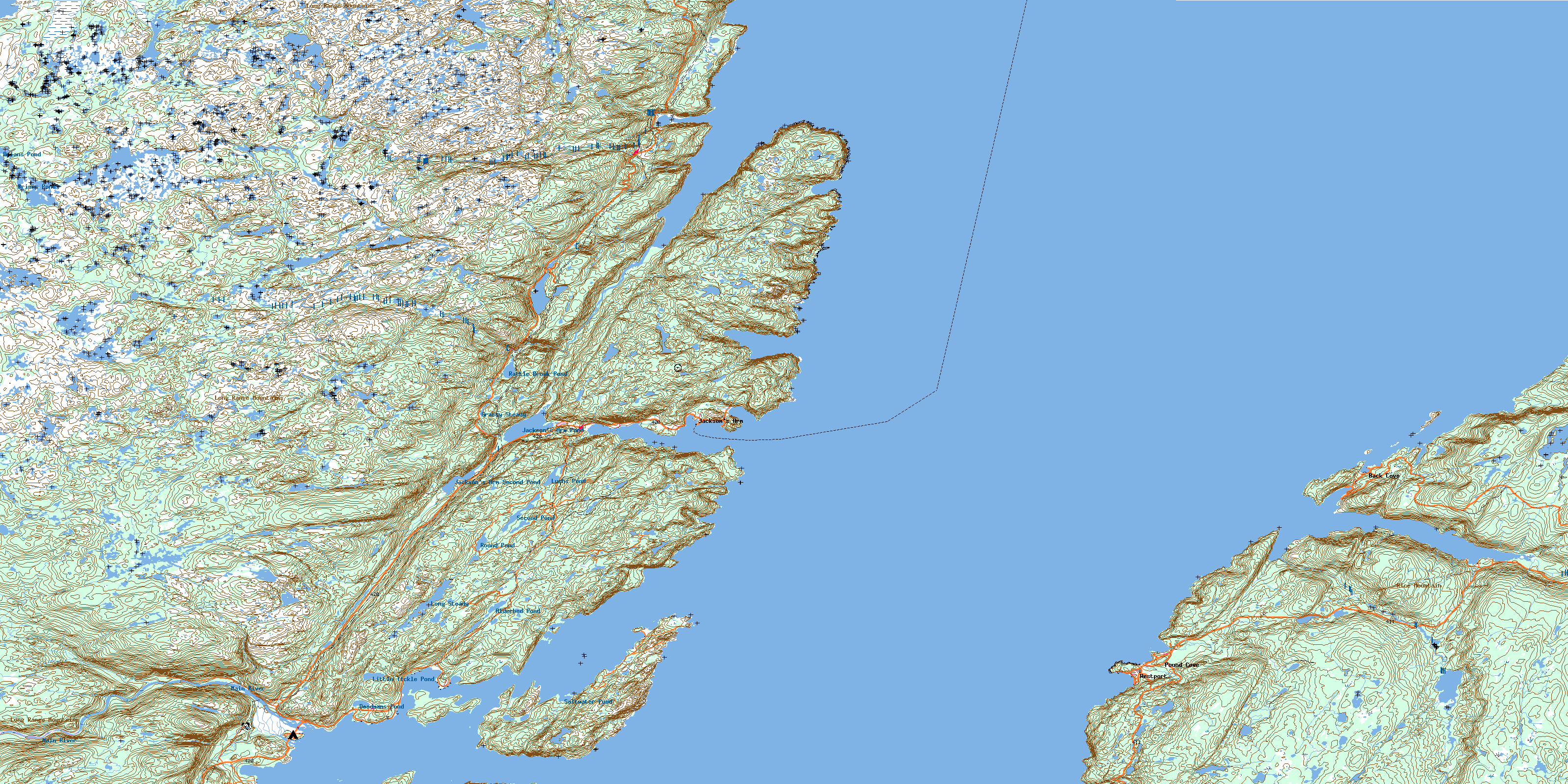
© Department of Natural Resources Canada. All rights reserved.
012H Related Maps:
012H Sandy Lake012H01 Dawes Pond
012H02 The Topsails
012H03 Deer Lake
012H04 Pasadena
012H05 Lomond
012H06 Cormack
012H07 Sheffield Lake
012H08 Springdale
012H09 King's Point
012H10 Hampden
012H11 Silver Mountain
012H12 Gros Morne
012H13 St Pauls Inlet
012H14 Main River
012H15 Jackson's Arm
012H16 Baie Verte
