Minstrel Island Topo Map Online
Download Free Topo Map Sheet 092L09 at 1:50,000 scale
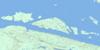
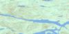
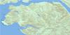
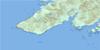
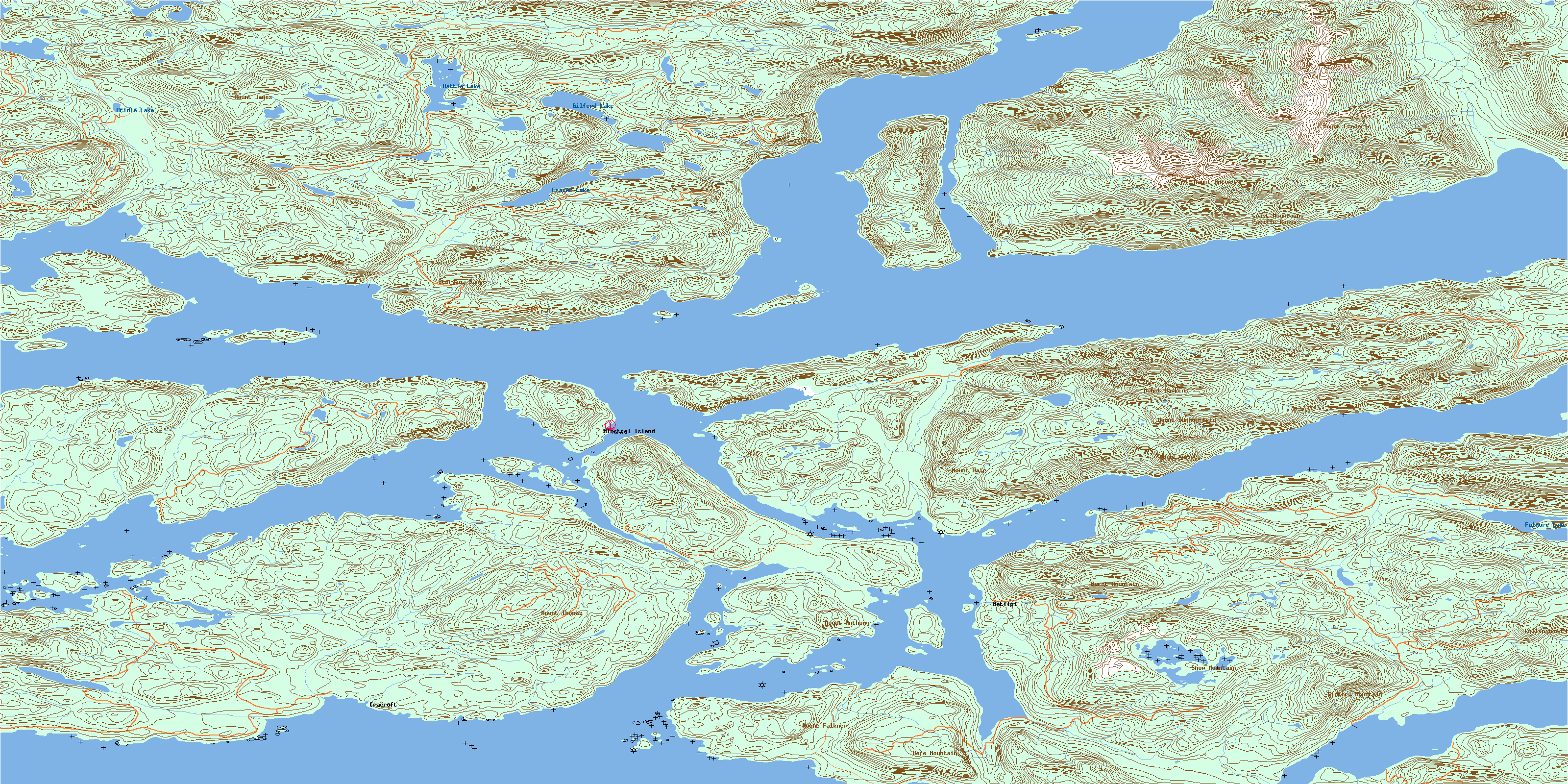
092L09 Minstrel Island Topo Map
To view this map, mouse over the map preview on the right.
You can also download this topo map for free:
092L09 Minstrel Island high-resolution topo map image.
Maps for the Minstrel Island topo map sheet 092L09 at 1:50,000 scale are also available in these versions:
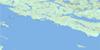
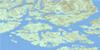
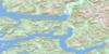
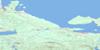
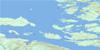
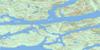
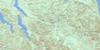
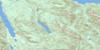
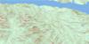
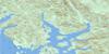
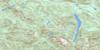
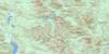
Minstrel Island Surrounding Area Topo Maps
 |
 |
 |
 |
 |
 |
 |
 |
 |
 |
 |
 |
 |
 |
 |
 |
© Department of Natural Resources Canada. All rights reserved.
Minstrel Island Gazetteer
The following places can be found on topographic map sheet 092L09 Minstrel Island:
Minstrel Island Topo Map: Bays
Bones BayBoughey Bay
Burial Cove
Call Inlet
Caution Cove
Chop Bay
Cracroft Inlet
Cutter Cove
Echo Bay
Felix Bay
Forward Bay
Gilford Bay
Hadley Bay
Lagoon Cove
Levesque Bay
Little Bay
Lull Bay
Maple Bay
Maple Cove
Open Cove
Port Elizabeth
Port Harvey
Port Harvey Harbour
Port Neville
Shelter Cove
Shoal Harbour
Soderman Cove
Tsakonu Cove
Turnour Bay
Minstrel Island Topo Map: Capes
Air PointBamber Point
Bennett Point
Bockett Point
Boulder Point
Cleave Point
Domville Point
Gilford Point
Harvey Point
July Point
Littleton Point
Malone Point
Montagu Point
Nicholas Point
Prominent Point
Protection Point
Pumish Point
Ray Point
Robbers Knob
Robbers Nob
Root Point
Sambo Point
Shelterless Point
Squire Point
Steep Head
Steep Point
Transit Point
Tribune Point
Turn Point
White Nob Point
Whitebeach Point
Minstrel Island Topo Map: Channels
Chatham ChannelClapp Passage
Clio Channel
Havannah Channel
Nickoll Passage
Sargeaunt Passage
The Blow Hole
Tribune Channel
Wilson Passage
Minstrel Island Topo Map: Cliffs
Batt BluffMist Bluff
Stormy Bluff
Minstrel Island Topo Map: Indian Reserves
Apsagayu Indian Reserve 1ACoffin Island Indian Reserve 3
Etsekin Indian Reserve 1
Karlukwees Indian Reserve 1
Keecekiltum Indian Reserve 2
Kyimla Indian Reserve 11
Réserve indienne Apsagayu 1A
Réserve indienne Coffin Island 3
Réserve indienne Etsekin 1
Réserve indienne Karlukwees 1
Réserve indienne Keecekiltum 2
Réserve indienne Kyimla 11
Réserve indienne Small Island 4
Small Island Indian Reserve 4
Minstrel Island Topo Map: Islands
Amyes IslandAtchison Island
Bend Island
Bockett Islets
Bowers Islands
Braza Island
Broken Islands
Broughton Archipelago
Bush Islets
Cracroft Islands
Cutter Islet
Doctor Islets
Dorman Island
East Cracroft Island
Farquharson Island
Gilford Island
Green Island
Green Islet
Grogan Island
Havannah Islets
Hazel Island
Hull Island
Indian Islands
Jamieson Island
Joliffe Island
Kamano Island
Klaoitsis Island
Kumlah Island
Lady Islands
Lily Islet
Lord Islet
Martin Islands
Martin Islets
Minstrel Island
Mist Islets
Mistake Island
Perley Island
Range Island
Rest Islets
Round Island
Shewell Island
Tide Pole Islet
Tom Islet
Triangle Island
Turnour Island
Viscount Island
Warren Islands
West Cracroft Island
Minstrel Island Topo Map: Lakes
Battle LakeBridie Lake
Findlay Lake
Fraser Lake
Fulmore Lake
Gilford Lake
Potts Lagoon
Minstrel Island Topo Map: Mountains
Bare MountainBurnt Mountain
Chaîne Côtière
Coast Mountains
Collingwood Mount
Georgina Range
Mount Anthony
Mount Antony
Mount Falkner
Mount Frederic
Mount Gosset
Mount Haig
Mount Hawkins
Mount James
Mount Nelson
Mount Summerfield
Mount Thomas
Mount Victory
Nelson Ridge
Pacific Ranges
Snow Mountain
Victory Mountain
Minstrel Island Topo Map: Major municipal/district area - major agglomerations
Regional District of Mount WaddingtonMinstrel Island Topo Map: Conservation areas
Echo Bay Marine ParkMinstrel Island Topo Map: Rivers
Bones CreekCall Creek
Gilford Creek
Lull Creek
Minstrel Island Topo Map: Shoals
Boughey ShoalBrowning Rock
Call Shoal
Channel Rock
Escape Reef
Hull Rock
Humphrey Rock
Negro Rock
Turnour Rock
Minstrel Island Topo Map: Unincorporated areas
Bones BayCracroft
Kalukwees
Karlukwees
Matilpi
Minstrel Island
© Department of Natural Resources Canada. All rights reserved.
092L Related Maps:
092L Alert Bay092L01 Schoen Lake
092L02 Woss Lake
092L03 Kyuquot
092L04 Brooks Peninsula
092L05 Mahatta Creek
092L06 Alice Lake
092L07 Nimpkish
092L08 Adam River
092L09 Minstrel Island
092L10 Alert Bay
092L11 Port Mcneill
092L12 Quatsino
092L13 Shushartie
092L14 Bradley Lagoon
092L15 Broughton Island
092L16 Kingcome Inlet
