Schoen Lake Topo Map Online
Download Free Topo Map Sheet 092L01 at 1:50,000 scale
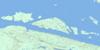
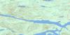
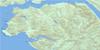
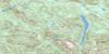
092L01 Schoen Lake Topo Map
To view this map, mouse over the map preview on the right.
You can also download this topo map for free:
092L01 Schoen Lake high-resolution topo map image.
Maps for the Schoen Lake topo map sheet 092L01 at 1:50,000 scale are also available in these versions:
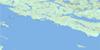
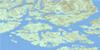
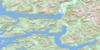
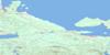
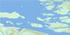
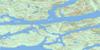
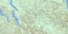
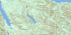
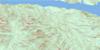
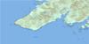
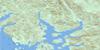
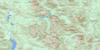
Schoen Lake Surrounding Area Topo Maps
 |
 |
 |
 |
 |
 |
 |
 |
 |
 |
 |
 |
 |
 |
 |
 |
© Department of Natural Resources Canada. All rights reserved.
Schoen Lake Gazetteer
The following places can be found on topographic map sheet 092L01 Schoen Lake:
Schoen Lake Topo Map: Falls
Kiwi FallsSchoen Lake Topo Map: Islands
Île de VancouverVancouver Island
Schoen Lake Topo Map: Lakes
Beston LakeCrowman Lake
Harrison Lake
Kiwi Lake
Klaklakama Lake
Klaklakama Lakes
Laronde Lake
Nisnak Lake
Schoen Lake
Stewart Lake
Twaddle Lake
Vernon Lake
Williams' Lakes
Schoen Lake Topo Map: Mountains
Eden MountainGenesis Mountain
Hapush Mountain
Kokummi Mountain
Maquilla Peak
Mount Abel
Mount Adam
Mount Alston
Mount Cain
Mount Nora
Mount Schoen
Queen Peak
Schoen Mountain
Shoen Peak
Sutton Peak
Sutton Range
Vancouver Island Mountains
Vancouver Island Ranges
Victoria Peak
Warden Peak
Watchtower Peak
Schoen Lake Topo Map: Major municipal/district area - major agglomerations
Regional District of Comox-StrathconaRegional District of Mount Waddington
Schoen Lake Topo Map: Conservation areas
Schoen Lake ParkStrathcona Park
White River Park
White River Pocket Wilderness Park
Schoen Lake Topo Map: Recreational sites
Mount CainSchoen Lake Topo Map: Rivers
Abel CreekAdam River
Alston Creek
Cain Creek
Compton Creek
Consort Creek
Crowman Creek
Davie River
Elbow Creek
Fire Creek
Gerald Creek
Kiyu Creek
Kunnum Creek
Maquilla Creek
Moakwa Creek
Montague Creek
Nimpkish River
Nisnak Creek
Nora Creek
Schoen Creek
Sebalhall Creek
Serpent Creek
Sutton Creek
Swah Creek
Temptation Creek
Tsitika River
Tsitkwa River
White River
Yookwa Creek
Schoen Lake Topo Map: Unincorporated areas
VernonVernon Camp
Schoen Lake Topo Map: Valleys
White Gold Pass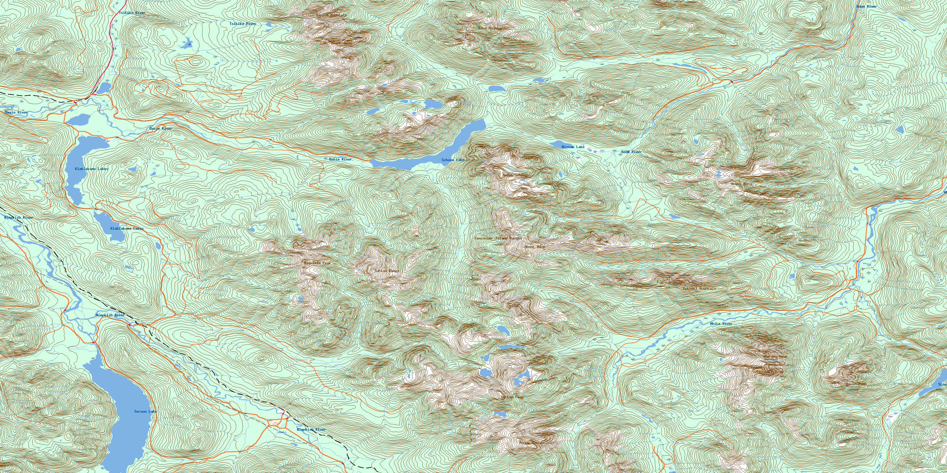
© Department of Natural Resources Canada. All rights reserved.
092L Related Maps:
092L Alert Bay092L01 Schoen Lake
092L02 Woss Lake
092L03 Kyuquot
092L04 Brooks Peninsula
092L05 Mahatta Creek
092L06 Alice Lake
092L07 Nimpkish
092L08 Adam River
092L09 Minstrel Island
092L10 Alert Bay
092L11 Port Mcneill
092L12 Quatsino
092L13 Shushartie
092L14 Bradley Lagoon
092L15 Broughton Island
092L16 Kingcome Inlet
