Kingcome Inlet Topo Map Online
Download Free Topo Map Sheet 092L16 at 1:50,000 scale
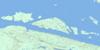
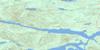
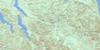
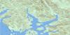
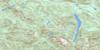
092L16 Kingcome Inlet Topo Map
To view this map, mouse over the map preview on the right.
You can also download this topo map for free:
092L16 Kingcome Inlet high-resolution topo map image.
Maps for the Kingcome Inlet topo map sheet 092L16 at 1:50,000 scale are also available in these versions:
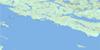
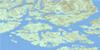
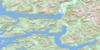
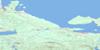
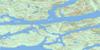
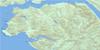
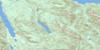
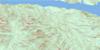
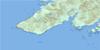
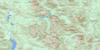
Kingcome Inlet Surrounding Area Topo Maps
 |
 |
 |
 |
 |
 |
 |
 |
 |
 |
 |
 |
 |
 |
 |
 |
© Department of Natural Resources Canada. All rights reserved.
Kingcome Inlet Gazetteer
The following places can be found on topographic map sheet 092L16 Kingcome Inlet:
Kingcome Inlet Topo Map: Bays
Anchorage CoveEcho Bay
Kingcome Inlet
Kwatsi Bay
Scott Cove
Wahkana Bay
Watson Cove
Kingcome Inlet Topo Map: Capes
Brown PointClam Point
Esther Point
Evangeline Point
Frances Point
Galway Point
Gormely Point
Halliday Point
Irvine Point
King Point
Kwatsi Point
Loaf Point
London Point
Miller Point
Petley Point
Philadelphia Point
Powell Point
Rainy Point
Raleigh Point
Sybilla Point
Terease Point
Trafford Point
Walker Point
White Point
Wishart Peninsula
Kingcome Inlet Topo Map: Channels
Belleisle SoundBond Sound
Hornet Passage
Simoom Sound
Thompson Sound
Tribune Channel
Viner Sound
Wakeman Sound
Kingcome Inlet Topo Map: Indian Reserves
Ahta Indian Reserve 3Bat-l-ki Indian Reserve 3
Charles Creek Indian Reserve 2
Kakweken Indian Reserve 4
Meetup Indian Reserve 2
Quaee Indian Reserve 7
Réserve indienne Ahta 3
Réserve indienne Bat-l-ki 3
Réserve indienne Charles Creek 2
Réserve indienne Kakweken 4
Réserve indienne Meetup 2
Réserve indienne Quaee 7
Kingcome Inlet Topo Map: Islands
Broughton ArchipelagoBurdwood Group
Denham Island
Edmond Islands
Edmond Islet
Gilford Island
Hunter Island
Louisa Islet
Penn Island
Penn Islet
Sackville Island
Walker Islet
Kingcome Inlet Topo Map: Lakes
Loose LakePointer Lake
Viner Lake
Kingcome Inlet Topo Map: Mountains
Bald MountainCarrington Hills
Chaîne Côtière
Charles Hill
Coast Mountains
Craig Hills
Kingcome Mountains
Kingcome Range
Miriam Range
Mount Appolina
Mount Constable
Mount Dunsterville
Mount Everingham
Mount Foster
Mount Hooper
Mount Hulton
Mount Mathison
Mount Plowden
Mount Prescott
Mount Read
Mount Sophia
Mount Walter
Pacific Ranges
Smyth Cone
Kingcome Inlet Topo Map: Major municipal/district area - major agglomerations
Regional District of Mount WaddingtonKingcome Inlet Topo Map: Conservation areas
Echo Bay Marine ParkKingcome Inlet Topo Map: Rivers
Ahta RiverCharles Creek
Corsan Creek
Holden Creek
Kakweiken River
Kingcome River
Lull Creek
McAlister Creek
Kingcome Inlet Topo Map: Shoals
Esther ShoalEvangeline Rock
Smith Rock
Kingcome Inlet Topo Map: Unincorporated areas
Echo BayKingcome
Kingcome Inlet
Scott Cove
Simoom Sound
Thompson Sound
Kingcome Inlet Topo Map: Valleys
Ahta Valley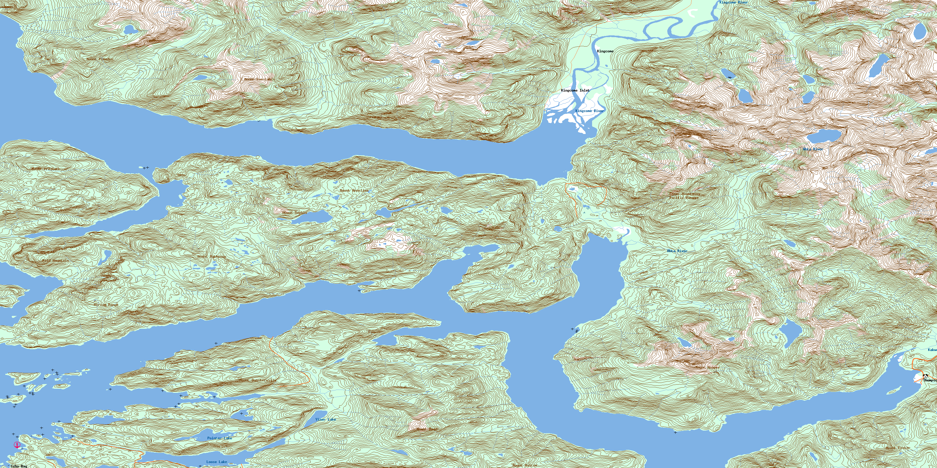
© Department of Natural Resources Canada. All rights reserved.
092L Related Maps:
092L Alert Bay092L01 Schoen Lake
092L02 Woss Lake
092L03 Kyuquot
092L04 Brooks Peninsula
092L05 Mahatta Creek
092L06 Alice Lake
092L07 Nimpkish
092L08 Adam River
092L09 Minstrel Island
092L10 Alert Bay
092L11 Port Mcneill
092L12 Quatsino
092L13 Shushartie
092L14 Bradley Lagoon
092L15 Broughton Island
092L16 Kingcome Inlet
