Alert Bay Topo Map Online
Download Free Topo Map Sheet 092L10 at 1:50,000 scale
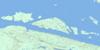
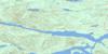
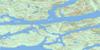
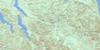
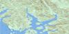
092L10 Alert Bay Topo Map
To view this map, mouse over the map preview on the right.
You can also download this topo map for free:
092L10 Alert Bay high-resolution topo map image.
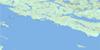
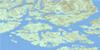
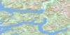
Maps for the Alert Bay topo map sheet 092L10 at 1:50,000 scale are also available in these versions:
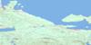
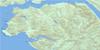
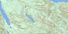
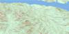
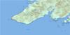
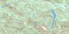
Alert Bay Surrounding Area Topo Maps
 |
 |
 |
 |
 |
 |
 |
 |
 |
 |
 |
 |
 |
 |
 |
 |
© Department of Natural Resources Canada. All rights reserved.
Alert Bay Gazetteer
The following places can be found on topographic map sheet 092L10 Alert Bay:
Alert Bay Topo Map: Bays
Alert BayBauza Cove
Beaver Cove
Betty Cove
Beware Cove
Boat Bay
Carrie Bay
Caution Cove
Chop Bay
Dong Chong Bay
Double Bay
Duck Cove
Dusky Cove
False Cove
Farewell Harbour
Freshwater Bay
Gander Bay
Grebe Cove
Growler Cove
Health Bay
Joe Cove
Meade Bay
Mitchell Bay
Monday Anchorage
Native Anchorage
Parson Bay
Port Elizabeth
Potts Bay
Purves Cove
Sedgley Cove
Shoal Harbour
Sunday Harbour
Trinity Bay
Waddington Bay
Alert Bay Topo Map: Capes
Blinkhorn PeninsulaBold Head
Boulder Point
Bowlder Point
Broad Point
Burnt Point
Charles Point
Cracroft Point
Dead Point
Dinner Point
Donegal Head
Ella Point
Evans Point
Fire Point
George Point
Island Point
Isle Point
Islet Point
Leonard Point
Lewis Point
Licka Point
Lizard Point
Maggy Point
Meynell Point
Mink Point
Red Point
Rocky Point
Slate Point
Slope Point
Stoker Point
Success Point
Swaine Point
Tree Point
Turnour Point
Wastell Point
Alert Bay Topo Map: Channels
Arrow PassageBaronet Passage
Beware Passage
Blackfish Sound
Blackney Passage
Blunden Passage
Broughton Strait
Canoe Passage
Cormorant Channel
Cramer Passage
Crib Passage
Eliot Passage
George Passage
Indian Channel
Johnstone Strait
Misty Passage
Nowell Channel
Pearse Passage
Philips Passage
Providence Passage
Queen Charlotte Strait
Retreat Passage
Salmon Channel
Spiller Passage
Spring Passage
Sunday Passage
Swanson Passage
Trainer Passage
Village Channel
West Passage
Weynton Passage
Whitebeach Passage
Wilson Passage
Alert Bay Topo Map: Cliffs
Gordon BluffRipple Bluff
Warr Bluff
Yellow Bluff
Alert Bay Topo Map: Indian Reserves
Aglakumna Indian Reserve 4AAglakumna-la Indian Reserve 2
Alert Bay Indian Reserve 1
Alert Bay Indian Reserve 1A
Ches-la-kee Indian Reserve 3
Coffin Island Indian Reserve 3
Compton Island Indian Reserve 6
Dakiulis Indian Reserve 7
Dead Point Indian Reserve 5
Gwayasdums Indian Reserve 1
Ksui-la-das Indian Reserve 6
Kuldekduma Indian Reserve 7
Kye-Yaa-La Indian Reserve 1
Kye-yaa-la Indian Reserve 13
Mahmalillikullah Indian Reserve 1
Nimpkish Indian Reserve 2
Réserve indienne Aglakumna 4A
Réserve indienne Aglakumna-la 2
Réserve indienne Alert Bay 1
Réserve indienne Alert Bay 1A
Réserve indienne Ches-la-kee 3
Réserve indienne Coffin Island 3
Réserve indienne Compton Island 6
Réserve indienne Dakiulis 7
Réserve indienne Dead Point 5
Réserve indienne Gwayasdums 1
Réserve indienne Ksui-la-das 6
Réserve indienne Kuldekduma 7
Réserve indienne Kye-Yaa-La 1
Réserve indienne Kye-yaa-la 13
Réserve indienne Mahmalillikullah 1
Réserve indienne Nimpkish 2
Réserve indienne Umdagitis 9
Umdagitis Indian Reserve 9
Alert Bay Topo Map: Islands
Aglakumnala IslandAlder Island
Angular Island
Apples Islet
Baker Island
Bauza Islet
Berry Island
Blinkhorn Island
Bonwick Island
Broughton Archipelago
Brush Islet
Bush Islands
Canoe Islands
Canoe Islets
Care Island
Carey Group
Cecil Island
Cecil Islet
Cedar Island
Chart Island
Chart Islet
Coach Islands
Coach Islets
Compton Island
Cook Island
Cormorant Island
Cove Islet
Crease Island
Crib Island
Dot Islet
Eden Island
Fern Island
Fire Island
Flagstaff Islet
Flower Island
Fog Islets
Foster Island
Fox Group
Gilford Island
Goat Islands
Grave Island
Green Island
Green Islet
Hail Islands
Hail Islets
Hanson Island
Harbledown Island
Henrietta Island
High Island
Holford Islands
Holford Islets
House Island
House Islet
Hudson Island
Huston Islet
Île de Vancouver
Indian Group
Innis Island
Jumble Island
Jumble Islands
Kamano Island
Kamux Island
Kate Island
Kate Islet
Ksuiladas Island
Kuldekduma Island
Larsen Island
Leading Islet
Leone Island
Liska Islet
Lone Tree Islet
Madrona Island
Malcolm Island
Mars Island
Marsden Islands
Maud Island
Midsummer Island
Mist Island
Morning Islets
Morrow Island
Mound Island
Narrows Islet
Night Islet
Orr Island
Owl Island
Parson Island
Passage Islet
Pearl Island
Pearse Islands
Penfold Island
Penfold Islet
Pering Islets
Plumper Islands
Puzzle Islands
Ralph Island
Ridge Islands
Ridge Islets
Rough Islands
Rough Islets
Round Islet
Sail Island
Sarah Islets
Screen Island
Scrub Island
Scrub Islet
Seabreeze Island
Sedge Islands
Solitary Islet
Sophia Islands
South Islet
Spout Island
Spout Islet
Star Islets
Start Island
Steep Island
Steep Islet
Stephenson Island
Stephenson Islet
Stubbs Island
Surge Islands
Swanson Island
Tracey Island
Turnour Island
Twin Islands
Twin Islets
Twist Island
Vancouver Island
Village Island
Walden Island
Wastell Islets
Wedge Island
Western Islands
Western Islets
Weynton Island
Whirl Island
White Cliff Islands
White Cliff Islets
Wolf Island
Alert Bay Topo Map: Lakes
Health LagoonNimpkish Lake
Roselle Lake
Sua Lake
Thiemer Lake
Alert Bay Topo Map: Mountains
Bare HillBlack Bluff
Harbour Cone
Island Cone
McDonald Hill
Mount Byng
Mount Holdsworth
Saddle Hill
Vancouver Island Mountains
Vancouver Island Ranges
Alert Bay Topo Map: Major municipal/district area - major agglomerations
Regional District of Mount WaddingtonAlert Bay Topo Map: Conservation areas
Broughton Archipelago Marine ParkCormorant Channel Park
Alert Bay Topo Map: Rivers
Kaikash CreekKokish River
Nimpkish River
Thiemer Creek
Tsulton River
Willow Creek
Zellerbach Creek
Alert Bay Topo Map: Shoals
Alert RockAlexander Rock
Bare Rock
Baron Reef
Bell Rocks
Beware Rock
Boundary Rock
Browne Rock
Care Rock
Caution Rock
Chick Reef
Clock Rock
Egeria Shoal
Evening Rocks
Fire Shoal
Foster Rock
Fresh Rock
George Bank
Gilford Rock
Gordon Rock
Green Rock
Gull Rock
Harris Shoals
Holford Rocks
Horse Rock
Kish Rock
Ledge Rock
Leonard Rock
Loon Rock
Nimpkish Bank
Pearse Reefs
Point Reef
Punt Rock
Ridge Rock
Trap Rock
Tuft Rock
Twilight Rock
Whale Rock
Yellow Rock
Alert Bay Topo Map: Unincorporated areas
Beaver CoveEnglewood
Freshwater Bay
Health Bay
Kokish
Mamalilaculla
Meem Quam Leese
Mitchell Bay
Quatsino
Telegraph Cove
Alert Bay Topo Map: Villages
Alert Bay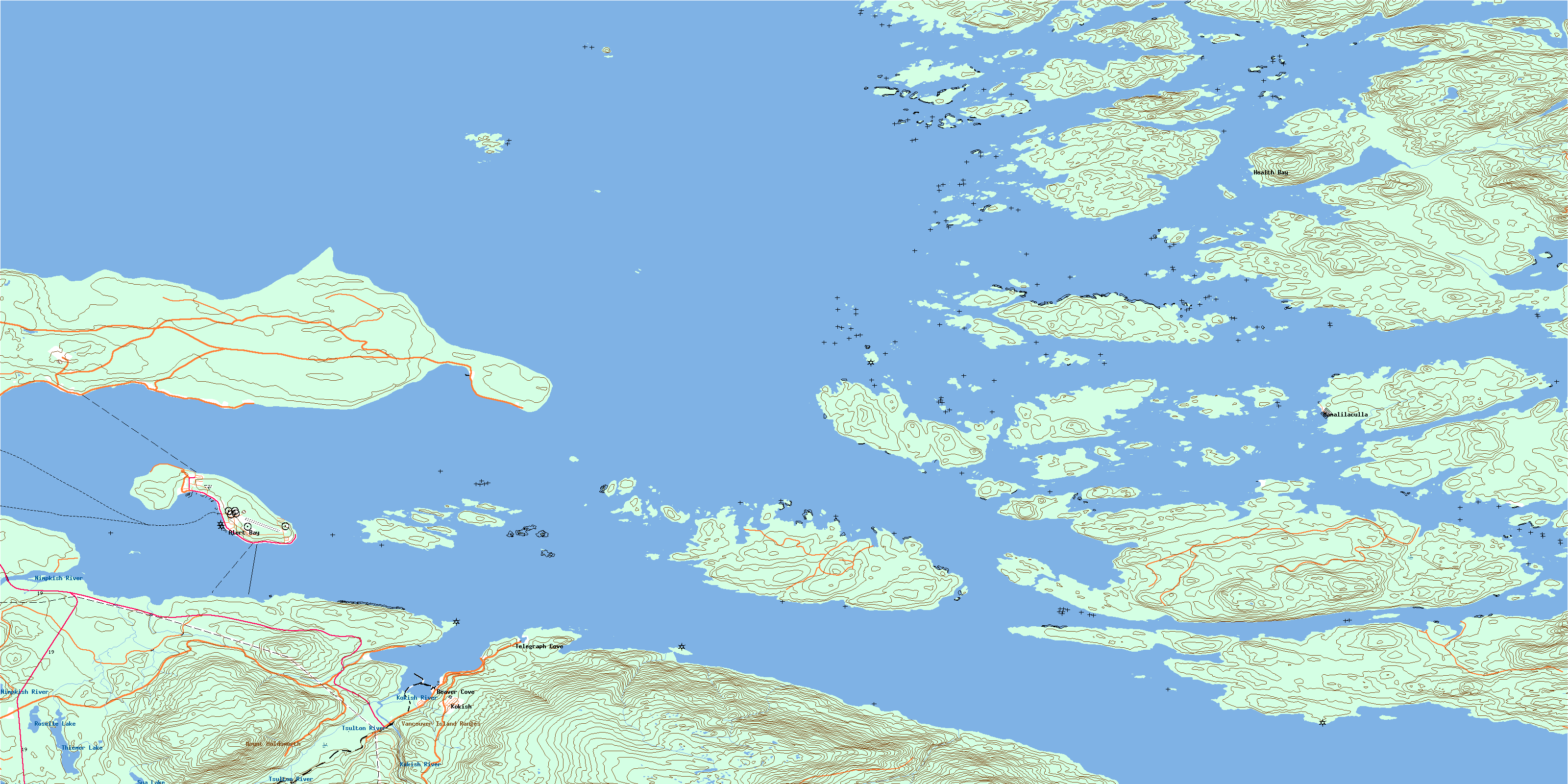
© Department of Natural Resources Canada. All rights reserved.
092L Related Maps:
092L Alert Bay092L01 Schoen Lake
092L02 Woss Lake
092L03 Kyuquot
092L04 Brooks Peninsula
092L05 Mahatta Creek
092L06 Alice Lake
092L07 Nimpkish
092L08 Adam River
092L09 Minstrel Island
092L10 Alert Bay
092L11 Port Mcneill
092L12 Quatsino
092L13 Shushartie
092L14 Bradley Lagoon
092L15 Broughton Island
092L16 Kingcome Inlet
