Port Mcneill Topo Map Online
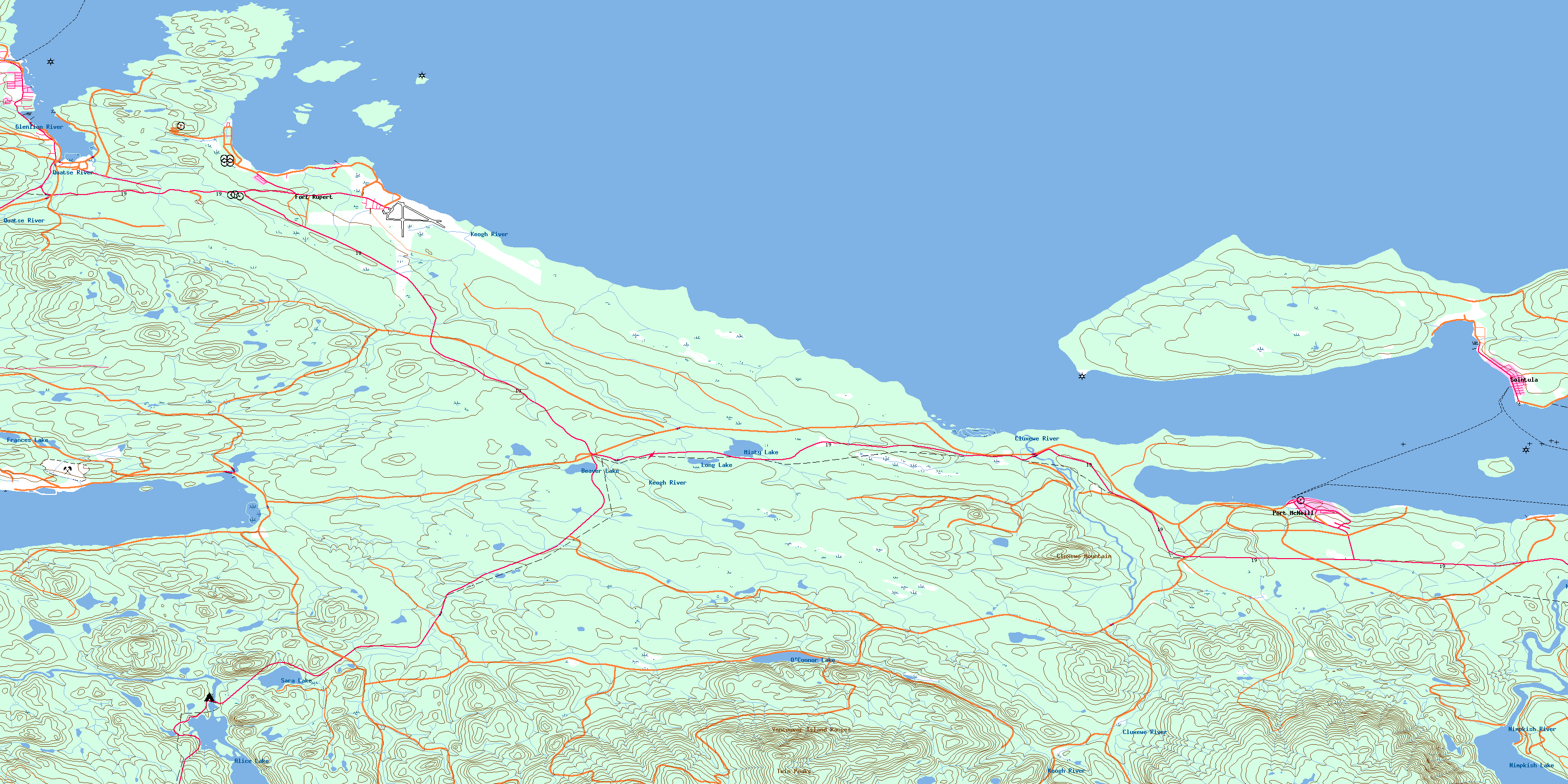
Download Free Topo Map Sheet 092L11 at 1:50,000 scale
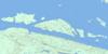
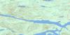
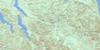
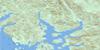
092L11 Port Mcneill Topo Map
To view this map, mouse over the map preview on the right.
You can also download this topo map for free:
092L11 Port Mcneill high-resolution topo map image.
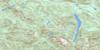
Maps for the Port Mcneill topo map sheet 092L11 at 1:50,000 scale are also available in these versions:
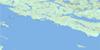
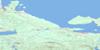
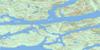
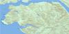
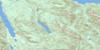
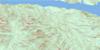
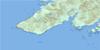
Port Mcneill Surrounding Area Topo Maps
 |
 |
 |
 |
 |
 |
 |
 |
 |
 |
 |
 |
 |
 |
 |
 |
© Department of Natural Resources Canada. All rights reserved.
Port Mcneill Gazetteer
The following places can be found on topographic map sheet 092L11 Port Mcneill:
Port Mcneill Topo Map: Bays
Bear CoveBeaver Harbour
Hardy Bay
Jensen Cove
Patrician Cove
Port McNeil
Port McNeill
Rough Bay
Rupert Inlet
Port Mcneill Topo Map: Capes
Bere PointBroad Point
Daphne Point
Dickenson Point
Dillon Point
False Head
Graeme Point
Lady Ellen Point
Ledge Point
Malcolm Point
Pulteney Point
Single Tree Point
Thomas Point
Port Mcneill Topo Map: Channels
Broughton StraitDaedalus Passage
Haddington Passage
Queen Charlotte Strait
Port Mcneill Topo Map: Cliffs
Deer BluffPort Mcneill Topo Map: District municipality
Port HardyPort Mcneill Topo Map: Indian Reserves
Ar-ce-wy-ee Indian Reserve 4Fort Rupert Indian Reserve 1
Keogh Indian Reserve 6
Kippase Indian Reserve 2
Klickseewy Indian Reserve 7
Malcolm Island Indian Reserve 8
O-tsaw-las Indian Reserve 5
Réserve indienne Ar-ce-wy-ee 4
Réserve indienne Fort Rupert 1
Réserve indienne Keogh 6
Réserve indienne Kippase 2
Réserve indienne Klickseewy 7
Réserve indienne Malcolm Island 8
Réserve indienne O-tsaw-las 5
Réserve indienne Shell Island 3
Réserve indienne Thomas Point 5
Réserve indienne Thomas Point 5A
Réserve indienne Tsulquate 4
Réserve indienne Walden 9
Shell Island Indian Reserve 3
Thomas Point Indian Reserve 5
Thomas Point Indian Reserve 5A
Tsulquate Indian Reserve 4
Walden 9
Walden Indian Reserve 9
Wazulis 14
Port Mcneill Topo Map: Islands
Cattle IslandsCharlie Islands
Deer Island
Eagle Island
Haddington Island
Malcolm Island
Masterman Islands
Narrow Island
Peel Island
Red Island
Round Island
Shell Island
Port Mcneill Topo Map: Lakes
Alice LakeBeard Lake
Beaver Lake
Cunningham Lake
D Lake
Frances Lake
Long Lake
Misty Lake
Nimpkish Lake
O'Connor Lake
Sara Lake
Port Mcneill Topo Map: Mountains
Cluxewe MountainDowney Hills
The Seven Hills
Twin Peaks
Vancouver Island Mountains
Vancouver Island Ranges
Washlawlis Hill
Port Mcneill Topo Map: Major municipal/district area - major agglomerations
Regional District of Mount WaddingtonPort Mcneill Topo Map: Conservation areas
Beaver Harbour ParkLower Nimpkish Park
Port Mcneill Topo Map: Rivers
Beard CreekBoyden Creek
Cluxewe River
Coetkwaus Creek
Cunningham Creek
Dick Booth Creek
Glenlion River
Hyde Creek
Keekuyzed Creek
Keogh River
Marble River
Mills Creek
Moffat Creek
Nimpkish River
Quatse River
Rupert Creek
Suquash Creek
Tsulquate River
Wah-wese Creek
Washlawlis Creek
Waukwaas Creek
Port Mcneill Topo Map: Shoals
Cormorant RockEel Reef
Haddington Reefs
Herald Rock
Kelp Patch
Keogh Shoals
Neill Ledge
Neill Rock
Numas Bank
Twin Rocks
Port Mcneill Topo Map: Towns
Port McNeillPort Mcneill Topo Map: Unincorporated areas
Fort RupertHyde Creek
Nimpkish Heights
Sointula
Suquash
© Department of Natural Resources Canada. All rights reserved.
092L Related Maps:
092L Alert Bay092L01 Schoen Lake
092L02 Woss Lake
092L03 Kyuquot
092L04 Brooks Peninsula
092L05 Mahatta Creek
092L06 Alice Lake
092L07 Nimpkish
092L08 Adam River
092L09 Minstrel Island
092L10 Alert Bay
092L11 Port Mcneill
092L12 Quatsino
092L13 Shushartie
092L14 Bradley Lagoon
092L15 Broughton Island
092L16 Kingcome Inlet
