Shushartie Topo Map Online
Download Free Topo Map Sheet 092L13 at 1:50,000 scale
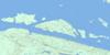
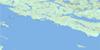
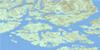
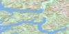
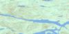
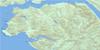
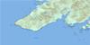
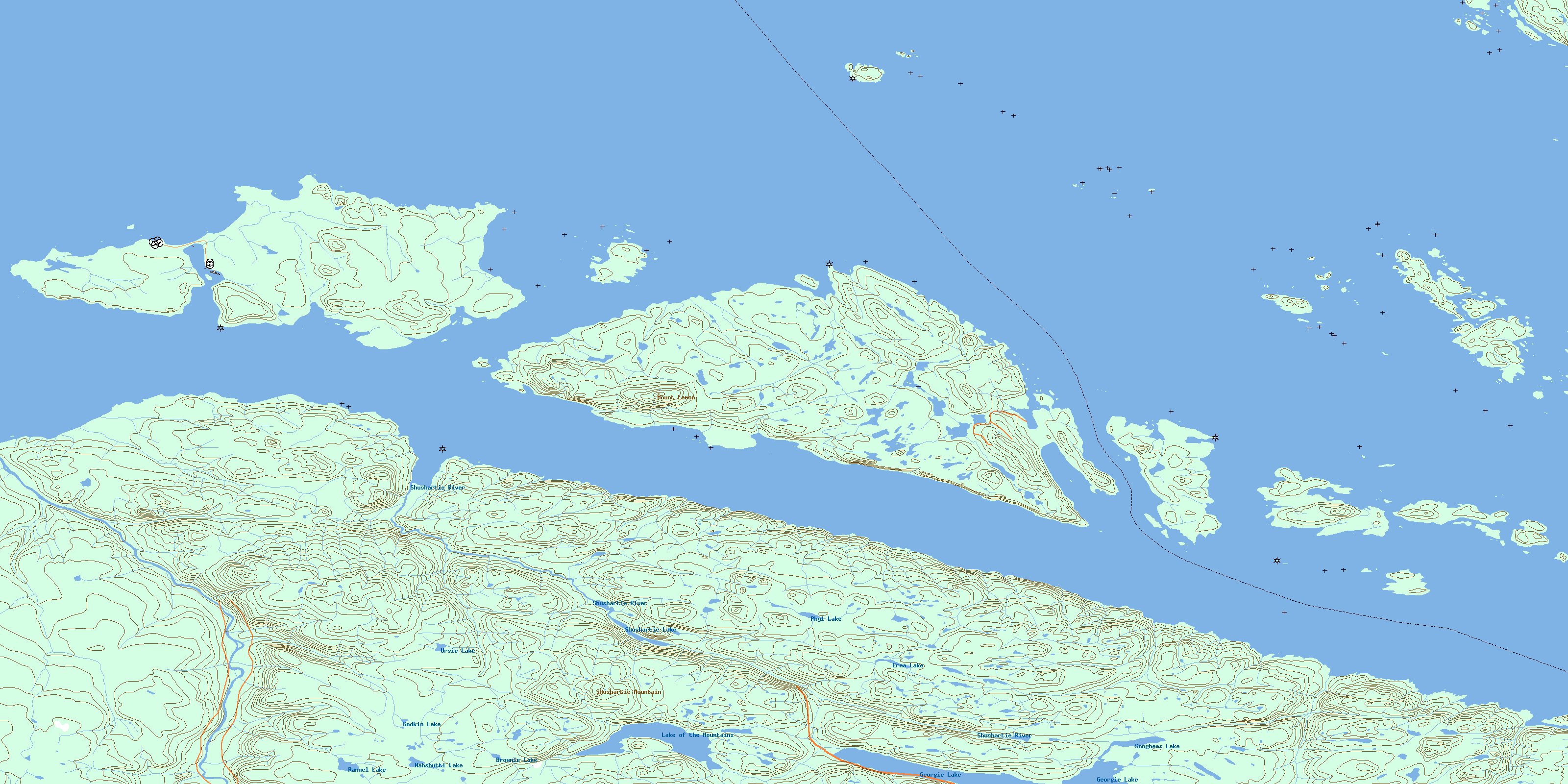
092L13 Shushartie Topo Map
To view this map, mouse over the map preview on the right.
You can also download this topo map for free:
092L13 Shushartie high-resolution topo map image.
Maps for the Shushartie topo map sheet 092L13 at 1:50,000 scale are also available in these versions:
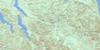
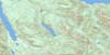
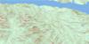
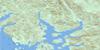
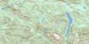
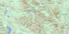
Shushartie Surrounding Area Topo Maps
 |
 |
 |
 |
 |
 |
 |
 |
 |
 |
 |
 |
 |
 |
 |
 |
© Department of Natural Resources Canada. All rights reserved.
Shushartie Gazetteer
The following places can be found on topographic map sheet 092L13 Shushartie:
Shushartie Topo Map: Bays
Bull HarbourCascade Harbour
Harlequin Bay
Loquillilla Cove
Port Alexander
Queen Charlotte Sound
Roller Bay
Shushartie Bay
Shushartie Topo Map: Capes
Ashby PointBoxer Point
Cape James
Cholberg Point
Duval Point
Frankham Point
Godkin Point
Gorotisa Point
Greeting Point
Heath Point
Hougestol Point
Hussar Point
Jepther Point
Jones Point
Lemon Point
Magicienne Point
Mexicana Point
Mier Point
Nahwitti Point
Nolan Point
Pivot Point
Raglan Point
Scarlett Point
Secretary Point
Tommy Point
Shushartie Topo Map: Channels
Bate PassageBolivar Passage
Browning Passage
Christie Passage
Goletas Channel
Gordon Channel
Queen Charlotte Strait
Ripple Passage
Shadwell Passage
Shelter Passage
Shushartie Topo Map: Indian Reserves
Glen-gla-ouch Indian Reserve 5Hope Island Indian Reserve 1
Réserve indienne Glen-gla-ouch 5
Réserve indienne Hope Island 1
Réserve indienne Wakems 6
Wakems Indian Reserve 6
Shushartie Topo Map: Islands
Arm IslandsBalaklava Island
Bell Island
Blyth Islands
Boyle Island
Bright Island
Buckle Group
Centre Islet
Crane Islands
Duncan Island
Duval Island
Flat Island
Fraser Island
Gordon Group
Gordon Islands
Halsted Island
Halsted Islet
Heard Island
Hedley Islands
Herbert Island
Hope Island
Hosford Island
Hurst Island
Île de Vancouver
Jerome Island
Joan Island
Kalect Island
Kent Island
Knight Island
Lucan Islands
Nicholas Islands
Nicholas Islets
Nigei Island
Noble Islands
Noble Islets
Norman Island
One Tree Island
Onetree Islet
Philcox Island
Pine Island
Plover Island
Quoin Island
Race Island
Rason Island
Redfern Island
Saples Island
Shade Island
Slave Island
Southgate Group
Staples Island
Stick Island
Tinson Islands
Torrance Islet
Tree Islets
Vancouver Island
Vansittart Island
Walker Group
Wentworth Island
Wentworth Islet
Willes Island
Shushartie Topo Map: Lakes
Balaklava LakeBrownie Lake
Erma Lake
Georgie Lake
Godkin Lake
Lake of the Mountains
Nahshutti Lake
Phyl Lake
Rannell Lake
Shushartie Lake
Songhees Lake
Ursie Lake
Shushartie Topo Map: Mountains
Meeson ConeMount Lemon
Shushartie Mountain
Shushartie Topo Map: Major municipal/district area - major agglomerations
Regional District of Mount WaddingtonShushartie Topo Map: Conservation areas
God's Pocket Marine ParkShushartie Topo Map: Rivers
Bragg CreekErma Creek
Godkin Creek
Nahshutti Creek
Nahwitti River
Phyl Creek
Rannell Creek
Shushartie River
Skinner Creek
Songhees Creek
Tyllia Creek
Ursie Creek
Shushartie Topo Map: Shoals
Alex RockAlleviation Rock
Annie Rocks
Approach Rock
Barge Rock
Bleach Rock
Breaker Reef
Cardigan Rocks
Croker Rock
Davey Rock
Dillon Rock
Farquhar Bank
George Rock
Hunt Rock
Jane Rock
Malpas Rock
Mouat Rock
Nahwitti Bar
Nye Rock
Prosser Rock
Ragged Rock
Roach Rock
Roller Reef
Scylla Rock
Simpson Rock
Sunken Rock
Sussex Reefs
Suwanee Rock
Tatnall Reefs
Thornton Reef
Tide Rock
Tribune Rock
Wentworth Rock
Shushartie Topo Map: Unincorporated areas
Bull HarbourShushartie
Shushartie Bay
Shushartie Topo Map: Valleys
Magin SaddleShushartie Saddle
© Department of Natural Resources Canada. All rights reserved.
092L Related Maps:
092L Alert Bay092L01 Schoen Lake
092L02 Woss Lake
092L03 Kyuquot
092L04 Brooks Peninsula
092L05 Mahatta Creek
092L06 Alice Lake
092L07 Nimpkish
092L08 Adam River
092L09 Minstrel Island
092L10 Alert Bay
092L11 Port Mcneill
092L12 Quatsino
092L13 Shushartie
092L14 Bradley Lagoon
092L15 Broughton Island
092L16 Kingcome Inlet
