Walkerton Satellite Image Map
Download Free Aerial Photo 041A03 at 1:50,000 scale
Walkerton Satellite Imagery
To view this satellite map, mouse over the air photo on the right.
You can also download this satellite image map for free:
041A03 Walkerton high-resolution satellite image map.
Maps for the Walkerton aerial map sheet 041A03 at 1:50,000 scale are also available in these versions:
Walkerton Surrounding Area Aerial Photo Maps
 |
 |
 |
|
 |
 |
 |
|
 |
 |
 |
 |
 |
 |
 |
 |
© Department of Natural Resources Canada. All rights reserved.
Walkerton Gazetteer
The following places can be found on satellite image map 041A03 Walkerton:
Walkerton Satellite Image: Geographical areas
BentinckBrant
Bruce
Bruce
Carrick
Culross
Greenock
Grey
Huron
Kincardine
Kinloss
Normanby
Walkerton Satellite Image: Hydraulic construction
Ackert DrainWalkerton Satellite Image: Lakes
Barry LakeBester Lake
Cargill Mill Pond
Clam Lake
Cunningham Lake
Dankert Lake
Gordon Lake
Habermehl Lake
Hamel's Pond
Hayes Lake
Hodgins Lake
Lake Rosalind
Marl Lake
Marl Lakes
Marl Lakes
McFarlane Lake
McGlinn Lake
Metzger Pond
Meyer Lake
Mullin's Mill Pond
Otter Lake
Pearl Lake
Plum Lake
Ruhl Lake
Schmidt Lake
Silver Lake
Statters Lake
Westfall's Lake
Witter's Pond
Walkerton Satellite Image: Mountains
Douglas HillWalkerton Satellite Image: Major municipal/district area - major agglomerations
BruceGrey
Walkerton Satellite Image: Other municipal/district area - miscellaneous
BentinckBentinck
Brant
Brockton
Bruce
Carrick
Culross
Glenelg
Greenock
Huron
Huron-Kinloss
Kincardine
Kincardine
Kincardine-Bruce-Tiverton
Kinloss
Mildmay-Carrick
Normanby
South Bruce
Teeswater-Culross
West Grey
Walkerton Satellite Image: Rivers
Allens CreekAndrews Creek
Beatty Saugeen River
Carrick Creek
Deer Creek
Eighteen Mile River
Formosa Creek
Greenock Creek
Habermehl Creek
Kincardine Creek
Kinlough Creek
Marl Creek
Meux Creek
North Penetangore River
Otter Creek
Pearl Creek
Penetangore River
Pine River
Plum Creek
Royal Oak Creek
Ruhl Creek
Saugeen River
Schmidt Creek
Silver Creek
South Pine River
South Saugeen River
Teeswater River
Tiverton Creek
Willow Creek
Walkerton Satellite Image: Towns
HanoverWalkerton Satellite Image: Unincorporated areas
AmblesideBervie
Bradley
Cargill
Cargill Siding
Carlsruhe
Chepstow
Deemerton
Dunkeld
Eden Grove
Elmwood
Eskdale
Formosa
Glammis
Greenock
Habermehl
Holyrood
Kingarf
Kinloss
Kinlough
Lake Rosalind
Little Egypt
Malcolm
Maple Hill
Mildmay
Moltke
Narva
Neustadt
Otter Creek
Pearl Lake
Pinkerton
Pinkerton Station
Portal
Riversdale
Salem
Teeswater
Walkerton
Westford
Walkerton Satellite Image: Low vegetation
Greenock Swamp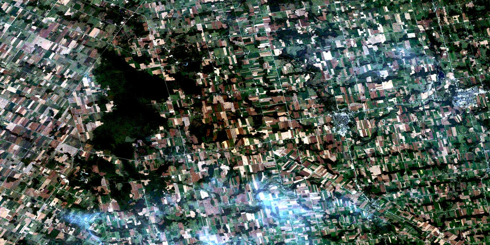
© Department of Natural Resources Canada. All rights reserved.
