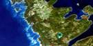
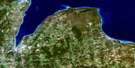
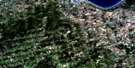
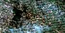
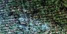
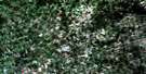
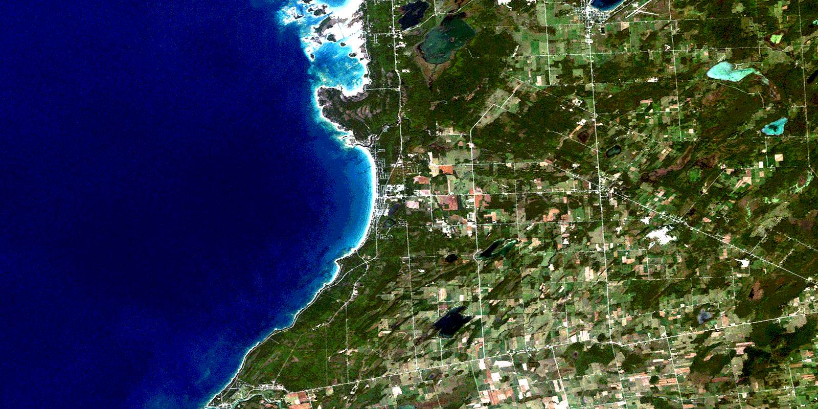
Wiarton Satellite Image Map
Download Free Aerial Photo 041A11 at 1:50,000 scale
Wiarton Satellite Imagery
To view this satellite map, mouse over the air photo on the right.
You can also download this satellite image map for free:
041A11 Wiarton high-resolution satellite image map.
Maps for the Wiarton aerial map sheet 041A11 at 1:50,000 scale are also available in these versions:
Wiarton Surrounding Area Aerial Photo Maps
 |
 |
 |
|
 |
 |
 |
|
 |
 |
 |
 |
 |
 |
 |
 |
© Department of Natural Resources Canada. All rights reserved.
Wiarton Gazetteer
The following places can be found on satellite image map 041A11 Wiarton:
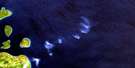
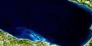
Wiarton Satellite Image: Bays
Chiefs Point BayColpoy Bay
Colpoys Bay
Colpoy's Bay
Frenchman Bay
Jordan Bay
Regatta Bay
Wiarton Satellite Image: Beaches
Sauble BeachWiarton Satellite Image: Capes
Bruce PeninsulaChiefs Point
Frenchman Point
Hawks Nest Point
Preacher's Point
Rutherford Point
Sylvan Point
Wiarton Satellite Image: Channels
Smokehouse ChannelWiarton Satellite Image: Falls
Sauble FallsWiarton Satellite Image: Geographical areas
AmabelArran
Bruce
Derby
Grey
Keppel
Saugeen
Wiarton Satellite Image: Indian Reserves
Chief's Point 28Chief's Point Indian Reserve 28
Réserve indienne Chief's Point 28
Réserve indienne Saugeen 29
Réserve indienne Saugeen and Cape Croker Fishing Islands 1
Saugeen 29
Saugeen and Cape Croker Fishing Islands Indian Reserve 1
Saugeen Indian Reserve 29
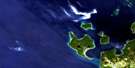
Wiarton Satellite Image: Islands
Bowes IslandCigar Island
Cranberry Island
Cranberry Island
Cranberry Island
Cranberry Island
Fishing Islands
Frog Island
Indian Island
Indian Island
Jack Island
Kid Island
Lonely Island
Main Station Island
Montrose Island
Oar Island
Rabbit Island
Rock Haven Island
Rock Island
Rowan's Island
Rowdy Island
Rownes Island
Scotch Bonnet Island
Smokehouse Island
Sunset Island
The Jacks
Twin Island
Vimy Island
Whiskey Island
Whisky Island
Whitefish Island
Wildman's Island
Wiarton Satellite Image: Lakes
Arran LakeBass Lake
Boat Lake
Carson Lake
Chesley Lake
Francis Lake
Gould Lake
Lac Huron
Lake Huron
Manchester Lake
Mary Lake
Maryville Lake
McNab Lake
McNab Ponds
Mountain Lake
Mud Lake
Scale Lake
Shallow Lake
Shepherd Lake
Silver Lake
Spry Lake
Town Line Lake
Wiarton Satellite Image: Major municipal/district area - major agglomerations
BruceGrey
Wiarton Satellite Image: Other municipal/district area - miscellaneous
AlbemarleAmabel
Arran
Arran-Elderslie
Derby
Elderslie
Georgian Bluffs
Keppel
Sarawak
Saugeen
Wiarton Satellite Image: Conservation areas
Sauble Falls Provincial ParkWiarton Satellite Image: Rivers
Arkwright CreekCashore Creek
Clavering Creek
Davidson Creek
Gleason Brook
Hepworth Creek
Indian Channel
Main Station Channel
Park Head Creek
Pottawatomi River
Rankin River
Sable River
Sauble River
Saugeen River
Spring Creek
Stoney Creek
Wiarton Satellite Image: Shoals
Chantry ShoalLambert Shoal
Lee Bank
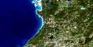
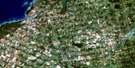
Wiarton Satellite Image: Towns
Saugeen ShoresSouth Bruce Peninsula
Wiarton Satellite Image: Unincorporated areas
AllenfordAlvanley
Chippawa Hill
Clavering
Copperkettle
Cruickshank
Elsinore
Hepworth
Jackson
Kilsyth
Oliphant
Park Head
Sauble Beach
Sauble Beach North
Sauble Beach South
Sauble Falls
Scotch Settlement
Shallow Lake
Shouldice
Skipness
Southampton
Tolmie
Wiarton
Wolseley
Zion
Wiarton Satellite Image: Low vegetation
Playford FlatsSkinner's Marsh
The Long Swamp
© Department of Natural Resources Canada. All rights reserved.
