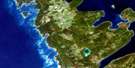
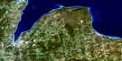
Cape Croker Satellite Image Map
Download Free Aerial Photo 041A14 at 1:50,000 scale
Cape Croker Satellite Imagery
To view this satellite map, mouse over the air photo on the right.
You can also download this satellite image map for free:
041A14 Cape Croker high-resolution satellite image map.
Maps for the Cape Croker aerial map sheet 041A14 at 1:50,000 scale are also available in these versions:
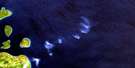
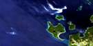
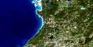
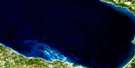
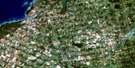
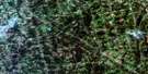
Cape Croker Surrounding Area Aerial Photo Maps
 |
 |
 |
|
 |
 |
 |
|
 |
 |
 |
 |
 |
 |
 |
 |
© Department of Natural Resources Canada. All rights reserved.
Cape Croker Gazetteer
The following places can be found on satellite image map 041A14 Cape Croker:
Cape Croker Satellite Image: Bays
Baie GeorgienneBarrow Bay
Boat Harbour
Colpoy Bay
Colpoys Bay
Colpoy's Bay
Cove of Cork Bay
Crab Cove
Gauley Bay
Georgian Bay
Gravelly Bay
Greenough Harbour
Hope Bay
Howdenvale Bay
Irish Harbour
Isthmus Bay
Jackson Cove
Jackson's Cove
Lionhead Harbour
Lion's Head Harbour
Little Pike Bay
Little Red Bay
Look About Bay
MacGregor Harbour
Melville Sound
Myles Bay
North Bay
Pike Bay
Purgatory Cove
Red Bay
Rush Cove
Shoal Cove
Simon Bay
Stokes Bay
Sydney Bay
Whiskey Harbour
Cape Croker Satellite Image: Beaches
Mallory BeachCape Croker Satellite Image: Capes
Bartley PointBenjamin's Point
Bruce Peninsula
Cape Dundas
Cape Paulett
Ferguson Point
Gravelly Point
Greenough Point
Gun Point
Harbour Point
Indian Point
Kings Point
Little Pike Point
McMaster Point
Montresor Point
Partridge Point
Petrel Point
Pike Point
Pine Tree Point
Prairie Point
Purgatory Point
Reid Point
Rocky Point
Shute Point
Simon Point
St. Jean Point
Stony Point
Cape Croker Satellite Image: Cliffs
Geeshkaupikauhnssing CliffJones Bluff
Kings Point Bluff
Village Cliff
Cape Croker Satellite Image: Forests
Sydney Bay BluffCape Croker Satellite Image: Geographical areas
AlbemarleAmabel
Bruce
Eastnor
Keppel
Lindsay
Cape Croker Satellite Image: Hydraulic construction
Angle DitchSwan Lake Drain
Cape Croker Satellite Image: Indian Reserves
Cape Croker Indian Reserve 27Neyaashiinigmiing
Neyaashiinigmiing Indian Reserve 27
Réserve indienne Cape Croker 27
Réserve indienne Neyaashiinigmiing 27
Réserve indienne Saugeen and Cape Croker Fishing Islands 1
Saugeen and Cape Croker Fishing Islands Indian Reserve 1
Cape Croker Satellite Image: Islands
Argyle IslandsBarrier Island
Basswood Island
Beament Island
Burke Island
Cavalier Island
Dane Island
Deadman's Island
Evelyn Island
Fishing Islands
Garden Island
Ghegheto Island
Golden Island
Knife Islands
Kolfage Island
Ladder Islands
Little Haystack Island
Lyal Island
Main Station Island
McCallum Island
North Star Island
Old Woman Island
Parker Island
Rush Island
Saxon Island
Sunset Island
Tamarack Island
Tyson Island
Warren Island
Cape Croker Satellite Image: Lakes
Beattie LakeBerford Lake
Big Mud Lake
Charles Lake
Gleason Lake
Hodgins Lake
Isaac Lake
Lac Huron
Lake Charles
Lake Huron
Little Lake
Little Lake
Little Mud Lake
Lucky Lake
Mud Lake
North Hodgins Lake
Patterson Lake
Rowes Lake
Sky Lake
West Little Lake
Cape Croker Satellite Image: Marine navigation features
Bull's LandingCape Croker Satellite Image: Mountains
Astrop's HillBannister's Hill
Coveney's Hill
Malcolm Bluff
Skinner Bluff
Skinner's Bluff
Cape Croker Satellite Image: Major municipal/district area - major agglomerations
BruceGrey
Cape Croker Satellite Image: Other municipal/district area - miscellaneous
AlbemarleAmabel
Derby
Eastnor
Georgian Bluffs
Keppel
Lindsay
Northern Bruce Peninsula
Sarawak
St. Edmunds
Cape Croker Satellite Image: Conservation areas
Black Creek Provincial ParkHope Bay Forest Provincial Nature Reserve
Lions Head Provincial Nature Reserve
Cape Croker Satellite Image: Rivers
Albemarle BrookBlack Creek
Colpoy's Creek
Gleason Brook
Judges Creek
Old Woman River
Old Woman's River
Rankin River
Stokes River
Sucker Creek
Cape Croker Satellite Image: Shoals
Barrett ReefChimney Reefs
Cornet Ground
Corsair Reef
Corsdu Reef
Drake Shoal
Frolic Reef
Greenough Bank
Gundersen Shoal
Harrison Shoal
Hattie Rock
Lamorandiere Bank
Lincoln Shoal
Lyal Reef
Mad Reef
Milton Bank
Murton Reef
Port Elgin Shoal
Ripple Reef
Saturn Rock
Scout Reef
Seashell Rock
Wanderer Shoal
Wells Shoal
Cape Croker Satellite Image: Towns
South Bruce PeninsulaCape Croker Satellite Image: Unincorporated areas
AdamsvilleBarrow Bay
Cape Croker
Centreville
Clay Hills
Colpoy Bay
Colpoys Bay
Colpoy's Bay
Edenhurst
Ferndale
Halfway Point
Hope Bay
Hopeness
Howdenvale
Lake Charles
Lion's Head
Little Port Elgin
Mar
McIver
Nayausheeng
Old Woman's River
Omeedjilawh Camp
Oxenden
Parker Landing
Pike Bay
Purple Valley
Red Bay
Spry
Stokes Bay
The Corra
Wiarton
Cape Croker Satellite Image: Valleys
Golden ValleyCape Croker Satellite Image: Low vegetation
Eastnor SwampThe Little Prairie
The Prairie
Cape Croker Satellite Image: Villages
Lionhead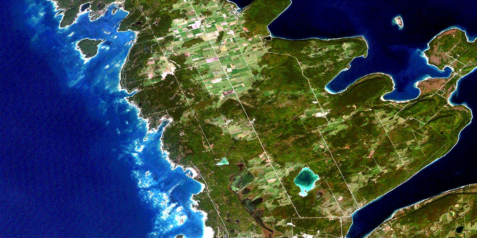
© Department of Natural Resources Canada. All rights reserved.
