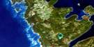
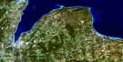
Chesley Satellite Image Map
Download Free Aerial Photo 041A06 at 1:50,000 scale
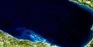
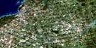
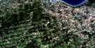
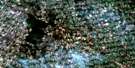
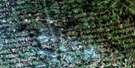
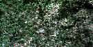
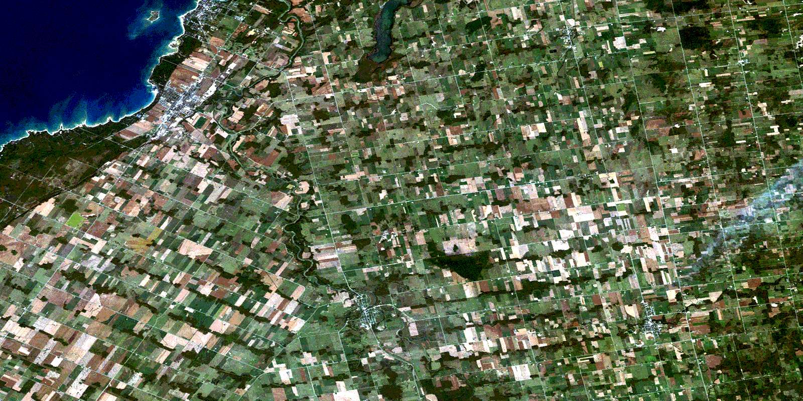
Chesley Satellite Imagery
To view this satellite map, mouse over the air photo on the right.
You can also download this satellite image map for free:
041A06 Chesley high-resolution satellite image map.
Maps for the Chesley aerial map sheet 041A06 at 1:50,000 scale are also available in these versions:
Chesley Surrounding Area Aerial Photo Maps
 |
 |
 |
|
 |
 |
 |
|
 |
 |
 |
 |
 |
 |
 |
 |
© Department of Natural Resources Canada. All rights reserved.
Chesley Gazetteer
The following places can be found on satellite image map 041A06 Chesley:
Chesley Satellite Image: Bays
Horseshoe BayMiramichi Bay
Chesley Satellite Image: Beaches
Gobles Grove BeachQueen's Bush Beach
Saugeen Beach
Chesley Satellite Image: Capes
Dack SpitMacGregor Point
McNab Point
Chesley Satellite Image: Geographical areas
ArranBentinck
Brant
Bruce
Bruce
Derby
Elderslie
Greenock
Grey
Kincardine
Saugeen
Sullivan
Chesley Satellite Image: Islands
Chantry IslandChesley Satellite Image: Lakes
Arran LakeLac Huron
Lake Huron
Chesley Satellite Image: Major municipal/district area - major agglomerations
BruceGrey
Chesley Satellite Image: Other municipal/district area - miscellaneous
ArranArran-Elderslie
Bentinck
Brant
Brockton
Bruce
Chatsworth
Derby
Elderslie
Georgian Bluffs
Glenelg
Greenock
Holland
Keppel
Kincardine
Kincardine
Kincardine-Bruce-Tiverton
Normanby
Sarawak
Saugeen
Sullivan
West Grey
Chesley Satellite Image: Conservation areas
Chantry Island Bird SanctuaryMacGregor Point Provincial Park
Refuge d'oiseaux de l'Île Chantry
Chesley Satellite Image: Rivers
Arkwright CreekBurgoyne Creek
Deer Creek
Grimston Creek
Keady Creek
Little Mill Creek
Little Sauble River
Mill Creek
North Saugeen River
Pearl Creek
Sable River
Sauble River
Saugeen River
Snake Creek
Tara Creek
Teeswater River
Tiverton Creek
Underwood Creek
Vesta Creek
Willow Creek
Chesley Satellite Image: Shoals
Belcher ReefBoyer Reef
Chantry Shoal
Fleming Reefs
Logie Rock
Malcolm Reef
Chesley Satellite Image: Towns
Saugeen ShoresChesley Satellite Image: Unincorporated areas
ArkwrightArranvale
Burgoyne
Chesley
Cluny
Dobbinton
Dumblane
Dunblane
Ellengowan
Gillies Hill
Gresham
Grimston
Invermay
Keady
Lockerby
Lovat
Marmion
Mount Hope
North Bruce
Paisley
Peabody
Port Elgin
Queen Hill
Salem
Salisbury
Scone
Southampton
Tara
Tara Siding
Turners
Underwood
Vesta
Williscroft
Willow Creek
© Department of Natural Resources Canada. All rights reserved.
