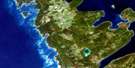
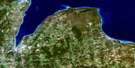
Nottawasaga Bay Satellite Image Map
Download Free Aerial Photo 041A09 at 1:50,000 scale
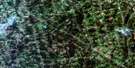
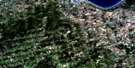
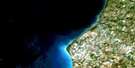
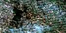
Nottawasaga Bay Satellite Imagery
To view this satellite map, mouse over the air photo on the right.
You can also download this satellite image map for free:
041A09 Nottawasaga Bay high-resolution satellite image map.
Maps for the Nottawasaga Bay aerial map sheet 041A09 at 1:50,000 scale are also available in these versions:
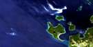
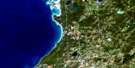
Nottawasaga Bay Surrounding Area Aerial Photo Maps
 |
 |
 |
|
 |
 |
 |
|
 |
 |
 |
 |
 |
 |
 |
 |
© Department of Natural Resources Canada. All rights reserved.
Nottawasaga Bay Gazetteer
The following places can be found on satellite image map 041A09 Nottawasaga Bay:
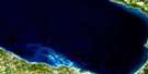
Nottawasaga Bay Satellite Image: Bays
Baie GeorgienneCollingwood Harbour
Dow Bay
East Black Bass Bay
Georgian Bay
Grandolph Bay
Lora Bay
Nottawasaga Bay
West Black Bass Bay
White's Bay
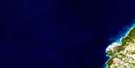
Nottawasaga Bay Satellite Image: Beaches
Cawaja BeachNottawaga Beach
Rowntree Beach
Tiny Beach
Wasaga Beach
Nottawasaga Bay Satellite Image: Capes
Beacon Glow PointDelphi Point
Dominion Island
Fisherman Point
Gidley Point
Long Point
Maurice Point
Penfold Spit
Pigeon Point
Spratt Point
Sunset Point
The Point
Nottawasaga Bay Satellite Image: Geographical areas
CollingwoodEuphrasia
Flos
Grey
Nottawasaga
Simcoe
Sunnidale
Tiny
Nottawasaga Bay Satellite Image: Islands
Gull IslandHen and Chicken Island
Hen Island
Nancy Island
Nottawasaga Island
Snake Island
Tiny Island
Tower Island
Nottawasaga Bay Satellite Image: Lakes
Cranberry LakeLake Huron
Mill Pond
Nottawasaga Bay Satellite Image: Mountains
Blue MountainsNottawasaga Bay Satellite Image: Major municipal/district area - major agglomerations
GreySimcoe
Nottawasaga Bay Satellite Image: Other municipal/district area - miscellaneous
ArtemesiaClearview
Collingwood
Euphrasia
Flos
Grey Highlands
Nottawasaga
Osprey
Springwater
Tiny
Vespra
Nottawasaga Bay Satellite Image: Conservation areas
Craigleith Provincial ParkWasaga Beach Provincial Park
Nottawasaga Bay Satellite Image: Rivers
Beaver RiverBlack Ash Creek
Grier Creek
Indian Brook
Little Beaver Creek
Nottawasaga River
Pretty River
Silver Creek
Sturgeon Creek
Sturgeon Creek
Nottawasaga Bay Satellite Image: Shoals
Aylesworth RockBegg Reef
Birnie Bank
Cameron Reef
Chick Rock
Collins Reef
Dalton Reef
East Bank
Elihu Reef
Fisherman Shoal
Frank Reef
Gamon Rock
George Rock
Guilfoyle Reef
Hiawatha Bank
Holland Rock
Kirkby Bank
Knight Bank
Laffertys Home
Little Giant Patch
Lockerbie Rock
Mary Ward Ledges
Matilda Bank
McCarthy Rock
Moberly Patch
New Bank
Northwest Tongue
O'Brien Rocks
Olga Bank
Rowland Bank
Sandford Ground
Simcoe Bank
Sophia Ledge
Stephen Ground
Stewart Patch
The Elbow
The Ridge
Thomas Long Shoal
Watts Knoll
Wheeler Bank
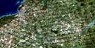
Nottawasaga Bay Satellite Image: Towns
Blue MountainsCollingwood
Wasaga Beach
Nottawasaga Bay Satellite Image: Unincorporated areas
Ardmore BeachBalm Beach
Belle-eau-Claire Beach
Camperdown
Cawaja Beach
Clarksburg
Cove Beach
Craigleith
Edmore Beach
Georgian Heights
Georgian Sands Beach
Ishpiming Beach
Lafontaine Beach
Loree
New Wasaga Beach
Oakview Beach
Sand Castle Beach
Thornbury
Victoria Corners
Wahnekewaning Beach
Woodland Beach
Nottawasaga Bay Satellite Image: Valleys
Beaver Valley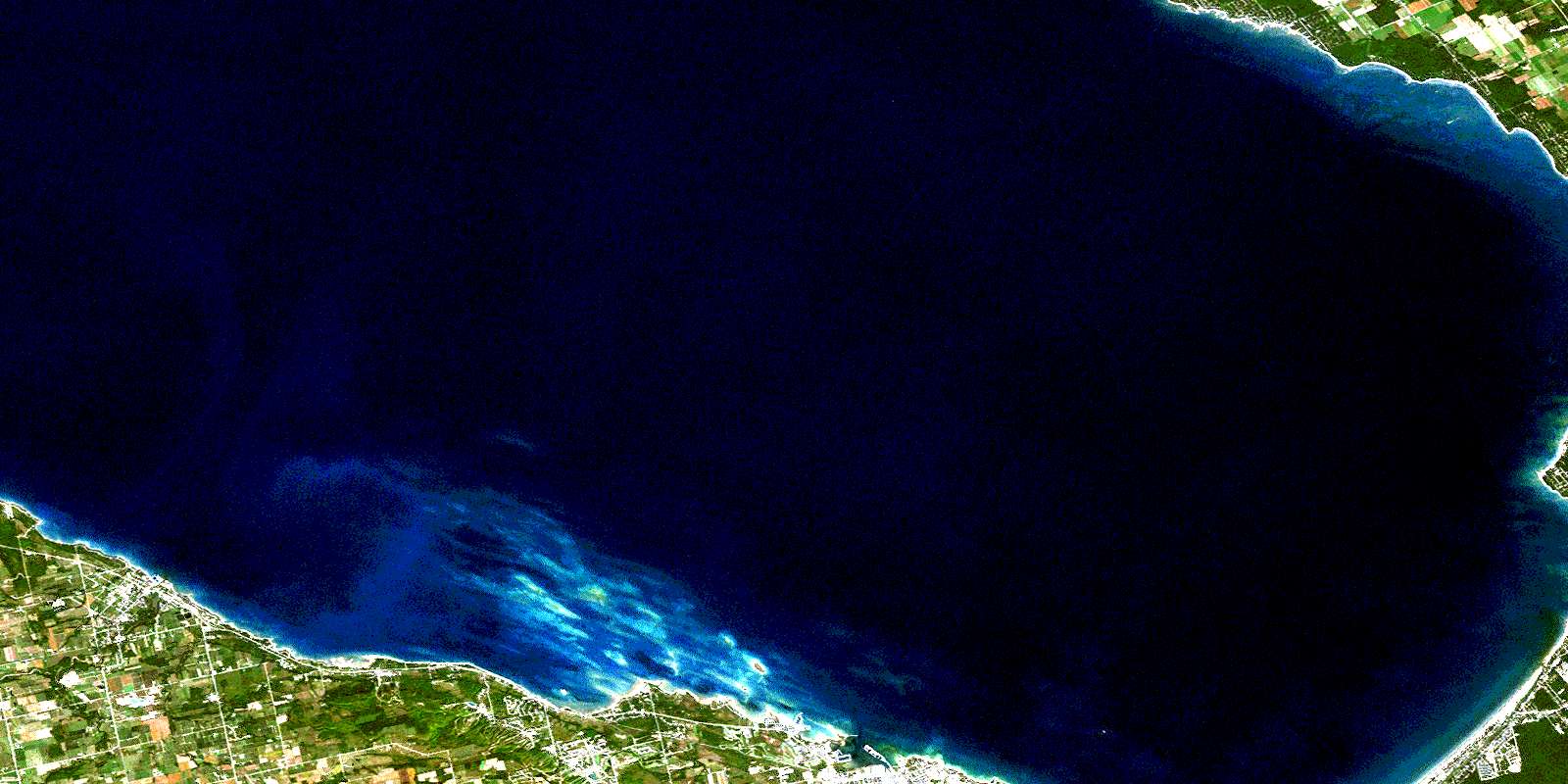
© Department of Natural Resources Canada. All rights reserved.
