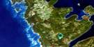
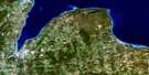
Markdale Satellite Image Map
Download Free Aerial Photo 041A07 at 1:50,000 scale
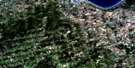
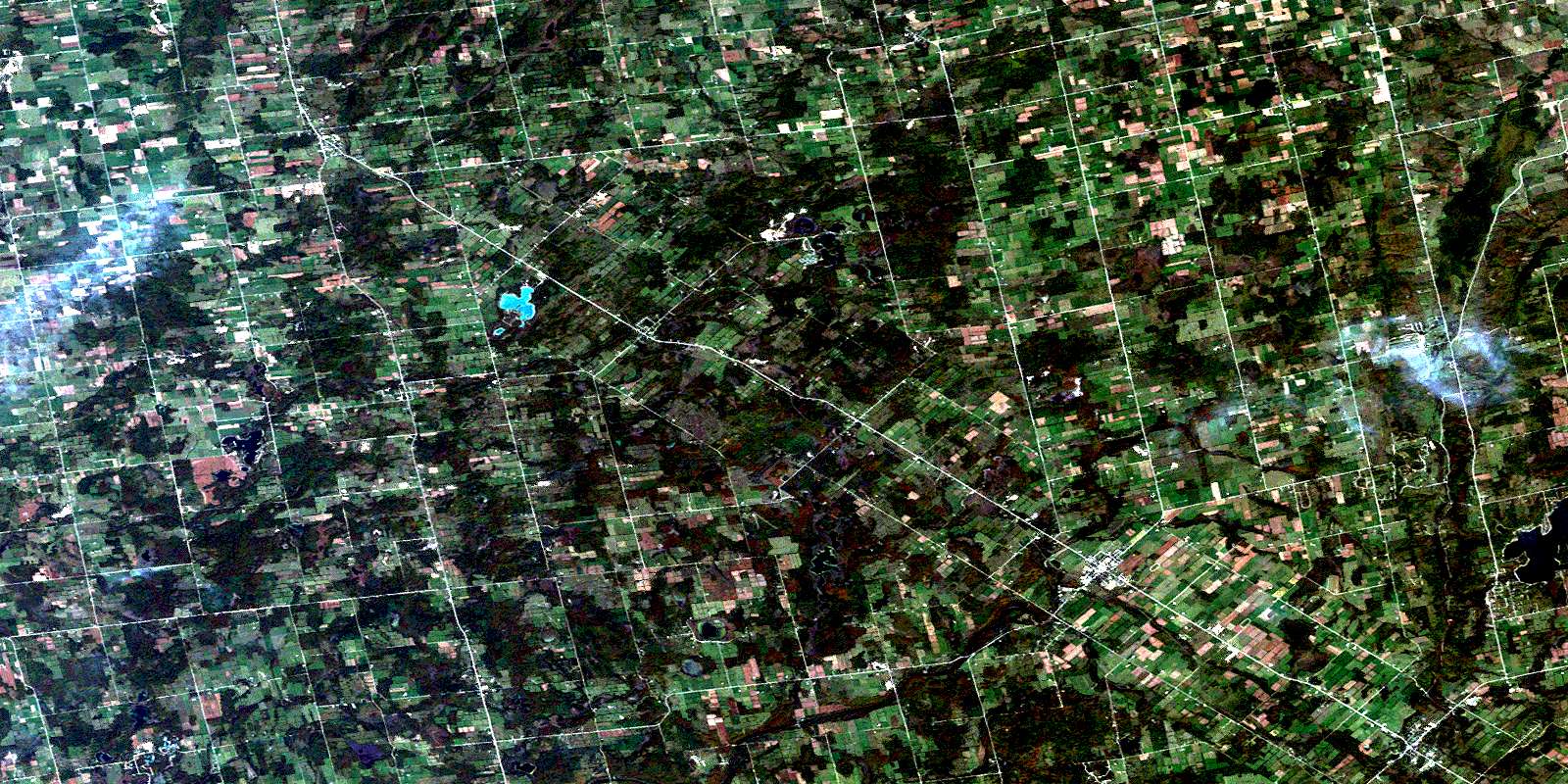
Markdale Satellite Imagery
To view this satellite map, mouse over the air photo on the right.
You can also download this satellite image map for free:
041A07 Markdale high-resolution satellite image map.
Maps for the Markdale aerial map sheet 041A07 at 1:50,000 scale are also available in these versions:
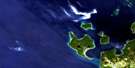
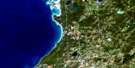
Markdale Surrounding Area Aerial Photo Maps
 |
 |
 |
|
 |
 |
 |
|
 |
 |
 |
 |
 |
 |
 |
 |
© Department of Natural Resources Canada. All rights reserved.
Markdale Gazetteer
The following places can be found on satellite image map 041A07 Markdale:
Markdale Satellite Image: Bays
West Arm Rocky Saugeen RiverMarkdale Satellite Image: Capes
Plant's PointMarkdale Satellite Image: Falls
Eugenia FallsWalters Falls
Markdale Satellite Image: Geographical areas
ArtemesiaBentinck
Derby
Euphrasia
Glenelg
Grey
Holland
St. Vincent
Sullivan
Sydenham
Markdale Satellite Image: Lakes
Anderson LakeBarrhead Mill Pond
Bells Lake
Binns Lake
Black's Lake
Bluewater Lakes
Boyd Lake
Brotske Lake
Clarke's Lake
Connell's Lake
Copps Lake
Curleys Lake
Duncan Lake
Eugenia Lake
Farden Lake
Flesherton Community Pond
Harrison Lake
Hines Lake
Irish Lake
Louise Lake
Marshall's Lake
McCullough Lake
McGill Lake
Minkes Lake
Mountain Lake
Mud Lake
Mud Lake
Mud Lake North
Negro Lakes
North Louise Lake
Robson Lake
Robson Lakes
Robson Lakes
Robson Lakes
Robson Lakes
Robson Lakes
Sargents Lake
Stewart Lakes
Sunken Lake
Tobermory Lake
Town Pond
Townsend Lake
Walker Lake
Welbeck Mill Pond
Williams Lake
Young's Lake
Markdale Satellite Image: Mountains
Bowles HillMount Pleasant
Old Baldy
The Klondike
Markdale Satellite Image: Major municipal/district area - major agglomerations
GreyMarkdale Satellite Image: Other municipal/district area - miscellaneous
ArtemesiaBentinck
Chatsworth
Derby
Euphrasia
Georgian Bluffs
Glenelg
Grey Highlands
Holland
Keppel
Normanby
Osprey
Sarawak
St. Vincent
Sullivan
Sydenham
West Grey
Markdale Satellite Image: Rivers
Armstrong CreekBarhead Creek
Barrhead Creek
Beaver River
Bighead River
Bill's Creek
Blacks Creek
Black's Creek
Boyne River
Congers Creek
Deer Creek
Flesherton Creek
Hamilton Creek
Johnston's Creek
Louise Creek
McKechnie Creek
Middleton Creek
Mountain Creek
Negro Creek
North Saugeen River
North Spey River
Rocklyn Creek
Rocky Saugeen River
Sable River
Sauble River
Spey River
Styx River
Sydenham River
Traverston Creek
Walters Creek
Wodehouse Creek
Markdale Satellite Image: Shoals
Kimberley RockMcCluskey's Rock
Markdale Satellite Image: Towns
Georgian HighlandsMeaford
Markdale Satellite Image: Unincorporated areas
ArnottBarhead
Barrhead
Beaver Valley
Beaverdale
Bentinck
Berkeley
Blantyre
Chatsworth
Crawford
Desboro
Dornoch
Epping
Eugenia
Fairmount
Flesherton
Glascott
Goring
Harkaway
Hemstock Mills
Holford
Holland Centre
Hutchisons Corners
Irish Lake
Keward
Kimberley
Kinghurst
Lauriston
Lily Oak
Louise
Lueck Mill
Markdale
Massie
Mooresburg
Rock Mills
Rocklyn
Strathavon
Sullivan Mills
Temple Hill
Traverston
Vandeleur
Walters Falls
Wandby
Waudby
Welbeck
Williamsford
Wodehouse
Markdale Satellite Image: Valleys
Beaver ValleyBowles Gully
Cuckoo Valley
Kimberley Valley
Markdale Satellite Image: Low vegetation
Beaverdale MarshRocklyn Swamp
The Sinkhole
Wodehouse Marsh
© Department of Natural Resources Canada. All rights reserved.
