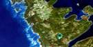
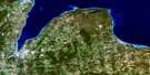
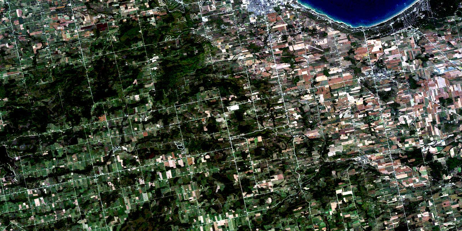
Collingwood Satellite Image Map
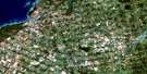
Download Free Aerial Photo 041A08 at 1:50,000 scale
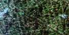
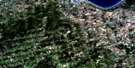
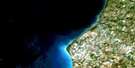
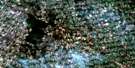
Collingwood Satellite Imagery
To view this satellite map, mouse over the air photo on the right.
You can also download this satellite image map for free:
041A08 Collingwood high-resolution satellite image map.
Maps for the Collingwood aerial map sheet 041A08 at 1:50,000 scale are also available in these versions:
Collingwood Surrounding Area Aerial Photo Maps
 |
 |
 |
|
 |
 |
 |
|
 |
 |
 |
 |
 |
 |
 |
 |
© Department of Natural Resources Canada. All rights reserved.
Collingwood Gazetteer
The following places can be found on satellite image map 041A08 Collingwood:
Collingwood Satellite Image: Bays
Back BayBaie Georgienne
Georgian Bay
Nottawasaga Bay
Collingwood Satellite Image: Beaches
Wasaga BeachCollingwood Satellite Image: Caves
The CavesCollingwood Satellite Image: Falls
Lavender FallsCollingwood Satellite Image: Geographical areas
ArtemesiaCollingwood
Dufferin
Euphrasia
Grey
Melancthon
Mulmur
Nottawasaga
Osprey
Simcoe
Sunnidale
Tosorontio
Collingwood Satellite Image: Islands
One Tree IslandCollingwood Satellite Image: Lakes
Brewster LakeBrewster's Lake
Davidson's Lake
Dey's Pond
Duncan Lake
Edward Lake
Eugenia Lake
Glen Huron Pond
Jack Lake
Jacks Lake
Lake Huron
Perry's Pond
Collingwood Satellite Image: Mountains
Beacon's RockBlack Bank Hill
Blue Mountains
Corn Hill
Lavender Hill
McKinney's Hill
Mitchell's Hill
Mulmur Hills
Osler Bluff
Ten Hill
Collingwood Satellite Image: Major municipal/district area - major agglomerations
DufferinGrey
Simcoe
Collingwood Satellite Image: Other municipal/district area - miscellaneous
Adjala-TosorontioArtemesia
Clearview
Collingwood
Euphrasia
Grey Highlands
Melancthon
Mulmur
Nottawasaga
Osprey
Sunnidale
Collingwood Satellite Image: Conservation areas
Devil's Glen Provincial ParkDuncan Escarpment Provincial Nature Reserve
Noisy River Provincial Nature Reserve
Nottawasaga Lookout Provincial Nature Reserve
Pretty River Valley Provincial Park
Wasaga Beach Provincial Park
Collingwood Satellite Image: Rivers
Batteaux CreekBatteaux River
Beaver River
Black Ash Creek
Black's Creek
Coates Creek
Flesherton Creek
Indian Brook
Kolapore Creek
Kolapore Creek
Lamont Creek
Leys Burn
Lisle Creek
Little Beaver River
Mad River
McIntyre Creek
Mill Creek
Mitchell Creek
Mitchell Creek
Mitchell's Creek
Mitchell's Creek
Mud Creek
Noisy River
Nottawasaga River
Pretty River
Priddle Creek
Saugeen River
Silver Creek
Walker's Creek
Warrington Creek
Collingwood Satellite Image: River features
The OxbowCollingwood Satellite Image: Shoals
Metcalfe RockPine Rock
Collingwood Satellite Image: Towns
Blue MountainsCollingwood
Wasaga Beach
Collingwood Satellite Image: Unincorporated areas
AirlieAvening
Badjeros
Banda
Banks
Batteaux
Bowers Beach
Brocks Beach
Cashtown
Cashtown Corners
Castle Glen Estates
Creemore
Duncan
Dunedin
Duntroon
Feversham
Gibraltar
Glen Huron
Glencairn
Hatherton
Heathcote
Jack Lake
Kolapore
Lady Bank
Lavender
Little Germany
Mair Mills
Maple Valley
Maxwell
McIntyre
McMurchy Settlement
Nottawa
Oakview Beach
Oxbow Park
Port Law
Pretty River Valley
Randwick
Ravenna
Red Wing
Rob Roy
Rock Mills
Singhampton
Smithdale
Springhurst Beach
Stayner
Sunnidale Corners
Wareham
Websterville
Collingwood Satellite Image: Valleys
Beaver ValleyDevils Glen
Pretty River Valley
The Wildcat
Collingwood Satellite Image: Low vegetation
Kolapore SwampRob Roy Swamp
The Marsh
The Traps
© Department of Natural Resources Canada. All rights reserved.
