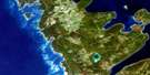
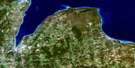
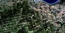
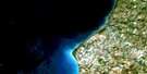
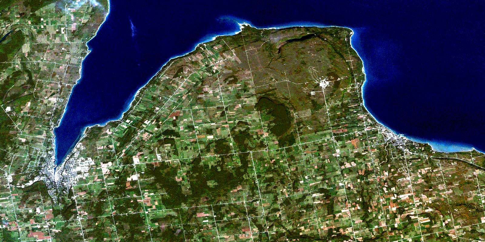
Owen Sound Satellite Image Map
Download Free Aerial Photo 041A10 at 1:50,000 scale
Owen Sound Satellite Imagery
To view this satellite map, mouse over the air photo on the right.
You can also download this satellite image map for free:
041A10 Owen Sound high-resolution satellite image map.
Maps for the Owen Sound aerial map sheet 041A10 at 1:50,000 scale are also available in these versions:
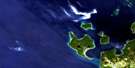
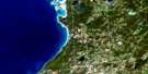
Owen Sound Surrounding Area Aerial Photo Maps
 |
 |
 |
|
 |
 |
 |
|
 |
 |
 |
 |
 |
 |
 |
 |
© Department of Natural Resources Canada. All rights reserved.
Owen Sound Gazetteer
The following places can be found on satellite image map 041A10 Owen Sound:
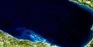
Owen Sound Satellite Image: Bays
Baie GeorgienneCoffin Cove
Georgian Bay
Gravelly Bay
Johnson Harbour
North Basin
Nottawasaga Bay
Owen Sound
Owen Sound Harbour
Paynter Bay
Paynter's Bay
South Basin
Owen Sound Satellite Image: Beaches
Kelso BeachSunnyside Beach
Owen Sound Satellite Image: Capes
Bayview PointBlack Point
Boucher Point
Bruce Peninsula
Cape Rich
Harkness Point
Presqu'ile Point
Pyette Point
Squaw Point
Sutton Point
Vail Point
Vail's Point
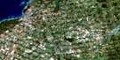
Owen Sound Satellite Image: City
Owen SoundOwen Sound Satellite Image: Cliffs
Southeast ClaybanksThe Claybanks
Owen Sound Satellite Image: Falls
Indian FallsJones Falls
Keefer Falls
Owen Sound Satellite Image: Geographical areas
CollingwoodDerby
Euphrasia
Grey
Keppel
Sarawak
St. Vincent
Sydenham
Owen Sound Satellite Image: Lakes
Bass LakeGowan Lake
Lac Huron
Lake Huron
Mary Lake
Mountain Lake
Sheppard Lake
Owen Sound Satellite Image: Marine navigation features
Meaford HarbourOwen Sound Satellite Image: Military areas
Champ de tir et champ de manoeuvre MeafordMeaford Range and Training Area
Owen Sound Satellite Image: Mountains
Bayview HillCoffin Hill
Pyette Hill
Scotch Mountain
Whitelaw's Hill
Owen Sound Satellite Image: Major municipal/district area - major agglomerations
GreyOwen Sound Satellite Image: Other municipal/district area - miscellaneous
ArtemesiaCollingwood
Derby
Euphrasia
Georgian Bluffs
Grey Highlands
Keppel
Osprey
Sarawak
St. Vincent
Sydenham
Owen Sound Satellite Image: Conservation areas
Ainslie Wood Conservation AreaBayview Escarpment Provincial Nature Reserve
Beautiful Joe Conservation Area
Christie Beach Conservation Area
Hibou Conservation Area
Inglis Falls Conservation Area
Pottawatomi Conservation Area
Owen Sound Satellite Image: Rivers
Bighead RiverBothwell's Creek
Centreville Creek
East Meaford Creek
East Minniehill Creek
Grier Creek
Indian Creek
Johnson Creek
Keefer Creek
Little Beaver Creek
Maxwell Creek
Meaford Creek
Minniehill Creek
Mud Creek
North Spey River
Orchard Creek
Pottawatomi River
Rocklyn Creek
Sucker Creek
Sydenham River
Telfer Creek
Walters Creek
Waterton Creek
Workman's Creek
Owen Sound Satellite Image: Shoals
Squaw Point ShoalThe Sisters
Vail Point Shoal
Owen Sound Satellite Image: Towns
Blue MountainsGeorgian Highlands
Meaford
Owen Sound Satellite Image: Unincorporated areas
AnnanBalaclava
Balmy Beach
Bayview
Benallen
Blantyre
Bognor
Bothwell Corners
Bothwell's Corner
Brooke
Brookholm
Centreville
Christie Beach
Colenso
East Linton
Elmhedge
Garryowen
Georgian Beach
Griersville
Hoath Head
Hogg
Inglis Falls
Johnson
Kemble
Kent
Kiawanna Beach
Kiowana Beach
Leith
Lindenwood
Meaford
Minniehill
Morley
Oxmead
Rockford
Silcote
Springmount
Squire
Strathnairn
Woodford
Owen Sound Satellite Image: Valleys
The GlenOwen Sound Satellite Image: Low vegetation
Bognor MarshHoath Head Marsh
© Department of Natural Resources Canada. All rights reserved.
