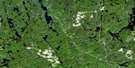
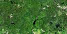
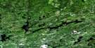
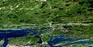
Verner Satellite Image Map
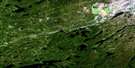
Download Free Aerial Photo 041I08 at 1:50,000 scale
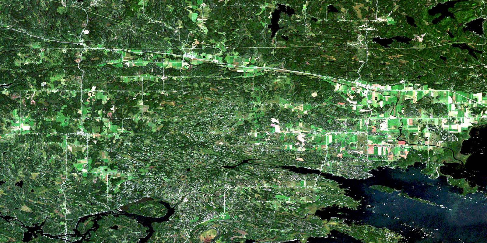
Verner Satellite Imagery
To view this satellite map, mouse over the air photo on the right.
You can also download this satellite image map for free:
041I08 Verner high-resolution satellite image map.
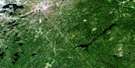
Maps for the Verner aerial map sheet 041I08 at 1:50,000 scale are also available in these versions:
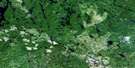
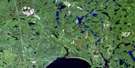
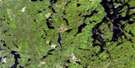
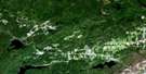
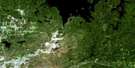
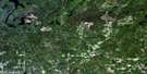
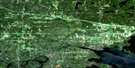
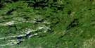
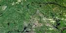
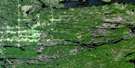
Verner Surrounding Area Aerial Photo Maps
 |
 |
 |
 |
 |
 |
 |
 |
 |
 |
 |
 |
 |
 |
 |
 |
© Department of Natural Resources Canada. All rights reserved.
Verner Gazetteer
The following places can be found on satellite image map 041I08 Verner:
Verner Satellite Image: Bays
Baie AubinBaie Lamoureux
Bear Bay
Bear Bay
Black Rock Bay
Cache Bay
Collins Bay
East Bay
Indian Portage Bay
Keith's Bay
McLeod Bay
Merganser Bay
Middle West Bay
Mud Bay
Musky Bay
Northwest Bay
Pike Bay
Round Bay
Sawmill Bay
South Bay
West Arm
West Arm of Lake Nipissing
West Bay
Whissel Bay
Verner Satellite Image: Capes
Goulais PointPike Point
The Elbow
Verner Satellite Image: Channels
Doster's NarrowVerner Satellite Image: City
Nipissing OuestRivière des Français
Verner Satellite Image: Cliffs
Black RockVerner Satellite Image: Geographical areas
ApplebyBadgerow
Bertram
Caldwell
Casimir
Cherriman
Dunnet
Field
Haddo
Hagar
Hugel
Jennings
Kirkpatrick
Latchford
Loudon
Macpherson
Nipissing
Ratter
Springer
Sudbury
Verner Satellite Image: Islands
Bev IslandBlueberry Island
Cache Island
Centre Island
Chaput's Island
Coopers Island
East Hardwood Island
Garden Island
Gull Islands
Hardwood Islands
Harry's Island
Île à Chaput
Little Islands
Little Oak Island
Maskinonge Island
McLeod Islands
Moss Island
Oak Island
Pedlar Island
Phil's Island
Rock Islands
Sawbill Island
Snake Island
The Island
Umbrella Island
West Hardwood Island
Verner Satellite Image: Lakes
Badgerow LakeBain Lake
Bear Lake
Berry Lake
Buckwheat Lake
Cache Lake
Cross Lake
Deer Lake
Duff Lake
Hugel Lake
Lac Caché
Lac Nepewassi
Lac Nipissing
Lac Tonnerre
Lake Nipissing
Lily Lake
Martinson Lake
Moss Lake
Muskosung Lake
Nepewassi Lake
Ratter Lake
Tanner Lake
Waubamac Lake
Verner Satellite Image: Other municipal/district area - miscellaneous
CaldwellCasimir, Jennings and Appleby
Cosby and Mason
Cosby, Mason and Martland
Field
Hagar
Martland
Ratter and Dunnet
Springer
Verner Satellite Image: Conservation areas
Cache Bay Wetland Conservation ReserveField Township Conservation Reserve
Mashkinonje Provincial Park
Verner Satellite Image: Rivers
Amateewakea RiverBear Creek
Cache River
Courchesne's Creek
Deer Creek
Duck Creek
Kesagami River
Kiyask River
Little Cache River
Macpherson Creek
Maskinonge Creek
Muskrat Creek
Nepewassi River
Perrault's Creek
Ramsay Creek
Riberdy Creek
Rice Creek
Rivière Veuve
Veuve River
West River
Verner Satellite Image: Shoals
Bald RocksHay Rock
Pickerel Rock
Verner Satellite Image: Towns
French RiverMarkstay-Warren
St.-Charles
West Nipissing
Verner Satellite Image: Unincorporated areas
Appleby CornerCaderette
Casimir
Dunnet
Dunnet's Corner
Hagar
Hugel
Kipling
Kirk
Lavigne
Millerand
Notre Dame du Lac
St. Charles
Verner
Warren
West Arm
© Department of Natural Resources Canada. All rights reserved.
