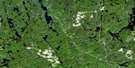
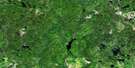
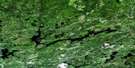
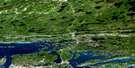
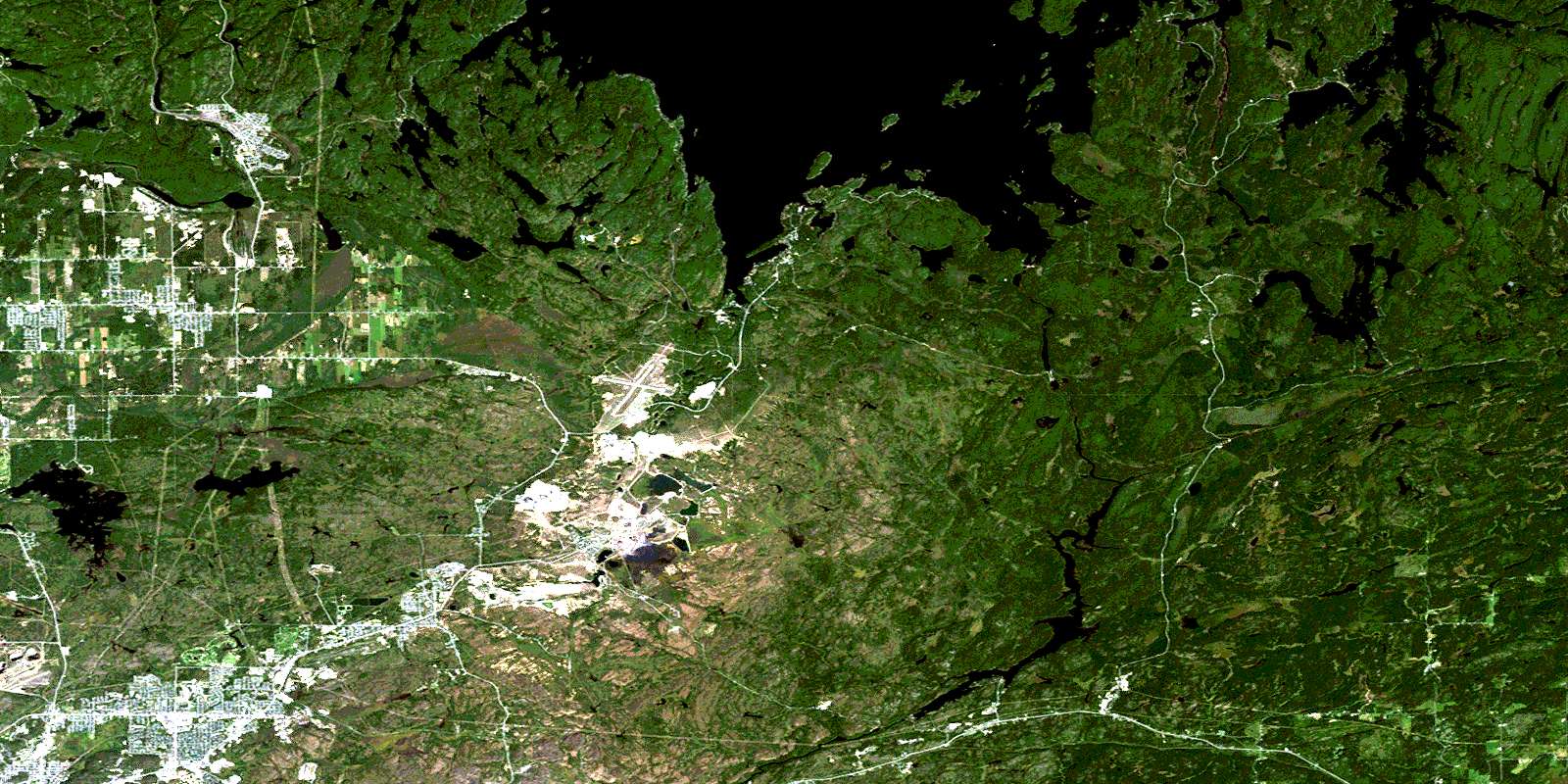
Capreol Satellite Image Map
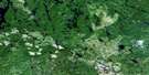
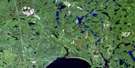
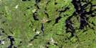
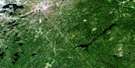
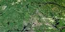
Download Free Aerial Photo 041I10 at 1:50,000 scale
Capreol Satellite Imagery
To view this satellite map, mouse over the air photo on the right.
You can also download this satellite image map for free:
041I10 Capreol high-resolution satellite image map.
Maps for the Capreol aerial map sheet 041I10 at 1:50,000 scale are also available in these versions:
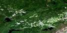
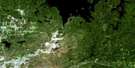
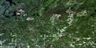
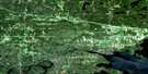
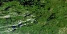
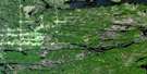
Capreol Surrounding Area Aerial Photo Maps
 |
 |
 |
 |
 |
 |
 |
 |
 |
 |
 |
 |
 |
 |
 |
 |
© Department of Natural Resources Canada. All rights reserved.
Capreol Gazetteer
The following places can be found on satellite image map 041I10 Capreol:
Capreol Satellite Image: Bays
Boland's BayBowland Bay
Cochrane Bay
Fredsons Bay
Klondike Bay
Kolari Bay
Kolari Bay
Massey Bay
Outlet Bay
Outlet Bay
Portage Bay
Scadding Bay
Skead Bay
Southeast Bay
West Bay
Wright's Bay
Capreol Satellite Image: Capes
Bissett's PointHiggins Point
Kritz's Point
McClouds Point
Redrock Point
Skead Point
Capreol Satellite Image: Channels
Crystal NarrowsCapreol Satellite Image: City
Grand SudburyGreater Sudbury
Capreol Satellite Image: Falls
Lambart FallsTimmins Chute
Capreol Satellite Image: Geographical areas
AwreyBlezard
Capreol
Davis
Dryden
Falconbridge
Garson
Hagar
Hanmer
Kelly
Loughrin
Maclennan
McKim
Neelon
Norman
Rathbun
Scadding
Street
Sudbury
Wisner
Capreol Satellite Image: Islands
A IslandBlueberry Island
Bonanza Island
Burnt Island
Chambers Island
Chimney Island
Finley Island
High Island
Howie Island
Maclennan Island
Moore's Island
Oak Island
Rioux's Island
Seagull Island
Shaw Island
Sloan's Island
Wanapitei Island
Capreol Satellite Image: Lakes
Amy LakeAshigami Lake
Barnett Lake
Bass Lake
Bassfin Lake
Blue Lake
Boland's Lake
Bonanza Lake
Boot Lake
Boucher Lake
Bowland Lake
Bronson Lake
Bugg Lake
Bushy Lake
Capre Lake
Capreol Lake
Chaya Pond
Drill Lake
Eatlots Lake
Ella Lake
Falcon Gold Lake
Farm Lake
Fault Lake
Ford Lake
Fortune Lake
Frenchman Lake
Frost Lake
Garson Lake
Greens Lake
Hagarty Lake
Halfway Lake
Hanmer Lake
Headquarters Lake
Horseshoe Lake
Insect Lake
Jackson Lake
Joe Lake
Jones Lake
Kukagami Lake
Lac St. Jean
Lac Wanapitei
Little Amy Lake
Little Bonanza Lake
Little Moose Lake
Long Lake
Long Lake
MacDonald's Lake
Marshy Lake
Massey Lake
Matagamasi Lake
McCrea Lake
McLaren Lake
Minnow Lake
Moose Lake
Moose Lake
Moose Lake
Mud Lake
Newton's Pothole
North Lake
Norway Lake
Onwatin Lake
Paddy's Lake
Pike Lake
Pond Lake
Portage Lake
Pot Hole Lake
Rat Lake
Redrock Ponds
Rockcut Lake
Rocky Lake
Selwyn Lake
Skynner Lake
Spar Lake
Spider Lake
Suez Pit
Waddell Lake
Wanapitei Lake
Whitson Lake
Windy Lake
Capreol Satellite Image: Major municipal/district area - major agglomerations
SudburyCapreol Satellite Image: Other municipal/district area - miscellaneous
BlezardCapreol
Capreol and Hanmer
Falconbridge
Garson
Hagar
Hanmer
Neelon and Garson
Neelon and Garson
Ratter and Dunnet
Capreol Satellite Image: Conservation areas
Garson Forest Conservation ReserveMacLennan Esker Forest Conservation Reserve
Capreol Satellite Image: Rapids
Lambart RapidsMoose Rapids
Capreol Satellite Image: Rivers
Carafel CreekConiston Creek
Emery Creek
Junction Creek
Kabikotitwia River
Leblanc Creek
Massey Creek
Massey Creek
McLaren Creek
North Veuve River
Rivière de Whitson
Rivière Vermillion
Rivière Veuve
Rivière Wanapitei
Speckled Trout Creek
Spring Creek
Tank Creek
Timmins Creek
Vermilion River
Veuve River
Wanapitei River
Whitson River
Capreol Satellite Image: Road features
Ashigami PortageCapreol Satellite Image: Towns
Markstay-WarrenCapreol Satellite Image: Unincorporated areas
AlgoBailey Corners
Barrydowne
Basin Mines
Boland's Bay
Bowlands Bay
Callum
Cambrian Heights
Capreol
Carr's Landing
Crerar
Cryderman Subdivision
Don Lita
Donovan
Elmview
Falconbridge
Flour Mill
Garlake
Garson
Garson Junction
Garson Mine
Guilletville
Hagarty
Hanmer
Hanmer
Happy Valley
Lebel
McCrea Heights
New Sudbury
Nickel Centre
Nickeldale
Parkwood
Sand Pit
Skead
Spaidal
Stinson
Sudbury
Sudbury
Sudbury Junction
Suez
The Donovan
Valley East
© Department of Natural Resources Canada. All rights reserved.
