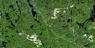
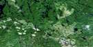
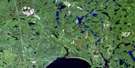
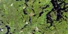
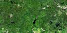
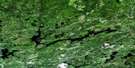
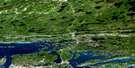
Cartier Satellite Image Map
Download Free Aerial Photo 041I12 at 1:50,000 scale
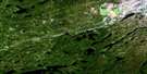
Cartier Satellite Imagery
To view this satellite map, mouse over the air photo on the right.
You can also download this satellite image map for free:
041I12 Cartier high-resolution satellite image map.
Maps for the Cartier aerial map sheet 041I12 at 1:50,000 scale are also available in these versions:
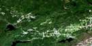
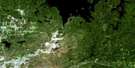
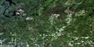
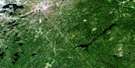
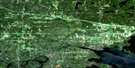
Cartier Surrounding Area Aerial Photo Maps
 |
 |
 |
 |
 |
 |
 |
 |
 |
 |
 |
 |
 |
 |
 |
 |
© Department of Natural Resources Canada. All rights reserved.
Cartier Gazetteer
The following places can be found on satellite image map 041I12 Cartier:
Cartier Satellite Image: Bays
Cochrane's BayIndian Bay
Cartier Satellite Image: Geographical areas
107108
114
115
119
120
A
Acheson
Algoma
B
Bigelow
Cartier
Cascaden
Craig
Ermatinger
Hart
Hess
Moncrieff
Moses
Oshell
Ouellette
Rowat
Solski
Sudbury
Tofflemire
Totten
Trill
Venturi
Vernon
Weeks
Cartier Satellite Image: Islands
Ferguson IslandStanley Island
Taylor's Island
Cartier Satellite Image: Lakes
24 Mile LakeAcheson Lake
Alaska's Lake
Armstrong Lake
Benson Lake
Camp Ten Lake
Carhess Lake
Cartier Lake
Cascaden Lake
Charcoal Lake
Clear Lake
Crab Lake
Crazy Lake
Deerskin Lake
Depot Lake
Diamond Lake
Division Lake
Dowes Lake
Downes Lake
Dry Lake
Duck Lake
Duncan Lake
East Totten Lake
Ferguson Lake
Four Mile Lake
Fox Lake
Geneva Lake
Georgia Lake
Green Lake
Green Lake
Hess Lake
Island Lake
Johnson Lake
Johnson Lake
Leaning Pine Lake
Len Lake
Little Craig Lake
Little Irene Lake
Long Lake
Loon Lake
Lost Lake
Lower Shakwa Lake
Macaulay Lake
McCool Lake
Ministic Lake
Moon Lake
Mosquito Lake
Mountain Lake
Mousseau Lake
Mud Lake
New Sawmill Lake
Otter Lake
Pibroch Lake
Pistol Lake
Reynolds Lake
Rushbrook Lake
S Lake
Sandys Lake
Sawmill Lake
Shank Lake
Silt Lake
Soucie Lake
Southwest Snider Lake
Spanish Lake
Three Mile Lake
Titmouse Lake
Totten Lake
Twin Lakes
Vignette Lake
Weequed Lake
West Cameron Lake
Whitefish Lake
Cartier Satellite Image: Conservation areas
Cartier Moraine Conservation ReserveCentre Creek Old Growth White Pine Conservation Reserve
Rushbrook Provincial Park
Spanish River Provincial Park
Cartier Satellite Image: Rapids
Cedar RapidsGraveyard Rapids
The Ladders
Cartier Satellite Image: Rivers
Agnes RiverAlces Creek
Armstrong Creek
Bannerman Creek
Cameron Creek
Centre Creek
Charcoal Creek
Crazy Creek
Depot Creek
Geneva Creek
Hess Creek
John Creek
John Creek
Miller Creek
Ministic Creek
Moncrieff Creek
Pumphouse Creek
Reynolds Creek
Rushbrook Creek
Spanish River
Sucker Creek
Totten Creek
Wakonassin River
Weequed Creek
Cartier Satellite Image: River features
The ElbowCartier Satellite Image: Unincorporated areas
Cartier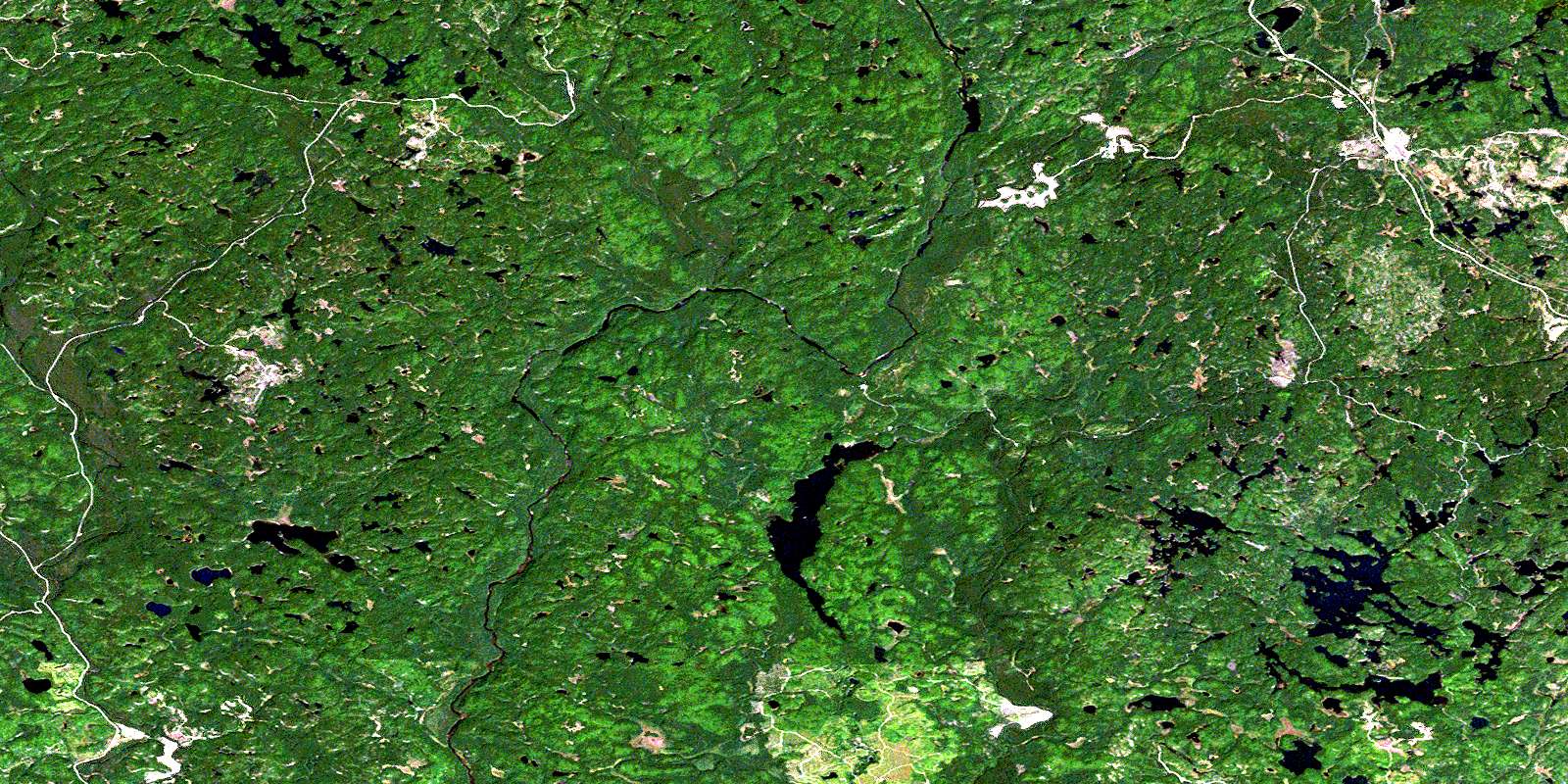
© Department of Natural Resources Canada. All rights reserved.
