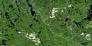
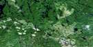
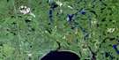
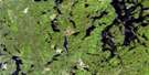
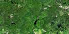
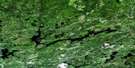
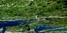
Noelville Satellite Image Map
Download Free Aerial Photo 041I01 at 1:50,000 scale
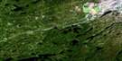
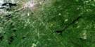
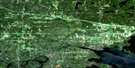
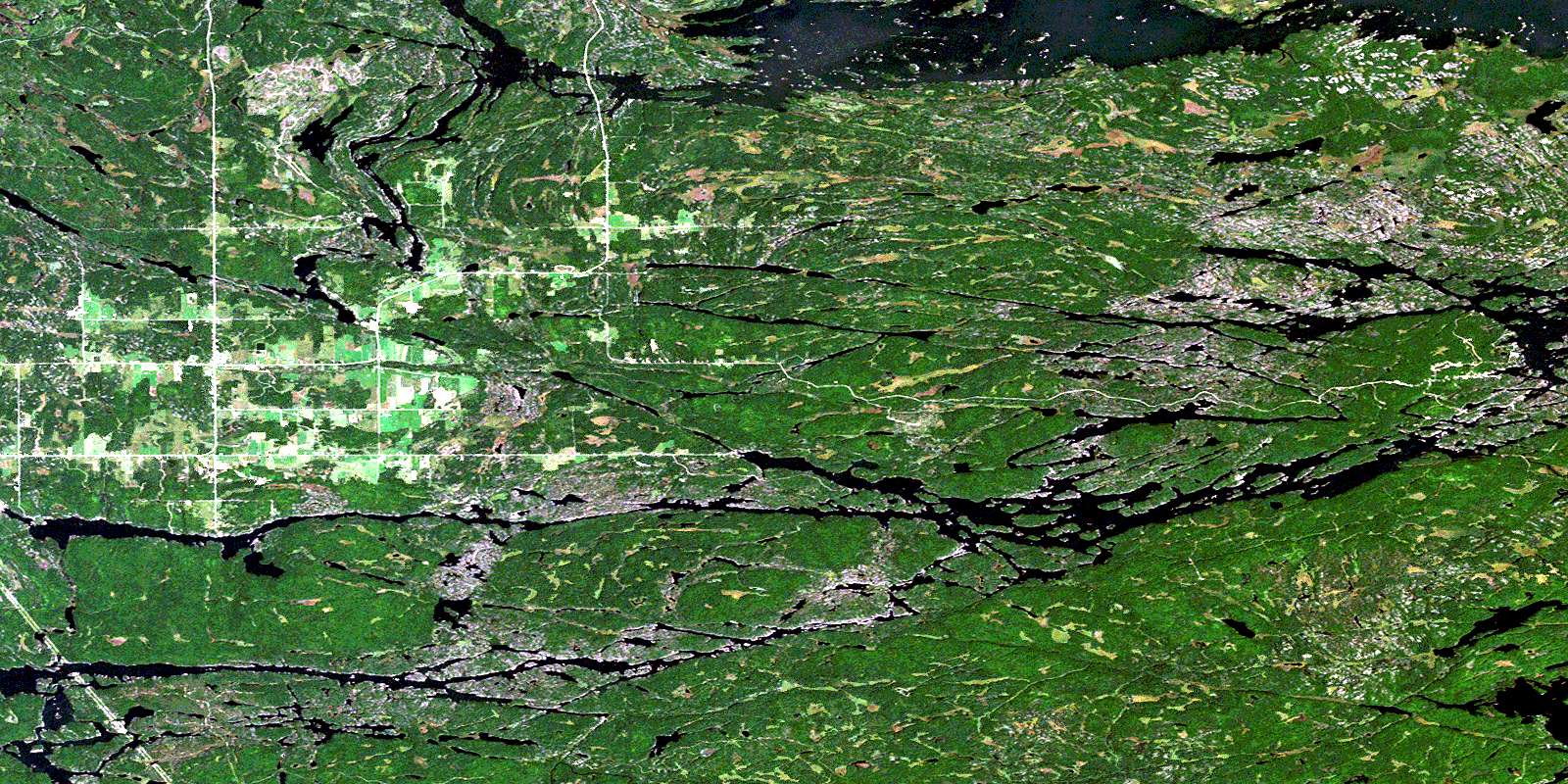
Noelville Satellite Imagery
To view this satellite map, mouse over the air photo on the right.
You can also download this satellite image map for free:
041I01 Noelville high-resolution satellite image map.
Maps for the Noelville aerial map sheet 041I01 at 1:50,000 scale are also available in these versions:
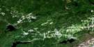
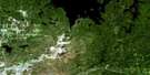
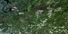
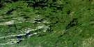
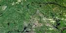
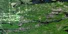
Noelville Surrounding Area Aerial Photo Maps
 |
 |
 |
 |
 |
 |
 |
 |
 |
 |
 |
 |
 |
 |
 |
 |
© Department of Natural Resources Canada. All rights reserved.
Noelville Gazetteer
The following places can be found on satellite image map 041I01 Noelville:
Noelville Satellite Image: Bays
Ash BayBaie Daoust
Balmer Bay
Bark Bay
Bear Bay
Blind Bay
Clearwater Bay
Coté Bay
Daoust Bay
Deer Bay
Deer Bay
Dokis Bay
Five Mile Bay
Fivemile Bay
Grassy Bay
Hammerhead Bay
Horseshoe Bay
Keith's Bay
Lunge Bay
Merganser Bay
North Muskrat Bay
Pine Cove
Restoule Bay
Rogers Bay
Shanty Bay
South Bay
South Muskrat Bay
T Bay
Two Mile Bay
Warren Bay
West Arm
West Arm of Lake Nipissing
West Bay
Wolfe Cove
Wolseley Bay
Noelville Satellite Image: Capes
Arthur PointBear Point
Dalton's Point
Deadhog Point
Green Point
Jennings Point
Keso Point
Lafleche Point
Owl Point
Playfair Point
Point Edward
Scott Point
The Elbow
Noelville Satellite Image: Channels
Big CutChaudière Channel
Free Flowing Channel
French River Main Channel
Hay Narrows
Little Chaudière Channel
Little Cut
Main Channel (French River)
North Channel (French River)
Obatiming Channel
Noelville Satellite Image: City
Nipissing OuestRivière des Français
Noelville Satellite Image: Cliffs
Devil's DoorNoelville Satellite Image: Falls
Blue ChuteDevil Chute
Noelville Satellite Image: Geographical areas
BertramBlair
Cherriman
Cosby
Falconer
Haddo
Hardy
Latchford
Loudon
Martland
Mason
McConkey
Mowat
Nipissing
Parry Sound
Scollard
Sudbury
Noelville Satellite Image: Hydraulic construction
Chaudière DamLittle Chaudière Dam
Noelville Satellite Image: Indian Reserves
Dokis 9Dokis Indian Reserve 9
French River Indian Reserve 13
Réserve indienne Dokis 9
Réserve indienne French River 13
Noelville Satellite Image: Islands
Bark IslandsBig Bluff Island
Boom Island
Bosworth Island
Burnt Island
Cantin Island
Caulkins Island
Commanda Island
Concord Island
Coté Island
Cross Island
Deremo Island
Double Rapid Island
Double Rapids Island
Eighteen Mile Island
Elizabeth Island
Evergreen Island
Fire Island
George Island
Georgia Island
Green Island
Gull Island
Hale Island
Half Island
Hall Island
Haystack Islands
Huntington Island
Île des Dix-Huit Milles
Jeune Mariée Island
Kervins Island
Keso Island
Loftus Island
Martin Island
Miller Island
Okikendawt Island
Page Island
Parisien Island
Pine Island
Pineknot Island
Rainy Island
Rock Island
Shields Island
Squaw Island
The Ducks
Three Sisters Islands
Umbrella Island
Weldon Island
Wigwam Islands
Wright Island
Noelville Satellite Image: Lakes
Bark LakeBark Lake
Bear Lake
Byrne Lake
Doe Lake
Ethier Lake
Frank Lake
Haddo Lake
Island Lake
Jack Lake
Lac à la Truite
Lac Brulé
Lac Chauvin
Lac Menard
Lac Nipissing
Lac Viau
Lake Nipissing
Lower Haddo Lake
Lower Jack Lake
Marshall Lake
Memesagamesing Lake
Mercer Lake
Monet Lake
Number Four Lake
Number One Lake
Number Three Lake
Number Two Lake
Pike Lake
Pine Lake
Playfair Lake
Porcupine Lake
Portage Lake
Rabbit Lake
Redpine Lake
Trout Lake
Woodcock Lake
Noelville Satellite Image: Other municipal/district area - miscellaneous
CaldwellCasimir, Jennings and Appleby
Cosby and Mason
Cosby, Mason and Martland
Field
Martland
Springer
Noelville Satellite Image: Conservation areas
Cherriman Township Conservation ReserveEighteen Mile Island Wilderness Area
French River Provincial Park
Mashkinonje Provincial Park
Northern McConkey Conservation Reserve
Noelville Satellite Image: Rapids
Big Parisien RapidsBig Parisien Rapids
Big Pine Rapids
Cedar Rapids
Crooked Rapids
Double Rapids
Five Finger Rapid
Five Finger Rapids
Five Mile Rapids
Fivemile Rapids
Little Parisien Rapids
Little Parisien Rapids
Little Pine Rapids
Lower Chaudiere Rapids
The Ladder
Upper Chaudiere Rapids
Noelville Satellite Image: Rivers
Amateewakea RiverBirch Creek
Blaney Creek
Cosby Creek
French River North Channel
Haddo Creek
Hall River
Hardy Creek
Jack Creek
Little French River
Memesagamesing River
Muskrat Creek
Number One Creek
Number Two Creek
Pickerel River
Pine River
Porcupine Creek
Porcupine Creek
Redpine Creek
Restoule River
Sucker Creek
Wolf River
Wolseley River
Noelville Satellite Image: Towns
French RiverSt.-Charles
West Nipissing
Noelville Satellite Image: Unincorporated areas
Chartrand CornerDokis
Dokis
Lunge Lodge
Monetville
Noelville
Noëlville
North Monetville
Ouellette
Shanty Bay
Sucker Creek Landing
West Arm
Wolseley Bay
© Department of Natural Resources Canada. All rights reserved.
