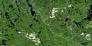
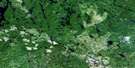
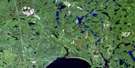
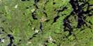
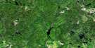
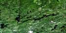
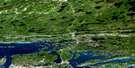
Chelmsford Satellite Image Map
Download Free Aerial Photo 041I11 at 1:50,000 scale
Chelmsford Satellite Imagery
To view this satellite map, mouse over the air photo on the right.
You can also download this satellite image map for free:
041I11 Chelmsford high-resolution satellite image map.
Maps for the Chelmsford aerial map sheet 041I11 at 1:50,000 scale are also available in these versions:
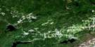
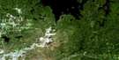
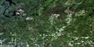
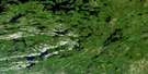
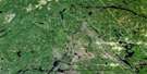
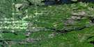
Chelmsford Surrounding Area Aerial Photo Maps
 |
 |
 |
 |
 |
 |
 |
 |
 |
 |
 |
 |
 |
 |
 |
 |
© Department of Natural Resources Canada. All rights reserved.
Chelmsford Gazetteer
The following places can be found on satellite image map 041I11 Chelmsford:
Chelmsford Satellite Image: Bays
Tower's BayChelmsford Satellite Image: Capes
McMahon PointChelmsford Satellite Image: Channels
Primo NarrowsChelmsford Satellite Image: City
Grand SudburyGreater Sudbury
Chelmsford Satellite Image: Falls
High FallsStobie Falls
Chelmsford Satellite Image: Geographical areas
BalfourBlezard
Bowell
Cartier
Cascaden
Creighton
Creighton-Davies
Dowling
Fairbank
Foy
Hanmer
Harty
Hess
Levack
Lumsden
McKim
Morgan
Rayside
Snider
Sudbury
Trill
Wisner
Chelmsford Satellite Image: Hydraulic construction
Stobie DamWindy Lake Dam
Chelmsford Satellite Image: Islands
Birch IslandBurnt Island
Green Island
Makoping Island
Pine Island
Sugarloaf Island
Chelmsford Satellite Image: Lakes
Beo LakeBoivin Lake
Carhess Lake
Carriere Lake
Cascaden Lake
Caya's Lake
Clara Belle Lake
Clear Lake
Cow Lake
Diabase Lake
Emma Lake
Foster Lake
Frappier Lake
Gordon Lake
Gravel Lake
Green Lake
Green Lake
Hachey Lake
High Cliff Lake
Irwin Lake
Island Lake
Joe Lake
Lake Labelle
Larch Lake
Longvack Lake
McCrea Lake
Moore Lake
Moose Lake
Morgan Lake
Mosquito Lake
Nelson Lake
New Sawmill Lake
Nickel Lake
Old Sawmill Lake
Paddy's Lake
Palmer Lake
Picard Lake
Pigeon Lake
Pike Lake
Poika Lake
Poleline Lake
Pot Hole Lake
Pump Lake
Roland Lake
Ross Lake
Rudy's Lake
Seal Lake
Simard Lake
Simmons Lake
Snider Lake
Southwest Snider Lake
Sweezey Lake
Tank Lake
Teal Lake
Towerman's Lake
Twin Lakes
Vack Lake
Vermilion Lake
Watson's Lake
Webfoot Lake
Weemoose Lake
West Morgan Lake
Whitewater Lake
Whitson Lake
Wilfred Lake
Windy Lake
Chelmsford Satellite Image: Marine navigation features
Gorham's LandingChelmsford Satellite Image: Mountains
Mont RouleauChelmsford Satellite Image: Major municipal/district area - major agglomerations
SudburyChelmsford Satellite Image: Other municipal/district area - miscellaneous
BalfourBalfour
Blezard
Capreol
Capreol and Hanmer
Dowling
Drury, Denison and Graham
Garson
Hanmer
Neelon and Garson
Rayside
Chelmsford Satellite Image: Conservation areas
Green Lake Old Pine Conservation ReserveWindy Lake Provincial Park
Chelmsford Satellite Image: Rapids
Kettle RapidsChelmsford Satellite Image: Rivers
Cameron CreekCarhess Creek
Depot Creek
Gordon Creek
Island Creek
Levey Creek
Little Sandcherry Creek
McGrindle Creek
McKenzie Creek
Moose Creek
Mosquito Creek
Nelson River
Nolins Creek
Onaping River
Rand Creek
Rapid River
Reedy Creek
Rivière de Whitson
Rivière Vermillion
Sandcherry Creek
Vermilion River
Wanitanga Creek
Whitson River
Windy Creek
Wingekisinaw River
Chelmsford Satellite Image: Towns
DowlingWaters
Chelmsford Satellite Image: Unincorporated areas
AzildaBelanger
Blezard Valley
Boninville
Bradley
Cambrian Heights
Carol Richard Park
Chelmsford
Donovan
Dowling
Flake
Frood Mine
Guilletville
Hull
Larchwood
Laurentien
Levack
Levack
Little Britain
Murray
Murray Mine
Nickelton
Northern Heights
Onaping
Onaping Falls
Phelans
Pinecrest
Rayside-Balfour
Simard
Sprecher
Sudbury
The Donovan
Val Caron
Val Therese
Valley East
Walden
Windy Lake
Chelmsford Satellite Image: Valleys
Blezard ValleyChelmsford Satellite Image: Low vegetation
Blezard Flats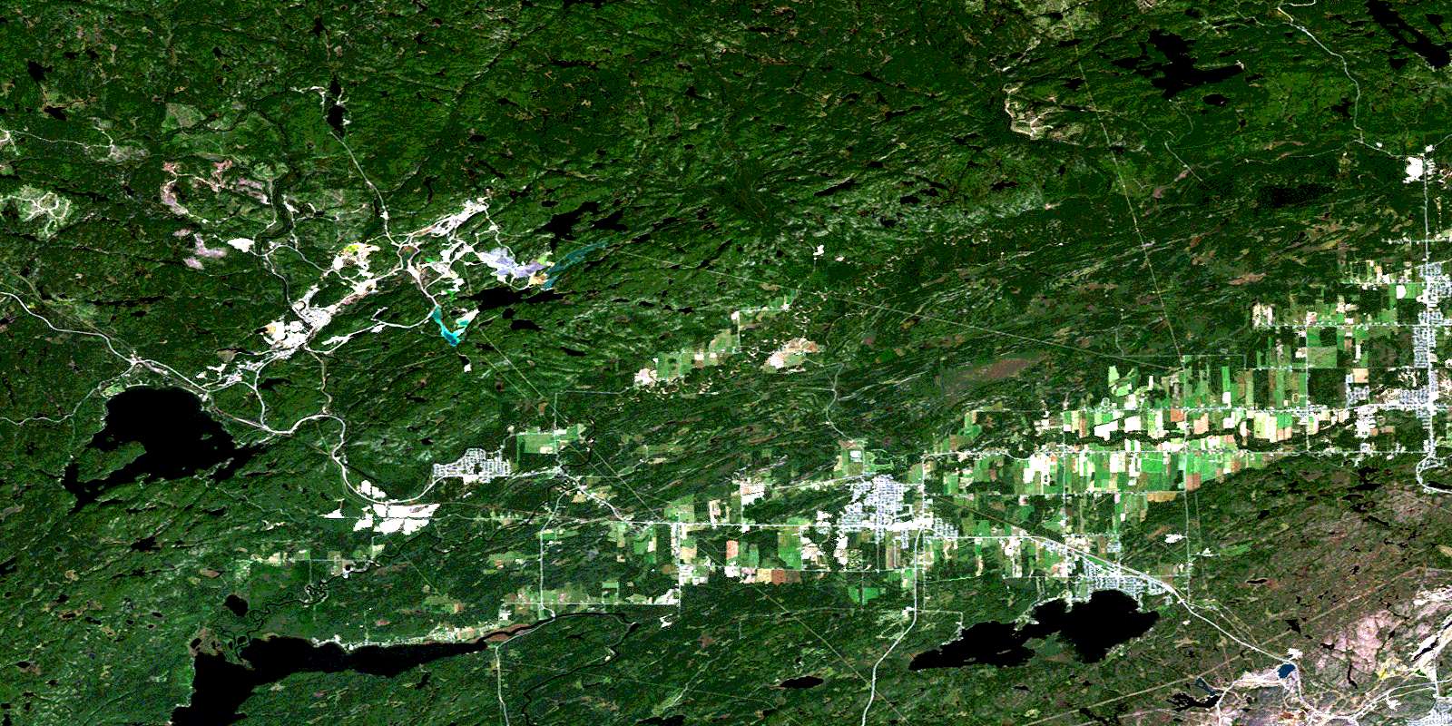
© Department of Natural Resources Canada. All rights reserved.
