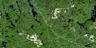
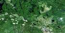
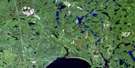
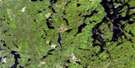
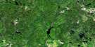
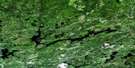
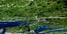
Whitefish Falls Satellite Image Map
Download Free Aerial Photo 041I04 at 1:50,000 scale
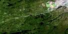
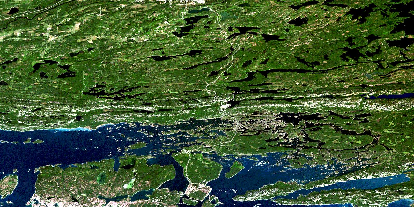
Whitefish Falls Satellite Imagery
To view this satellite map, mouse over the air photo on the right.
You can also download this satellite image map for free:
041I04 Whitefish Falls high-resolution satellite image map.
Maps for the Whitefish Falls aerial map sheet 041I04 at 1:50,000 scale are also available in these versions:
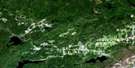
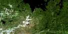
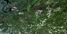
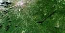
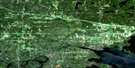
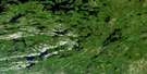
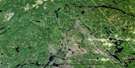
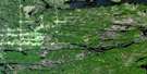
Whitefish Falls Surrounding Area Aerial Photo Maps
 |
 |
 |
 |
 |
 |
 |
 |
 |
 |
 |
 |
 |
 |
 |
 |
© Department of Natural Resources Canada. All rights reserved.
Whitefish Falls Gazetteer
The following places can be found on satellite image map 041I04 Whitefish Falls:
Whitefish Falls Satellite Image: Bays
Baie FineBay Finn
Bay of Islands
Bell Cove
Big Inlet
Boat Cove
Buckmiller Bay
Covered Portage Cove
Cranberry Bay
Frazer Bay
Freud Bay
Frood Bay
Grassy Bay
Grassy Bay
Haystack Harbour
Iroquois Bay
Jumbo Bay
Killarney Bay
Lunge Bay
McGregor Bay
Miller Bay
Mosquito Harbour
Narrow Bay
Nelly Bay
Oldwoman Harbour
Pathfinder Bay
Sawdust Bay
Shallow Bay
Squire's Bay
Storehouse Bay
Sturgeon Bay
Sturgeon Cove
Sunset Bay
Timkin Bay
Transfer Bay
West Bay
West Bay
Whitefish Falls Satellite Image: Capes
Alert PointCloche Peninsula
Dreamers Peninsula
Flat Point
Frazer Point
Hunt Point
Indian Reserve Point
La Cloche Peninsula
Little McGregor Point
Long Point
McGregor Point
Moose Point
Northwest Point
Palliser Point
Picnic Point
Whitefish Falls Satellite Image: Channels
Blasted ChannelBoat Passage
Cloche Channel
Dog Home Passage
East and West Channel
East Channel
La Cloche Channel
Little Waubuno Channel
North Channel
North Channel
Old Channel
Old Portage Channel
Sharks Jaw Channel
Splitrock Channel
Wabuno Channel
Waubuno Channel
Whitefish Falls Satellite Image: Cliffs
Dreamers RockWhitefish Falls Satellite Image: Falls
The Plunge FallsWhitefish Falls
Whitefish Falls Satellite Image: Geographical areas
CurtinFoster
Hallam
Harrow
Killarney
Manitoulin
May
McKinnon
Merritt
Mongowin
Roosevelt
Rutherford
Sudbury
Truman
Whitefish Falls Satellite Image: Indian Reserves
Réserve indienne Whitefish River 4Whitefish River 4
Whitefish River Indian Reserve 4
Whitefish Falls Satellite Image: Islands
Agawa IslandAndrew Island
Bateman Island
Battleship Island
Bear Island
Birch Island
Brush Island
Burnt Island
Burnt Island
Burnt Island
Carpmael Island
Chief Island
Childs Island
Cow Island
East Rous Island
East Sampson Island
Eastern Island
Five Islands
Flat Island
Garden Island
Great Cloche Island
Great La Cloche Island
Gull Rock
Halfway Islands
High Island
Hopper Island
Ireson Island
Iroquois Island
Jumbo Island
Kirkpatrick Island
Lane Island
Little Burnt Island
Little Cloche Island
Little La Cloche Island
Maltas Island
McGregor Island
Middle Sampson Island
Mink Island
Mosquito Island
Neptune Island
Pardsay Crag Island
Patten Island
Perley Island
Peru Island
Sampson Islands
Schreiber Island
Vim Island
Wardrope Island
Wells Island
West Sampson Island
Whitby Island
Whitefish Falls Satellite Image: Lakes
Alexander LakeAnderson Lake
Andress Lake
Apsey Lake
Augusta Lake
Bass Lake
Bass Pond
Bear Lake
Beatrix Lake
Beaver Lake
Bertha Lake
Bodina Lake
Brady Lake
Brazil Lake
Canis Lake
Carmichael Lake
Casson Lake
Charlton Lake
Clear Lake
Cleveland Lake
Crater Lakes
Cross Lake
Cutler Lake
Deerhound Lake
East Fox Lake
Elbow Lake
Elizabeth Lake
Evangeline Lake
Florence Lake
Fox Lake
Frood Lake
George Lake
Grab Lake
Grace Lake
Griffin Lake
Hannah Lake
Hanwood Lake
Hardwood Lake
Hele Lake
Helen Lake
Horseshoe Lake
House Lake
Ishmael Lake
Jenkins Lake
Josephine Lake
Katrine Lake
La Cloche Lake
Lake Panache
Lang Lake
Leech Lake
Lewis Lake
Little Bear Lake
Little Hannah Lake
Little Leech Lake
Long Lake
Long Lake
Loon Lake
Low Lake
Major Lake
Maple Lake
Marjorie Lake
Marsh Lake
McAndress Lake
Moose Lake
Mud Lake
Murray Lake
Nellie Lake
North Potter Lake
North Silver Lake
Pleasant Lake
Plunge Lake
Porcupine Lake
Potter Lake
Raven Lake
Rivers Lake
Round Lake
Shawshashigin Lake
Silver Lake
Spark Lake
Spring Lake
Spruce Lake
St. Leonard Lake
Star Lake
Stratton Lake
Tempest Lake
The Three Lakes
Tulloch Lake
Twin Lakes
Van Winkle Lake
Walker Lake
West Brady Lake
West Quartzite Lake
White's Lake
Wilkinson's Lake
Wood Lake
Wright's Lake
Whitefish Falls Satellite Image: Mountains
Blue RidgeBroad Hill
Casson Peak
Cloche Bluff
Cloche Mountains
East Knob
Frazer Bay Hill
Killarney Ridge
La Cloche Mountains
Mount Arabella
Mount Ararat
Mount Calvert
Quartz Rock
South La Cloche Mountains
South La Cloche Range
White Mountain
Whitefish Falls Satellite Image: Other municipal/district area - miscellaneous
HallamHowland
Rutherford and George Island
Sables-Spanish Rivers
Salter, May and Harrow
The Spanish River
Victoria
Whitefish Falls Satellite Image: Conservation areas
Crater Lakes Wilderness AreaKillarney Provincial Park
La Cloche Provincial Park
La Cloche Ridge Conservation Reserve
Whitefish Falls Satellite Image: Rivers
Bass CreekBirch Creek
Brazil Creek
Darkie Creek
Fox Creek
Frood Creek
Gough Creek
Howry Creek
Kirk Creek
La Cloche Creek
McKinnon Creek
Spanish River
St. Leonard Creek
The Notch
West River
Whitefish River
Whitefish Falls Satellite Image: Shoals
Caroline RocksDuncan City Rock
Gordon Rock
Halcyon Rock
Harrison Rock
Louisa Rocks
Luard Rock
Moberly Rock
Oliver Rock
Rous Bank
Whitefish Falls Satellite Image: Towns
EspanolaKillarney
Northeastern Manitoulin and the Islands
Northeastern Manitoulin and the Islands
Whitefish Falls Satellite Image: Unincorporated areas
Anderson LakeAnderson Lake
Anderson Lake Station
Birch Island
Carson
Fox Lake
Lawson Quarry
Lee Valley
McGregor Bay
Otter Rapids
West River
Whitefish Falls
Willisville
© Department of Natural Resources Canada. All rights reserved.
