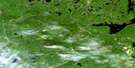
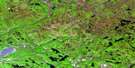
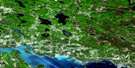
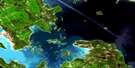
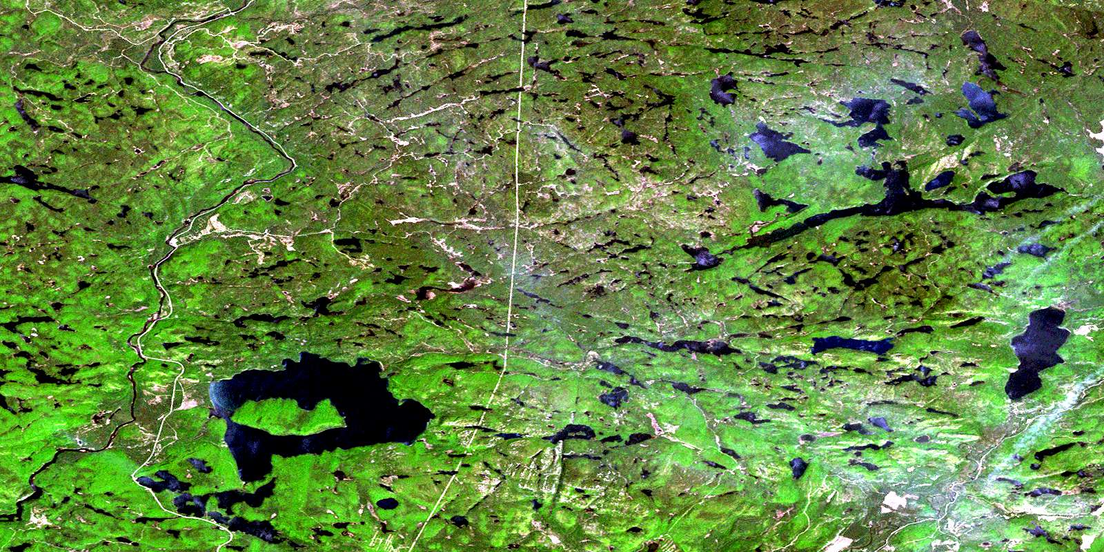
Wakomata Lake Satellite Image Map
Download Free Aerial Photo 041J11 at 1:50,000 scale
Wakomata Lake Satellite Imagery
To view this satellite map, mouse over the air photo on the right.
You can also download this satellite image map for free:
041J11 Wakomata Lake high-resolution satellite image map.
Maps for the Wakomata Lake aerial map sheet 041J11 at 1:50,000 scale are also available in these versions:
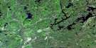
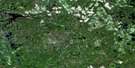
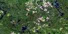
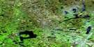
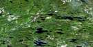
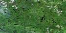
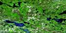
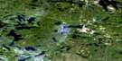
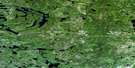
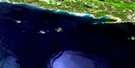
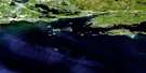
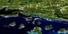
Wakomata Lake Surrounding Area Aerial Photo Maps
 |
 |
 |
 |
 |
 |
 |
 |
 |
 |
 |
 |
 |
 |
 |
 |
© Department of Natural Resources Canada. All rights reserved.
Wakomata Lake Gazetteer
The following places can be found on satellite image map 041J11 Wakomata Lake:
Wakomata Lake Satellite Image: Falls
Pig Pen ChuteWakomata Lake Satellite Image: Geographical areas
168169
175
176
182
188
195
196
1C
1D
1E
1F
2C
2D
2E
2F
4G
Albanel
Algoma
Casson
Cuthbertson
Dagle
Gould
Grasett
Haughton
Jackson
Kamichisitit
LeCaron
Nouvel
Otter
Reilly
Rioux
Sayer
Shingwaukonce
Simons
Slievert
Sturgeon
Varley
Wagg
Wakomata Lake Satellite Image: Lakes
Aikens LakeArthur Lake
Assinamish Lake
Baird Lake
Barr Lake
Bayview Lake
Beaverkit Lake
Beilhartz Lake
Big Horseshoe Lake
Big Trout Lake
Bijou Lake
Black Lake
Blinko Lake
Blue Heaven Lake
Bluebird Lake
Bond Lake
Boot Lake
Bridge Lake
Brown Lake
Bull Lake
Burden Lake
Burns Lake
Burtt Lake
Camp Forty One Lake
Cashen Lake
Castra Lake
Chain Lake
Checkmark Lake
Cheney Lake
Chub Lake
Conacher Lake
Curve Lake
Damn Lake
Deadtree Lake
Delaney Lake
Dobie Lake
Dougall Lake
Duck Lake
Duval Lake
Dyment Lake
East Caribou Lake
East Twin Lake
Echo Lake
Elbow Lake
Ellis Pond
Endikai Lake
Farrel Lake
Faultside Lake
Finn Lake
Footprint Lake
Frobel Lake
Grasett Lake
Green Lake
Grindstone Lake
Harten Lake
Highland Lake
Hoover Lake
Horseshoe Lake
Huston Lake
Hyslop Lake
Izaak Lake
Jess Lake
Jimmy Lake
Jobammageeshig Lake
Kirk Lake
Kirkpatrick Lake
Lafoe Lake
Little Lafoe Lake
Long Lake
McEachern Lake
McGrath Lake
Mills Lake
Mistaken Lake
Moose Lake
Mud Lake
Murphy Lake
Murray Lake
Narrow Lake
Narvik Lake
Onedee Lake
Papineau Lake
Pearl Lake
Pineland Lake
Pipe Lake
Pointer Lake
Portage Lake
Puddingstone Lake
Rackey Lake
Raven Lake
Regal Lake
Robb Lake
Rockcliff Lake
Rogers Lake
Roothouse Lake
Rowe Lake
Saunders Lake
Seven Camp Lake
Seymour Lake
Shingwak Lake
Skirl Lake
Slash Lake
Snowbird Lake
Spot Lake
Stover Lake
Stringer Lake
Stull Lake
Swamp Island Lake
Swanson Lake
Teepee Lake
Threecorner Lake
Toodee Lake
Topsy Lake
Town Line Lake
Triple Isle Lake
Two Camp Lake
Upper Grindstone Lake
Urquhart Lake
Varley Lake
Wakomata Lake
Walsh Lake
Waterhole Lake
Wawiyay Lake
West Twin Lake
White Bear Lake
Wigwam Lake
Wigwas Lake
Wilson Lake
Wakomata Lake Satellite Image: Conservation areas
Little White River Provincial ParkWakomata Lake Satellite Image: Plains
Snowshoe FlatsWakomata Lake Satellite Image: Rivers
Bijou CreekBond Creek
Bull Creek
Caribou Creek
Dougall Creek
Duval Creek
Grindstone Creek
Lafoe Creek
Little Lafoe Creek
Little White River
Mississagi River
Rapid River
Skintent Creek
Snowshoe Creek
Two Camp Creek
West Little White River
Wood Creek
Wakomata Lake Satellite Image: Towns
Blind RiverWakomata Lake Satellite Image: Valleys
Gros CapPatten Post
© Department of Natural Resources Canada. All rights reserved.
041J Related Maps:
041J Blind River041J01 Spanish
041J02 Algoma
041J03 Dean Lake
041J04 St Joseph Island
041J05 Bruce Mines
041J06 Iron Bridge
041J07 Elliot Lake
041J08 Whiskey Lake
041J09 Madawanson Lake
041J10 Rawhide Lake
041J11 Wakomata Lake
041J12 Echo Lake
041J13 Ranger Lake
041J14 Rocky Island Lake
041J15 Kindiogami Lake
041J16 Mozhabong Lake
