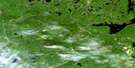
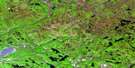
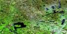
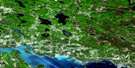
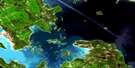
Kindiogami Lake Satellite Image Map
Download Free Aerial Photo 041J15 at 1:50,000 scale
Kindiogami Lake Satellite Imagery
To view this satellite map, mouse over the air photo on the right.
You can also download this satellite image map for free:
041J15 Kindiogami Lake high-resolution satellite image map.
Maps for the Kindiogami Lake aerial map sheet 041J15 at 1:50,000 scale are also available in these versions:
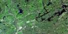
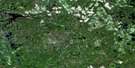
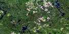
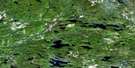
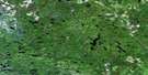
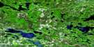
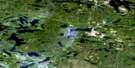
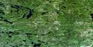
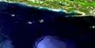
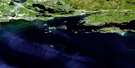
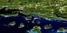
Kindiogami Lake Surrounding Area Aerial Photo Maps
 |
 |
 |
 |
 |
 |
 |
 |
 |
 |
 |
 |
 |
 |
 |
 |
© Department of Natural Resources Canada. All rights reserved.
Kindiogami Lake Gazetteer
The following places can be found on satellite image map 041J15 Kindiogami Lake:
Kindiogami Lake Satellite Image: Bays
Rouelle BayKindiogami Lake Satellite Image: Geographical areas
2A2B
2C
3A
3B
3C
4A
4B
4C
5A
5B
5C
Algoma
Assad
Assef
Comox
Fabbro
Landriault
Meen
Morningstar
Nuttall
P
Parrott
R
Royal
Ruston
S
Scrivener
Shulman
Slievert
Sudbury
T
Thorp
Tweedle
V
Vance
W
Winkler
Wiseman
Worton
X
Y
Yaremko
Kindiogami Lake Satellite Image: Lakes
Army LakeBark Lake
Bay Lake
Beyond Lake
Bierce Lake
Blind Lake
Blue Pine Lake
Boland Lake
Clara Lake
Crain Lake
Dagwood Lake
Dubbelewe Lake
Esker Lake
Eve Lake
Finger Lake
Flag Lake
Friday Lake
Hatchet Lake
Kindiogami Lake
Marty Lake
Mewburn Lake
Mill Lake
Moccasin Lake
Moonshine Lake
Navy Lake
Oval Lake
Petre Lake
Portelance Lake
Red Lake
River Lake
Rocky Island Lake
Salvage Lake
Shoepack Lake
Sleepy Lake
Spear Lake
Threebee Lake
Toobee Lake
Toosee Lake
Upper Bark Lake
Wrench Lake
Kindiogami Lake Satellite Image: Conservation areas
Mississagi River Provincial ParkKindiogami Lake Satellite Image: Rapids
Hellgate RapidsKindiogami Lake Satellite Image: Rivers
Abinette RiverBoland River
Cypress River
Dougall Creek
Kindiogami River
Little Kindiogami River
Little White River
Mississagi River
Shoe Creek
Kindiogami Lake Satellite Image: Road features
Hellgate Portage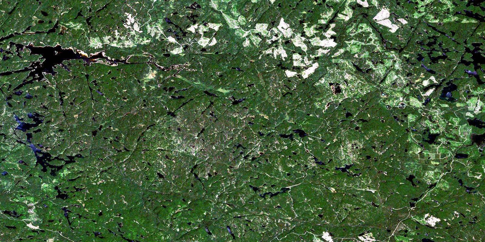
© Department of Natural Resources Canada. All rights reserved.
041J Related Maps:
041J Blind River041J01 Spanish
041J02 Algoma
041J03 Dean Lake
041J04 St Joseph Island
041J05 Bruce Mines
041J06 Iron Bridge
041J07 Elliot Lake
041J08 Whiskey Lake
041J09 Madawanson Lake
041J10 Rawhide Lake
041J11 Wakomata Lake
041J12 Echo Lake
041J13 Ranger Lake
041J14 Rocky Island Lake
041J15 Kindiogami Lake
041J16 Mozhabong Lake
