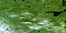
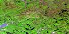
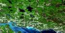
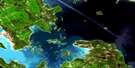
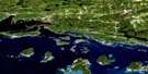
St Joseph Island Satellite Image Map
Download Free Aerial Photo 041J04 at 1:50,000 scale
St Joseph Island Satellite Imagery
To view this satellite map, mouse over the air photo on the right.
You can also download this satellite image map for free:
041J04 St Joseph Island high-resolution satellite image map.
Maps for the St Joseph Island aerial map sheet 041J04 at 1:50,000 scale are also available in these versions:
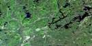
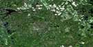
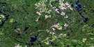
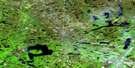
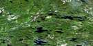
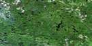
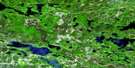
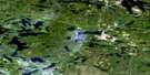
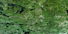
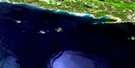
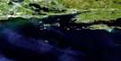
St Joseph Island Surrounding Area Aerial Photo Maps
 |
 |
 |
 |
 |
 |
 |
 |
 |
 |
 |
 |
 |
 |
 |
 |
© Department of Natural Resources Canada. All rights reserved.
St Joseph Island Gazetteer
The following places can be found on satellite image map 041J04 St Joseph Island:
St Joseph Island Satellite Image: Bays
Brickyard BayBrown's Bay
Garside Bay
Hamilton Bay
James Bay
Jocko Bay
Lyon Cove
McMenomy Bay
McMenomy Bay
Milford Haven
Moffat Bay
Mosquito Bay
Mosquito Bay
Potagannissing Bay
Richmond Bay
Sterling Bay
Tenby Bay
Whiskey Bay
Worsley Bay
St Joseph Island Satellite Image: Capes
Barton's PointBig Point
Burnt Point
Caradoc Point
Collins Point
Elliot Point
Graveyard Point
Hay Point
Koshkawong Point
La Pointe
Old Fort St. Joe Point
Pecks Point
Rains Point
Recollet Point
Richmond Point
Sandy Point
Thessalon Point
Whiskey Point
Whitman Point
St Joseph Island Satellite Image: Channels
North ChannelSt. Joseph Channel
St Joseph Island Satellite Image: Geographical areas
AlgomaHilton
Jocelyn
Plummer Additional
St. Joseph
Thessalon
St Joseph Island Satellite Image: Islands
Archibald IslandBeef Island
Birch Island
Calf Island
Cedar Island
Clinton Island
Colville Island
Duncan Island
Emily Island
Fox Island
Gull Island
Hog Island
Janden Island
Maggs Island
Milford Island
North Seine Island
O'Donnell Island
Outlaw Islands
Perrique Island
Pirate Island
Salt Island
Serpent Island
South Seine Island
St. Joseph Island
Sulphur Island
Thessalon Island
Wallace Island
Wawa Island
St Joseph Island Satellite Image: Lakes
Caufield LakeDeer Lake
Hans Lake
Hilton Lake
Lac Huron
Mountain Lake
Munuscong Lake
Rains Lake
Twin Lakes
St Joseph Island Satellite Image: Other municipal/district area - miscellaneous
Day and Bright AdditionalHilton
Huron Shores
Jocelyn
Plummer Additional
St. Joseph
Thessalon
Thompson
St Joseph Island Satellite Image: Conservation areas
Fort St. Joseph National Historic Site of CanadaHilton Township Wilderness Area
Lieu historique national du Canada du Fort-St. Joseph
Refuge d'oiseaux de l'Île St.-Joseph
St. Joseph's Island Bird Sanctuary
St Joseph Island Satellite Image: Rivers
Brown's CreekGordon Creek
Koshkawong River
Milford Haven Creek
Rivière Ste-Marie
St. Mary River
St. Marys River
Sucker Creek
Watson Creek
St Joseph Island Satellite Image: Shoals
Aurora BankBarrett Bank
Chippewa Bank
Dyment Rock
Fly Rock
Horne Rock
Ironsides Reef
Kangaroo Rock
Maggie Rock
O'Donnell Bank
Ontario Bank
Sam Smith Rock
Shepherd Reef
South Bank
West Rock
St Joseph Island Satellite Image: Towns
ThessalonSt Joseph Island Satellite Image: Unincorporated areas
Beech BeachCarterton
Milford Haven
Nesterville
Outlook
Tenby Bay
St Joseph Island Satellite Image: Low vegetation
Hay MarshSt Joseph Island Satellite Image: Villages
Hilton Beach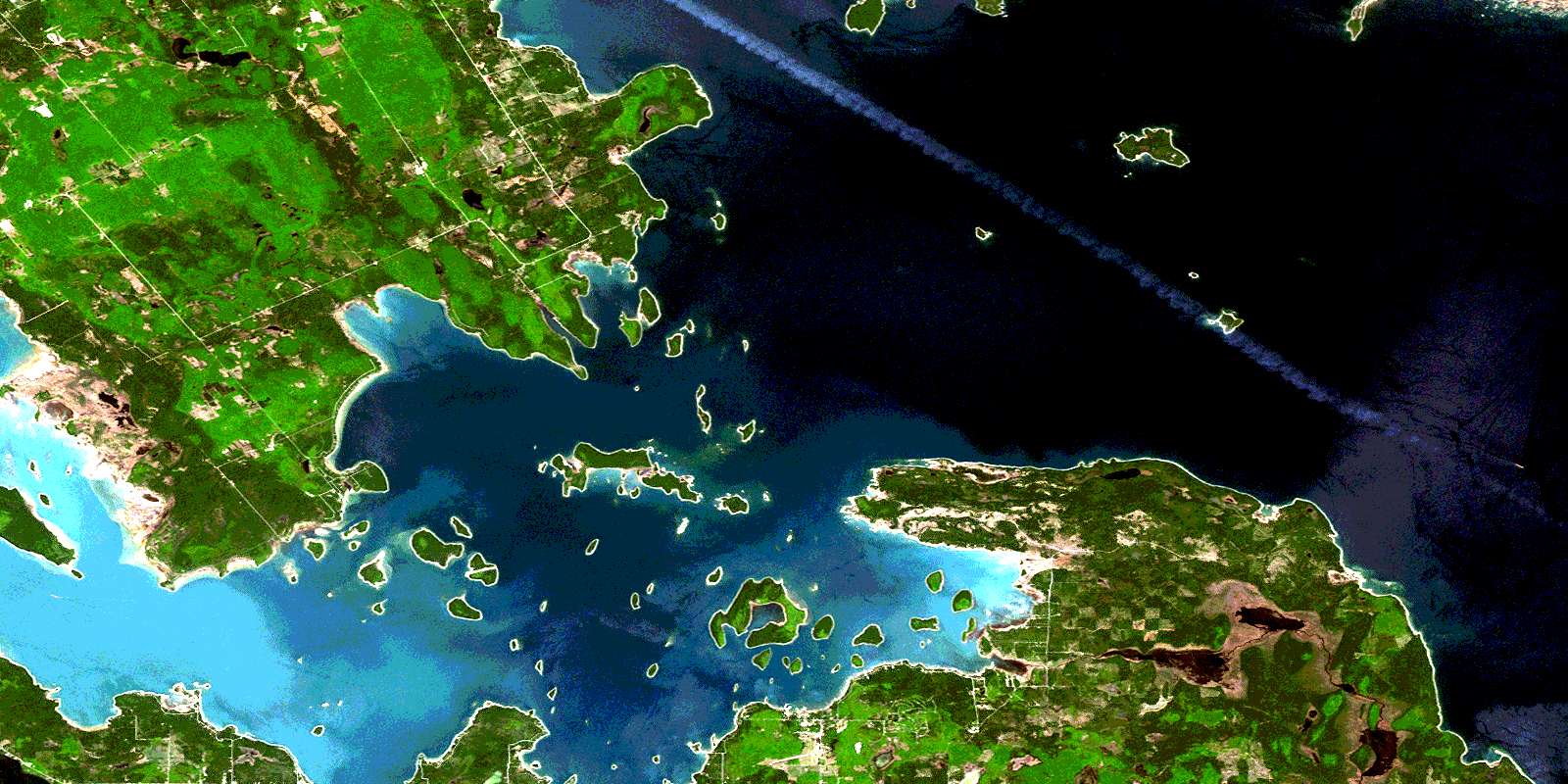
© Department of Natural Resources Canada. All rights reserved.
041J Related Maps:
041J Blind River041J01 Spanish
041J02 Algoma
041J03 Dean Lake
041J04 St Joseph Island
041J05 Bruce Mines
041J06 Iron Bridge
041J07 Elliot Lake
041J08 Whiskey Lake
041J09 Madawanson Lake
041J10 Rawhide Lake
041J11 Wakomata Lake
041J12 Echo Lake
041J13 Ranger Lake
041J14 Rocky Island Lake
041J15 Kindiogami Lake
041J16 Mozhabong Lake
