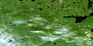
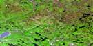
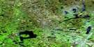
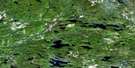
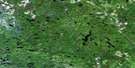
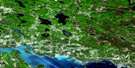
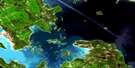
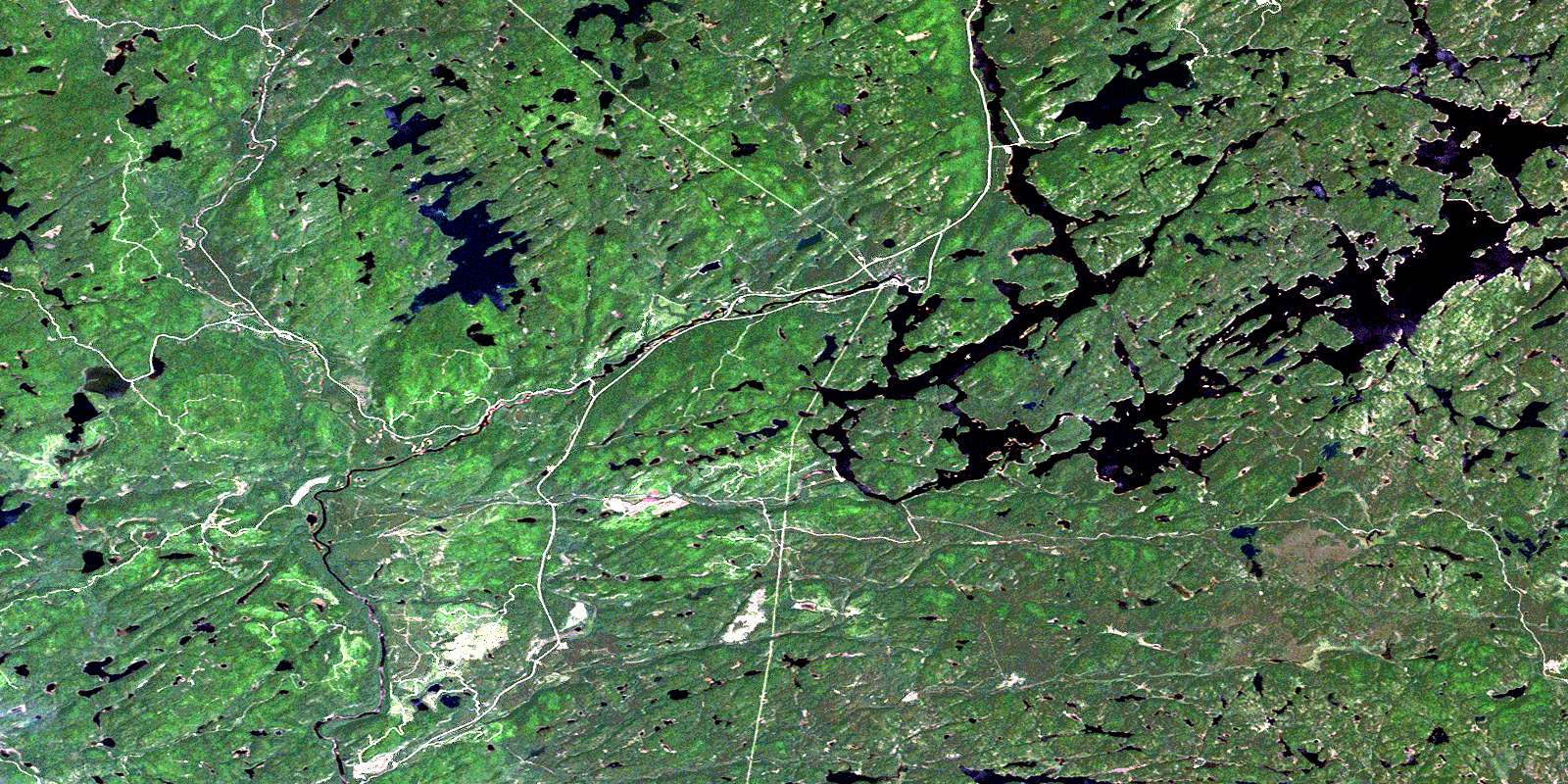
Rocky Island Lake Satellite Image Map
Download Free Aerial Photo 041J14 at 1:50,000 scale
Rocky Island Lake Satellite Imagery
To view this satellite map, mouse over the air photo on the right.
You can also download this satellite image map for free:
041J14 Rocky Island Lake high-resolution satellite image map.
Maps for the Rocky Island Lake aerial map sheet 041J14 at 1:50,000 scale are also available in these versions:
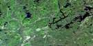
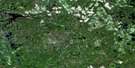
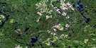
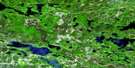
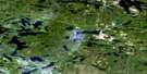
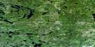
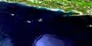
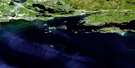
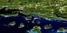
Rocky Island Lake Surrounding Area Aerial Photo Maps
 |
 |
 |
 |
 |
 |
 |
 |
 |
 |
 |
 |
 |
 |
 |
 |
© Department of Natural Resources Canada. All rights reserved.
Rocky Island Lake Gazetteer
The following places can be found on satellite image map 041J14 Rocky Island Lake:
Rocky Island Lake Satellite Image: Bays
Fenner BayRouelle Bay
Seven Mile Bay
South Bay
Tidy Bay
Rocky Island Lake Satellite Image: Falls
Aubrey FallsRocky Island Lake Satellite Image: Geographical areas
1962C
2D
2E
2F
3C
3D
3E
3F
3G
4C
4D
4E
4F
4G
5C
5D
5E
5F
5G
Algoma
Cuthbertson
Maeck
Martel
McIlveen
McNie
Meen
Reilly
Renwick
Rioux
Rollins
Root
Royal
Simons
Slievert
Snow
Sturgeon
Timbrell
Villeneuve
Wardle
Winkler
Rocky Island Lake Satellite Image: Lakes
Aubrey LakeBesley Lake
Blowdown Lake
Boomerang Lake
Boyer Lake
Brown Lake
Burnt Lake
Charette Lake
Clay Lake
Daystar Lake
Doull Lake
East Lake
Elf Lake
Foref Lake
Hazel Lake
Heal Lake
Higher Lake
Horseshoe Lake
Hyt Lake
Jones Lake
Labelle Lake
Laurence Lake
Lelonde Lake
Magrath Lake
Marten Lake
Mashagama Lake
McClung Lake
Medcalf Lake
Muskwash Lake
Ogston Lake
Opal Lake
Penelope Lake
Peshu Lake
Rainy Lake
Ranger Lake
Rimrock Lake
Rock Lake
Rocky Island Lake
Sawbill Lake
Saymo Lake
Seabrook Lake
Sesabic Lake
Seymour Lake
Sigel Lake
Skintent Lake
Smoky Lake
Spike Lake
Spot Lake
Strawberry Lake
Three Lakes
Toodee Lake
Trolling Lake
Vaporem Lake
West Lake
Rocky Island Lake Satellite Image: Conservation areas
Aubrey Falls Provincial ParkRocky Island Lake Satellite Image: Rivers
Aubinadong RiverBierce Creek
Black Creek
Dougall Creek
Duval Creek
Little Rapid River
Little Trout Creek
Mashagama Creek
Mississagi River
Muskwash Creek
Peshu Creek
Rapid River
Rimrock Creek
Sesabic Creek
Sharpsand River
Skintent Creek
Spike Creek
Vaporem Creek
Wenebegon River
West Aubinadong River
© Department of Natural Resources Canada. All rights reserved.
041J Related Maps:
041J Blind River041J01 Spanish
041J02 Algoma
041J03 Dean Lake
041J04 St Joseph Island
041J05 Bruce Mines
041J06 Iron Bridge
041J07 Elliot Lake
041J08 Whiskey Lake
041J09 Madawanson Lake
041J10 Rawhide Lake
041J11 Wakomata Lake
041J12 Echo Lake
041J13 Ranger Lake
041J14 Rocky Island Lake
041J15 Kindiogami Lake
041J16 Mozhabong Lake
