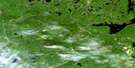
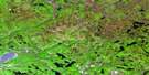
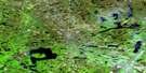
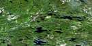
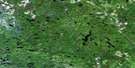
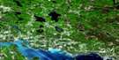
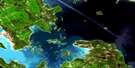
Mozhabong Lake Satellite Image Map
Download Free Aerial Photo 041J16 at 1:50,000 scale
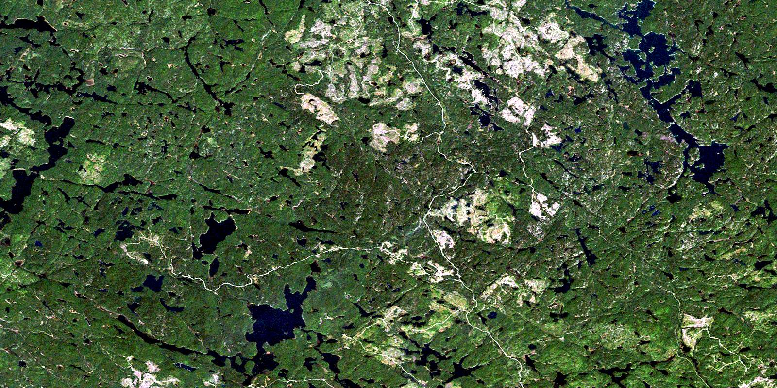
Mozhabong Lake Satellite Imagery
To view this satellite map, mouse over the air photo on the right.
You can also download this satellite image map for free:
041J16 Mozhabong Lake high-resolution satellite image map.
Maps for the Mozhabong Lake aerial map sheet 041J16 at 1:50,000 scale are also available in these versions:
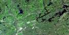
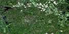
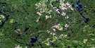
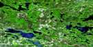
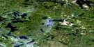
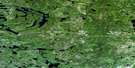
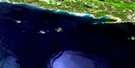
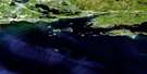
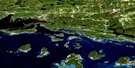
Mozhabong Lake Surrounding Area Aerial Photo Maps
 |
 |
 |
 |
 |
 |
 |
 |
 |
 |
 |
 |
 |
 |
 |
 |
© Department of Natural Resources Canada. All rights reserved.
Mozhabong Lake Gazetteer
The following places can be found on satellite image map 041J16 Mozhabong Lake:
Mozhabong Lake Satellite Image: Bays
Duncan BayIrene Bay
Southwest Bay
Mozhabong Lake Satellite Image: Channels
Moose NarrowsMozhabong Lake Satellite Image: Geographical areas
AlgomaAlton
Assad
Avis
B
Beebe
C
Comox
D
Del Villano
Durban
Ethel
F
Fabbro
Fontaine
Foucault
G
Gervais
H
Hotte
J
Jasper
K
L
Landriault
Lefebvre
Monestime
N
O
Olinyk
Oshell
R
S
Sudbury
T
Mozhabong Lake Satellite Image: Lakes
Airport LakeAlces Lake
Armstrong Lake
Bark Lake
Barn Lake
Boumage Lake
Bullfrog Lake
Centralis Lake
Dumbell Lake
Dusty Lake
Ernie Lake
Expanse Lake
Fifty-five Mile Lake
Five Star Lake
Frying Pan Lake
Hider Lake
Ira Lake
Jackson Lake
Jeanne Lake
Labitiche Lake
Lac aux Sables
Lidstone Lake
Little Beaver Lake
Long Lake
Lower Ritchie Lake
Mile Lake
Mink Lake
Moon Lake
Mozhabong Lake
Poupore Lake
Red Elk Lake
Ritchie Lake
Russian Lake
Shag Lake
Shakwa Lake
Sportsman Lake
Supple Lake
Surveyor Lake
Trevor Lake
Upper Bark Lake
Wenn Lake
West Spanish Lake
Mozhabong Lake Satellite Image: Conservation areas
Mississagi River Provincial ParkMozhabong Lake Conservation Reserve
Mozhabong Lake Satellite Image: Rivers
Alces CreekBoland River
Cee Creek
Centralis Creek
Dumbell Creek
Mississagi River
Norfolk Creek
Red Elk Creek
Tasker Creek
Trevor Creek
Wakonassin River
© Department of Natural Resources Canada. All rights reserved.
041J Related Maps:
041J Blind River041J01 Spanish
041J02 Algoma
041J03 Dean Lake
041J04 St Joseph Island
041J05 Bruce Mines
041J06 Iron Bridge
041J07 Elliot Lake
041J08 Whiskey Lake
041J09 Madawanson Lake
041J10 Rawhide Lake
041J11 Wakomata Lake
041J12 Echo Lake
041J13 Ranger Lake
041J14 Rocky Island Lake
041J15 Kindiogami Lake
041J16 Mozhabong Lake
