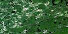
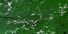
Wakami Lake Satellite Image Map
Download Free Aerial Photo 041O07 at 1:50,000 scale
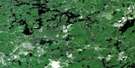
Wakami Lake Satellite Imagery
To view this satellite map, mouse over the air photo on the right.
You can also download this satellite image map for free:
041O07 Wakami Lake high-resolution satellite image map.
Maps for the Wakami Lake aerial map sheet 041O07 at 1:50,000 scale are also available in these versions:
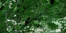
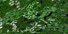
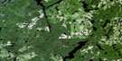
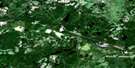
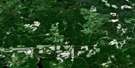
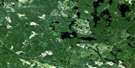
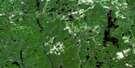
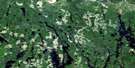
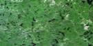
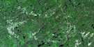
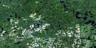
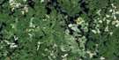
Wakami Lake Surrounding Area Aerial Photo Maps
 |
 |
 |
 |
 |
 |
 |
 |
 |
 |
 |
 |
 |
 |
 |
 |
© Department of Natural Resources Canada. All rights reserved.
Wakami Lake Gazetteer
The following places can be found on satellite image map 041O07 Wakami Lake:
Wakami Lake Satellite Image: Geographical areas
10A10B
10C
11B
11C
19
8A
8B
8C
8Z
9A
9B
9C
9Z
Bounsall
Braithwaite
Bullbrook
Burr
Ceylon
Drea
Dukszta
Eaton
Edighoffer
Faust
Hong Kong
Hubbard
Kelsey
Lynch
Neelands
Shipley
Singapore
Strom
Sudbury
Symington
Wakami
Wakami Lake Satellite Image: Lakes
Bragh LakeBuckshot Lake
Cartier Lake
Clement Lake
East Wakami Lake
Efby Lake
Embarass Lake
Ember Lake
Frechette Lake
Helen Lake
Hubbard Lake
Imakaw Lake
Kebskwasheshi Lake
Lebel Lake
Little Wakami Lake
Mack Lake
McCallum Lake
Memoir Lake
Nineay Lake
North Embarass Lake
Pear Lake
Putnam Lake
Robinson Lake
Shannon Lake
Sheguat Lake
Wahsegami Lake
Wakami Lake
Wasasinka Lake
Weedy Lake
West Abinette Lake
Wolverine Lake
Woman Lake
Wakami Lake Satellite Image: Conservation areas
Wakami Lake Provincial ParkWoman River Forest Provincial Park
Wakami Lake Satellite Image: Rivers
Bardney CreekBuckshot Creek
Embarass River
Frechette Creek
Hubbard Creek
Kebskwasheshi River
Little Wakami River
Mississagi River
Robinson Creek
Spanish River
Turnbull Creek
Wakami River
West Abinette River
Woman River
Wakami Lake Satellite Image: Unincorporated areas
Woman River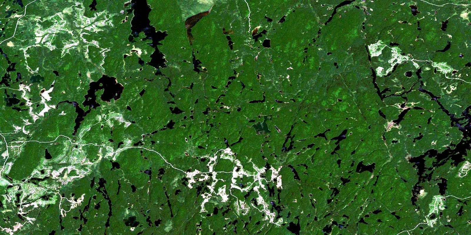
© Department of Natural Resources Canada. All rights reserved.
041O Related Maps:
041O Chapleau041O01 Indian Lake
041O02 White Owl Lake
041O03 Mountain Ash Lake
041O04 Welcome Lake
041O05 Bulley Lake
041O06 Wenebegon Lake
041O07 Wakami Lake
041O08 Biscotasing
041O09 Opeepeesway Lake
041O10 Sultan
041O11 Nemegos
041O12 Graveyard Lake
041O13 Nicholson
041O14 Chapleau
041O15 Rollo Lake
041O16 Rush Lake
