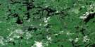
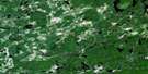
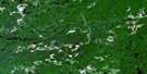
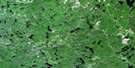
Opeepeesway Lake Satellite Image Map
Download Free Aerial Photo 041O09 at 1:50,000 scale
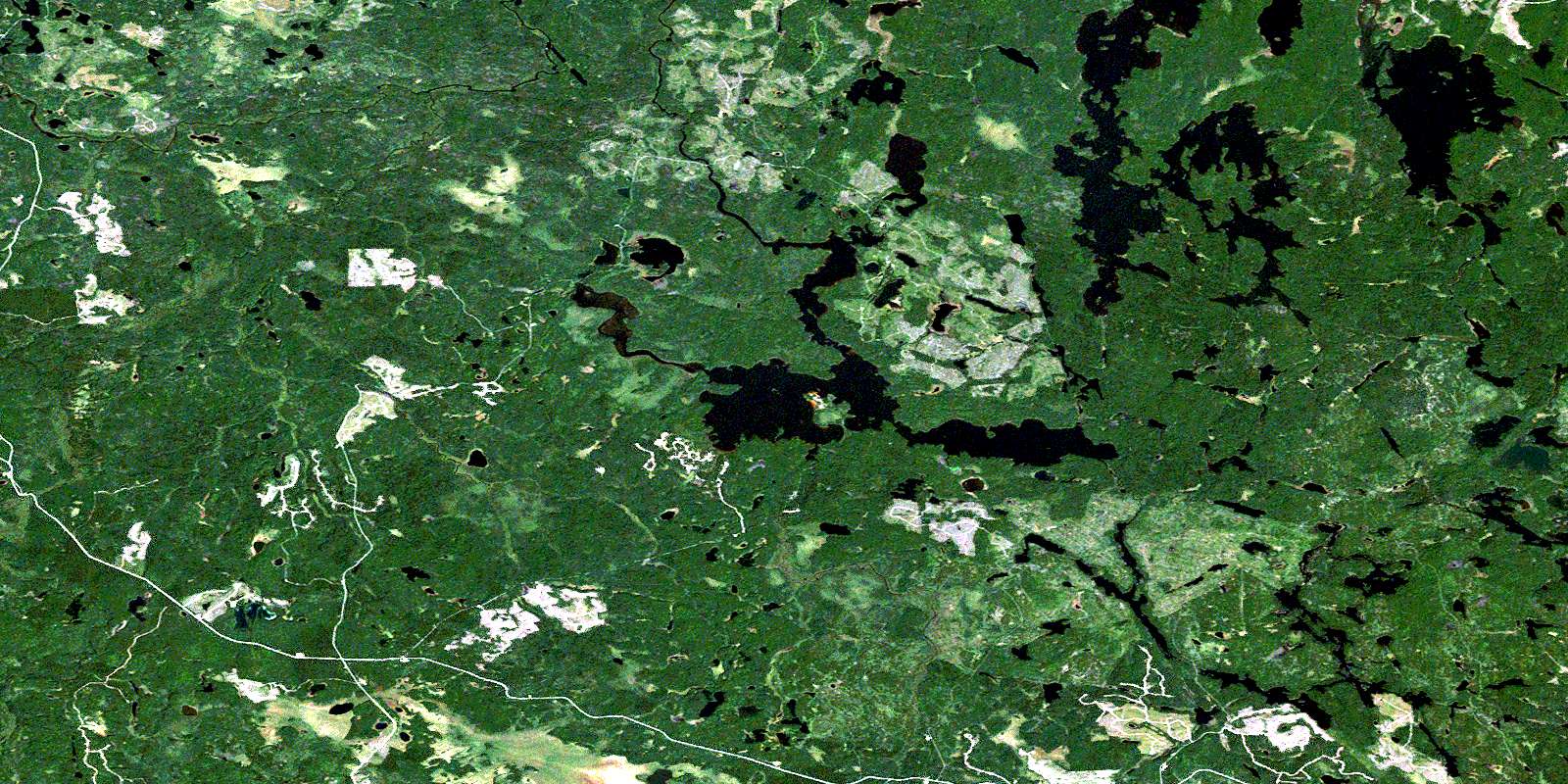
Opeepeesway Lake Satellite Imagery
To view this satellite map, mouse over the air photo on the right.
You can also download this satellite image map for free:
041O09 Opeepeesway Lake high-resolution satellite image map.
Maps for the Opeepeesway Lake aerial map sheet 041O09 at 1:50,000 scale are also available in these versions:
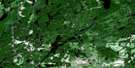
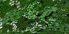
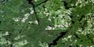
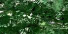
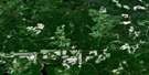
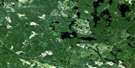
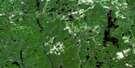
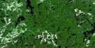
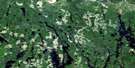
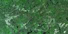
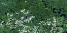
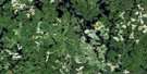
Opeepeesway Lake Surrounding Area Aerial Photo Maps
 |
 |
 |
 |
 |
 |
 |
 |
 |
 |
 |
 |
 |
 |
 |
 |
© Department of Natural Resources Canada. All rights reserved.
Opeepeesway Lake Gazetteer
The following places can be found on satellite image map 041O09 Opeepeesway Lake:
Opeepeesway Lake Satellite Image: Bays
East ArmNorth Arm
Northwest Arm
Opeepeesway Lake Satellite Image: Capes
Cipway PointJerome Point
Monella Point
Opeepeesway Lake Satellite Image: Geographical areas
ArbutusBenton
Edith
Eric
Esther
Fawn
Fingal
Frater
Garnet
Hong Kong
Huffman
Mallard
Osway
Potier
Sudbury
Yeo
Opeepeesway Lake Satellite Image: Lakes
Arbutus LakeAsh Lake
Baerr Lake
Bear Lake
Beckett Lake
Billie Lake
Bithrey Lake
Boundary Lake
Burke Pond
Camp Lake
Canoe Lake
Cordes Lake
Crabtree Lake
Dismal Lake
Eade Lake
Elmes Lake
Felix Lake
Foster Lake
Huffman Lake
Little Arbutus Lake
Little Rice Lake
Mallard Lake
Marion Lake
McBain Lake
Mick Lake
Moore Lake
Mouse Lake
Opeepeesway Lake
Owatawetnes Lake
Pebonishewi Lake
Potier Lake
Rae Lake
Rat Lake
Rice Lake
Rush Lake
Satterly Lake
Schist Lake
Schou Lake
September Lake
Shallow Lake
Silva Lake
Squawman Lake
Stony Lake
Trail Lake
Vichaw Lake
Vivian Lakes
Wenakoshi Lake
Windy Lake
Wolf Lake
Yeo Lake
Opeepeesway Lake Satellite Image: Rivers
Angus CreekCordes River
Fawn Creek
Little Rush River
Little Somme River
Opeepeesway River
Ramsay Creek
Ramsey Creek
Rice River
Satterly Creek
Somme River
Wakami River
Woman River
Yeo Creek
Opeepeesway Lake Satellite Image: Unincorporated areas
JeromeWoman River
© Department of Natural Resources Canada. All rights reserved.
041O Related Maps:
041O Chapleau041O01 Indian Lake
041O02 White Owl Lake
041O03 Mountain Ash Lake
041O04 Welcome Lake
041O05 Bulley Lake
041O06 Wenebegon Lake
041O07 Wakami Lake
041O08 Biscotasing
041O09 Opeepeesway Lake
041O10 Sultan
041O11 Nemegos
041O12 Graveyard Lake
041O13 Nicholson
041O14 Chapleau
041O15 Rollo Lake
041O16 Rush Lake
