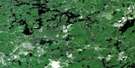
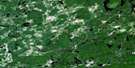
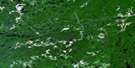
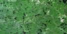
Sultan Satellite Image Map
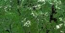
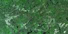
Download Free Aerial Photo 041O10 at 1:50,000 scale
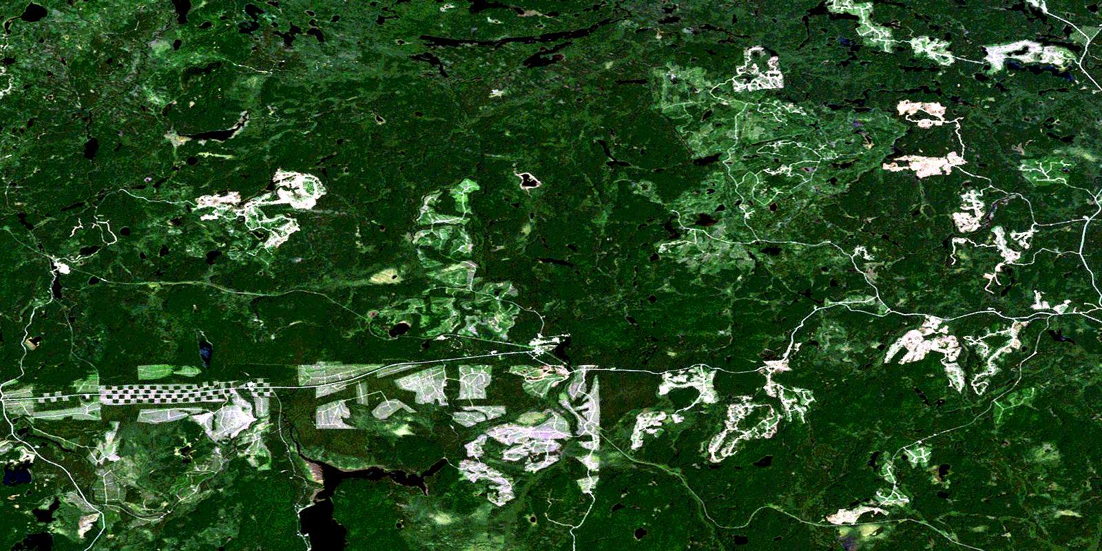
Sultan Satellite Imagery
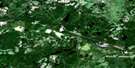
To view this satellite map, mouse over the air photo on the right.
You can also download this satellite image map for free:
041O10 Sultan high-resolution satellite image map.
Maps for the Sultan aerial map sheet 041O10 at 1:50,000 scale are also available in these versions:
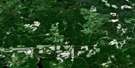
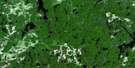
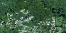
Sultan Surrounding Area Aerial Photo Maps
 |
 |
 |
 |
 |
 |
 |
 |
 |
 |
 |
 |
 |
 |
 |
 |
© Department of Natural Resources Canada. All rights reserved.
Sultan Gazetteer
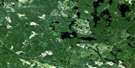
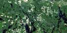
The following places can be found on satellite image map 041O10 Sultan:
Sultan Satellite Image: Bays
Brown's BaySultan Satellite Image: Geographical areas
11B11C
19
22
Blamey
Cunningham
de Gaulle
Eisenhower
Fawn
Garnet
Greenlaw
Hong Kong
Kaplan
Mountbatten
Neelands
Shipley
Strom
Sudbury
Tooms
Wakami
Sultan Satellite Image: Indian Reserves
Mountbatten Indian Reserve 76ARéserve indienne Mountbatten 76A
Sultan Satellite Image: Lakes
Allen LakeAngus Lake
Beavertail Lake
Betty Lake
Buhl Lake
Clement Lake
Edmond Lake
Edwards Lake
Emmons Lake
Florence Lake
Garnet Lake
Gertrude Lake
Hamilton Lake
Heather Lake
Hepburn Lake
Hotstone Lake
Isaiah Lake
Kinogama Lake
Korpela Lake
Kostka Lake
Lee Lake
Lett Lake
Little Ridout Lake
McAuley Lake
Memoir Lake
Mink Lake
Minnow Lake
Peter Lake
Pot Lake
Ransom Lake
Ridout Lake
Santimaw Lake
Sawbill Lake
Sultan Lake
Tersus Lake
Tooms Lake
Travel Lake
Upper Sylvanite Lake
Valois Lake
Wakami Lake
Woman Lake
Yarwood Lake
Zeph Lake
Sultan Satellite Image: Conservation areas
Wakami Lake Provincial ParkSultan Satellite Image: Rivers
Angus CreekEmmons Creek
Fawn Creek
Isaiah Creek
Kebskwasheshi River
Kinogama River
Little Wakami River
Ridout River
Spring Creek
Sultan Creek
Sylvanite Creek
Tony Creek
Valois Creek
Wakami River
Woman River
Sultan Satellite Image: Unincorporated areas
AubreyKormak
Ridout
Sultan
Wakami
Woman River
© Department of Natural Resources Canada. All rights reserved.
041O Related Maps:
041O Chapleau041O01 Indian Lake
041O02 White Owl Lake
041O03 Mountain Ash Lake
041O04 Welcome Lake
041O05 Bulley Lake
041O06 Wenebegon Lake
041O07 Wakami Lake
041O08 Biscotasing
041O09 Opeepeesway Lake
041O10 Sultan
041O11 Nemegos
041O12 Graveyard Lake
041O13 Nicholson
041O14 Chapleau
041O15 Rollo Lake
041O16 Rush Lake
