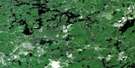
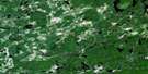
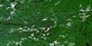
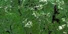
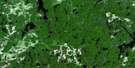
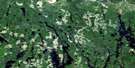
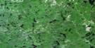
Indian Lake Satellite Image Map
Download Free Aerial Photo 041O01 at 1:50,000 scale
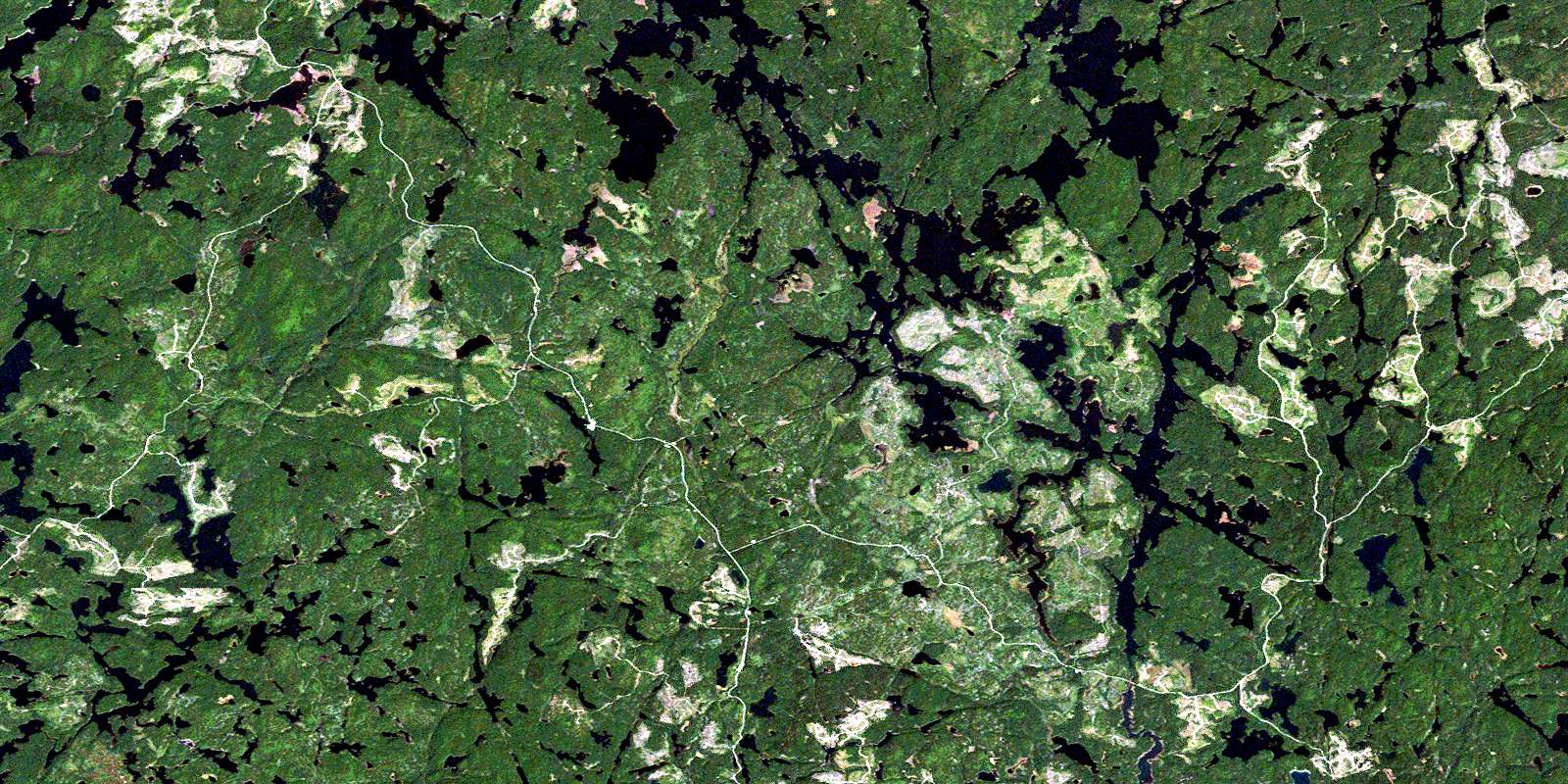
Indian Lake Satellite Imagery
To view this satellite map, mouse over the air photo on the right.
You can also download this satellite image map for free:
041O01 Indian Lake high-resolution satellite image map.
Maps for the Indian Lake aerial map sheet 041O01 at 1:50,000 scale are also available in these versions:
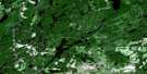
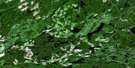
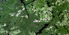
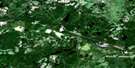
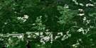
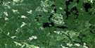
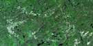
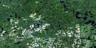
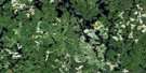
Indian Lake Surrounding Area Aerial Photo Maps
 |
 |
 |
 |
 |
 |
 |
 |
 |
 |
 |
 |
 |
 |
 |
 |
© Department of Natural Resources Canada. All rights reserved.
Indian Lake Gazetteer
The following places can be found on satellite image map 041O01 Indian Lake:
Indian Lake Satellite Image: Bays
Boyuk BayDuncan Bay
Earl Bay
Longspur Bay
Metagama Bay
O'Neil Bay
Sloppy Bay
Southern Bay
Tasker Bay
Indian Lake Satellite Image: Geographical areas
68
9
Abney
Alton
Bazett
Comox
Cortez
Durban
Earl
Elizabeth
Ethel
Fulton
Gladwin
Hubbard
Iris
Ivy
Jasper
Kelso
Lillie
Margaret
McPhail
Specht
Sudbury
Indian Lake Satellite Image: Islands
Hog IslandIndian Lake Satellite Image: Lakes
Alton LakeAnchor Lake
Bardney Lake
Beartrack Lake
Bend Lake
Between Lake
Biscotasi Lake
Buck Lake
Cadden Lake
Calbeck Lake
Como Lake
Cortez Lake
Corvec Lake
Deluge Lake
Dorigo Lake
Doubtful Lake
Drefal Lake
Durban Lake
Earl Lake
Elbow Lake
Fish Hawk Lake
Fradin Lake
Fraser Lake
Fricker Lake
Gladwin Lake
Hope Lake
Houghton Lake
Indian Lake
Irene Lake
Jasper Lake
Kashbogama Lake
Kelso Lake
Kettle Lake
Kirby Lake
Kitten Lake
Lamprey Lake
Limit Lake
Losian Lake
Loveday Lake
Mackie Lake
Marie Lake
Miniwaski Lake
Mishap Lake
Moonshine Lake
Mozhabong Lake
Myre Lake
Norma Lake
Phipps Lake
Ramsay Lake
Ramsey Lake
Red Pine Lake
Rochon Lake
Rose Lake
Salisbury Lake
Shanguish Lake
Sinker Lake
Skelton Lake
Soule Lake
Sulphur Lake
Swallow Lake
Syko Lake
Tasker Lake
Thorpe Lake
Upper Bark Lake
Verna Lake
Water Lake
White Pine Lake
Winnie Lake
Zak Lake
Indian Lake Satellite Image: Conservation areas
Mississagi River Provincial ParkMozhabong Lake Conservation Reserve
Indian Lake Satellite Image: Rivers
Bardney CreekBeartrack Creek
Comox Creek
Deluge Creek
Durban Creek
Fricker Creek
Gladwin Creek
Hogsback Channel
Ivy Creek
Kitten Creek
Miniwaski Creek
Mishap Creek
Mississagi River
Mozhabong River
Resinosa River
Sinaminda Creek
Sinker Creek
Tasker Creek
Wakonassin River
© Department of Natural Resources Canada. All rights reserved.
041O Related Maps:
041O Chapleau041O01 Indian Lake
041O02 White Owl Lake
041O03 Mountain Ash Lake
041O04 Welcome Lake
041O05 Bulley Lake
041O06 Wenebegon Lake
041O07 Wakami Lake
041O08 Biscotasing
041O09 Opeepeesway Lake
041O10 Sultan
041O11 Nemegos
041O12 Graveyard Lake
041O13 Nicholson
041O14 Chapleau
041O15 Rollo Lake
041O16 Rush Lake
