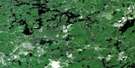
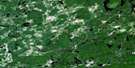
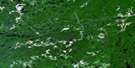
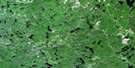
Bulley Lake Satellite Image Map
Download Free Aerial Photo 041O05 at 1:50,000 scale
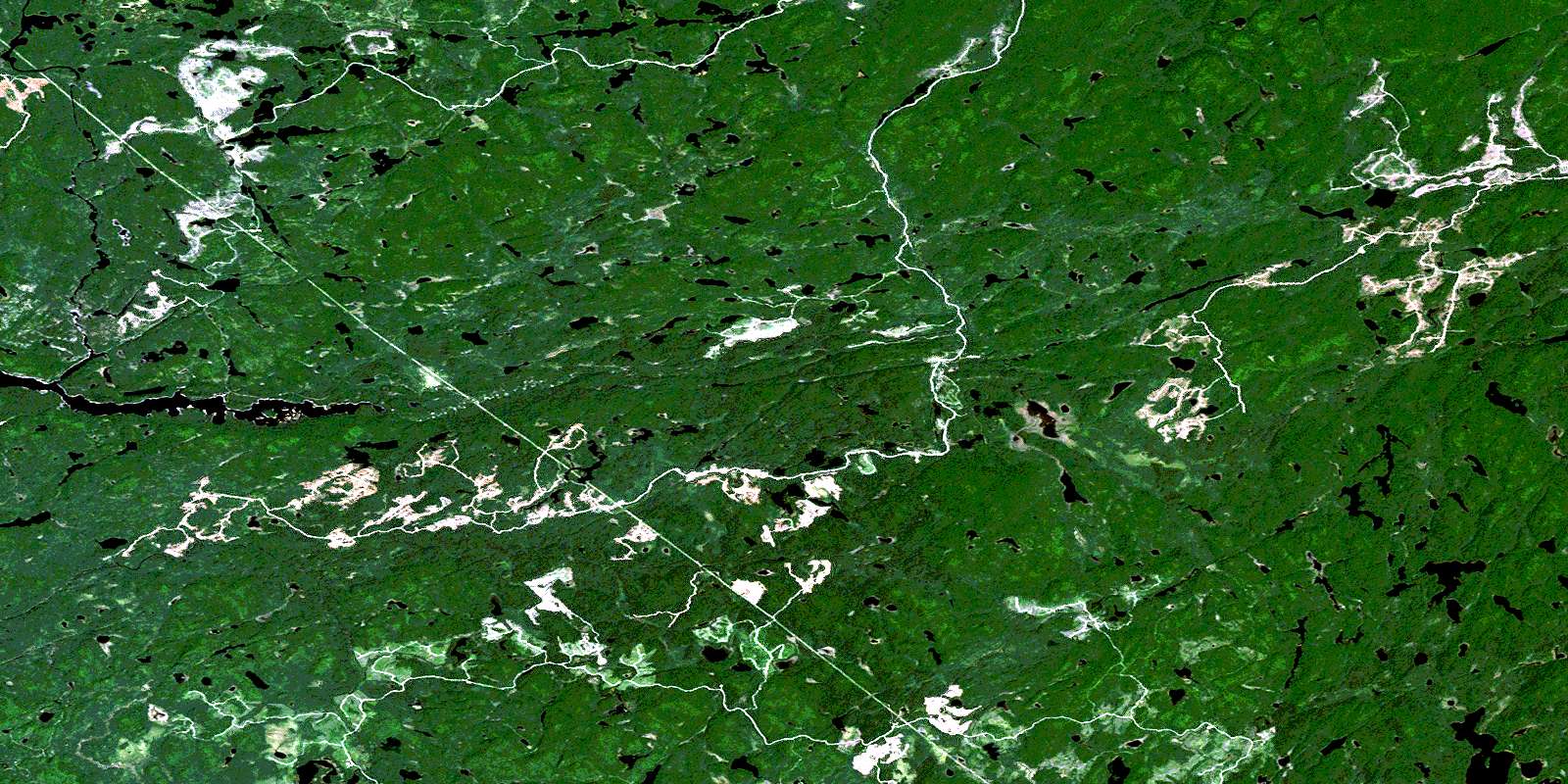
Bulley Lake Satellite Imagery
To view this satellite map, mouse over the air photo on the right.
You can also download this satellite image map for free:
041O05 Bulley Lake high-resolution satellite image map.
Maps for the Bulley Lake aerial map sheet 041O05 at 1:50,000 scale are also available in these versions:
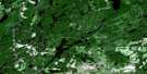
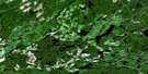
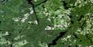
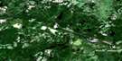
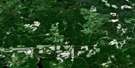
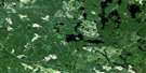
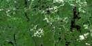
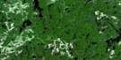
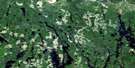
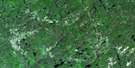
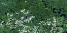
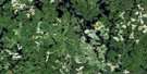
Bulley Lake Surrounding Area Aerial Photo Maps
 |
 |
 |
 |
 |
 |
 |
 |
 |
 |
 |
 |
 |
 |
 |
 |
© Department of Natural Resources Canada. All rights reserved.
Bulley Lake Gazetteer
The following places can be found on satellite image map 041O05 Bulley Lake:
Bulley Lake Satellite Image: Geographical areas
10G10H
11G
11H
22,15
22,16
22,17
22,18
23,15
23,16
23,17
23,18
24,15
24,16
24,17
24,18
8G
8H
9G
9H
Carton
Emiry
Engstrom
Fitzsimmons
Genier
Green
Hallett
Hammond
Hancock
Kosny
McParland
Moen
Moggy
Neill
Patenaude
Running
Schembri
Scriven
Sherratt
Sudbury
Vondette
Bulley Lake Satellite Image: Lakes
Adios LakeAlm Lake
Becor Lake
Bliss Lake
Bloor Lake
Brock Lake
Brutus Lake
Bucksaw Lake
Buckshee Lake
Bullbat Lake
Bulley Lake
Bunting Lake
Caesar Lake
Calf Lake
Camel Lake
Cap Lake
Chewink Lake
Chickadee Lake
Cork Lake
Cowichan Lake
Dud Lake
Eel Lake
Elgin Lake
Elma Lake
Espaniel Lake
Export Lake
False Lake
Farewell Lake
Farmer Lake
Flange Lake
Gord Lake
Groove Lake
Hail Lake
Halliday Lake
Hinton Lake
Hotspot Lake
Impasse Lake
Jigaboo Lake
Jog Lake
Keelow Lake
Kid Lake
Kistigan Lake
Lance Lake
Lawless Lake
Lawrence Lake
Lineus Lake
McLeod Lake
Megisan Lake
Muir Lake
Mutt Lake
Nackawic Lake
Neundorf Lake
Ninegee Lake
Nokomis Lake
North Emerson Lake
Oban Lake
Peewee Lake
Percy Lake
Perth Lake
Petrosky Lake
Pipit Lake
Poetry Lake
Pogey Lake
Short Lake
Shrike Lake
Sliver Lake
Tam Lake
Teal Lake
Tengee Lake
Toorie Lake
Troy Lake
Verse Lake
Wakaw Lake
Wedge Lake
Whiskey Jack Lake
Zorra Lake
Bulley Lake Satellite Image: Conservation areas
Ranger North Conservation ReserveBulley Lake Satellite Image: Rivers
Batchawana RiverBow Creek
Bulley Creek
Challener River
Convey Creek
Cow River
Dixon Creek
Emerson Creek
Farewell Creek
Goulais River
Keelow Creek
Lawrence Creek
Montreal River
Percy Creek
Pineal Creek
Summit Creek
Tikamaganda River
Toll Creek
Vacher Creek
Verse Creek
West Aubinadong River
© Department of Natural Resources Canada. All rights reserved.
041O Related Maps:
041O Chapleau041O01 Indian Lake
041O02 White Owl Lake
041O03 Mountain Ash Lake
041O04 Welcome Lake
041O05 Bulley Lake
041O06 Wenebegon Lake
041O07 Wakami Lake
041O08 Biscotasing
041O09 Opeepeesway Lake
041O10 Sultan
041O11 Nemegos
041O12 Graveyard Lake
041O13 Nicholson
041O14 Chapleau
041O15 Rollo Lake
041O16 Rush Lake
