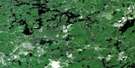
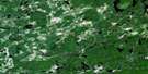
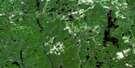
Rush Lake Satellite Image Map
Download Free Aerial Photo 041O16 at 1:50,000 scale
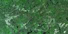
Rush Lake Satellite Imagery
To view this satellite map, mouse over the air photo on the right.
You can also download this satellite image map for free:
041O16 Rush Lake high-resolution satellite image map.
Maps for the Rush Lake aerial map sheet 041O16 at 1:50,000 scale are also available in these versions:
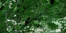
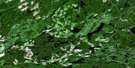
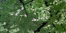
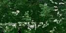
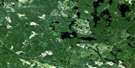
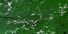
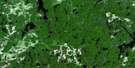
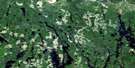
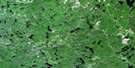
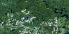
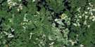
Rush Lake Surrounding Area Aerial Photo Maps
 |
 |
 |
 |
 |
 |
 |
 |
 |
 |
 |
 |
 |
 |
 |
 |
© Department of Natural Resources Canada. All rights reserved.
Rush Lake Gazetteer
The following places can be found on satellite image map 041O16 Rush Lake:
Rush Lake Satellite Image: Bays
Hardiman BayRush Lake Satellite Image: Capes
Horwood PeninsulaRush Lake Satellite Image: Geographical areas
BentonCoppell
Dale
DesRosiers
Dore
Eric
Frater
Gardhouse
Garnet
Genoa
Hardiman
Heenan
Horwood
Mallard
Marion
McOwen
Newton
Regan
Silk
Whigham
Rush Lake Satellite Image: Lakes
Alike LakeArbeesee Lake
Atekepi Lake
Babiche Lake
Cinqisle Lake
Claim Lake
Coppell Lake
Crossley Lake
Elongate Lake
Fool Lake
Forearm Lake
Freeman Lake
Genoa Lake
Gibb Lake
Gowagamak Lake
Great Pike Lake
Hardiman Lake
Harry Lake
Heenan Lake
Horwood Lake
Kesa Lake
Larrabee Lake
Lasucor Lake
Little Arbeesee Lake
Little Rush Lake
Longcome Lake
Marl Lake
McOwen Lake
Mills Lake
Newton Lake
Northcott Bay
Northpoint Lake
October Lake
Oldscamp Lake
Outside Lake
Pady Lake
Pebonishewi Lake
Pinnacle Lake
Puppet Lake
Reade Lake
Resound Lake
Rice Lake
Rush Lake
Scraggy Lake
Smithette Lake
Stangiff Lake
Strata Lake
Trailbreaker Lake
Triplex Lake
Turn Lake
Wenakoshi Lake
Rush Lake Satellite Image: Mountains
Delahey MountainRush Lake Satellite Image: Rivers
Alike RiverBent Creek
Coppell Creek
Genoa Creek
Heenan Creek
Katagi Creek
Marl Creek
Nat River
Newton Creek
Northpoint River
Opeepeesway River
Rice River
Rush River
Swayze River
Wenakoshi Creek
West Newton Creek
Woman River
Rush Lake Satellite Image: Unincorporated areas
Woman River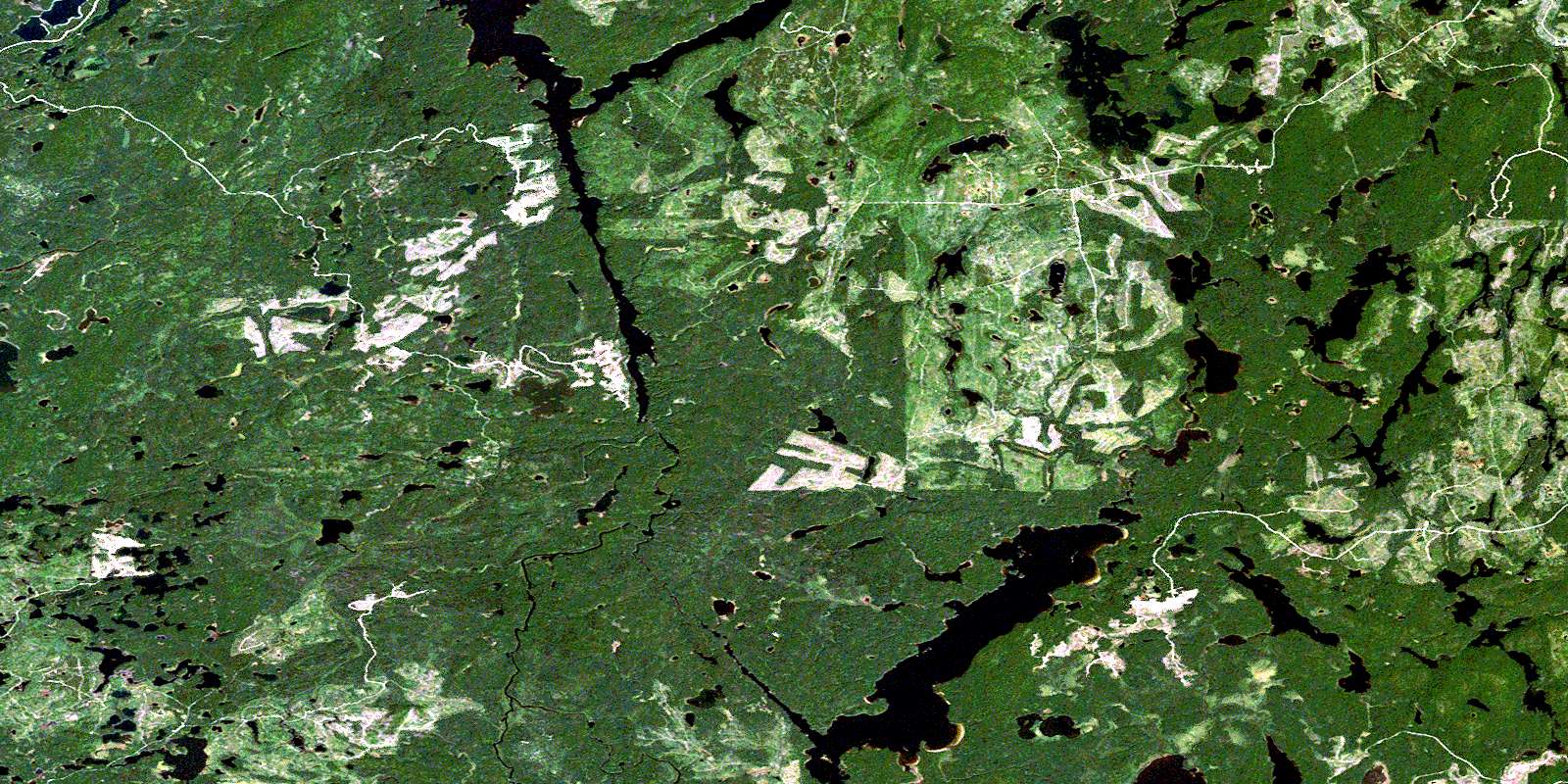
© Department of Natural Resources Canada. All rights reserved.
041O Related Maps:
041O Chapleau041O01 Indian Lake
041O02 White Owl Lake
041O03 Mountain Ash Lake
041O04 Welcome Lake
041O05 Bulley Lake
041O06 Wenebegon Lake
041O07 Wakami Lake
041O08 Biscotasing
041O09 Opeepeesway Lake
041O10 Sultan
041O11 Nemegos
041O12 Graveyard Lake
041O13 Nicholson
041O14 Chapleau
041O15 Rollo Lake
041O16 Rush Lake
