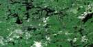
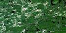
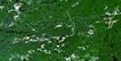
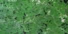
Welcome Lake Satellite Image Map
Download Free Aerial Photo 041O04 at 1:50,000 scale
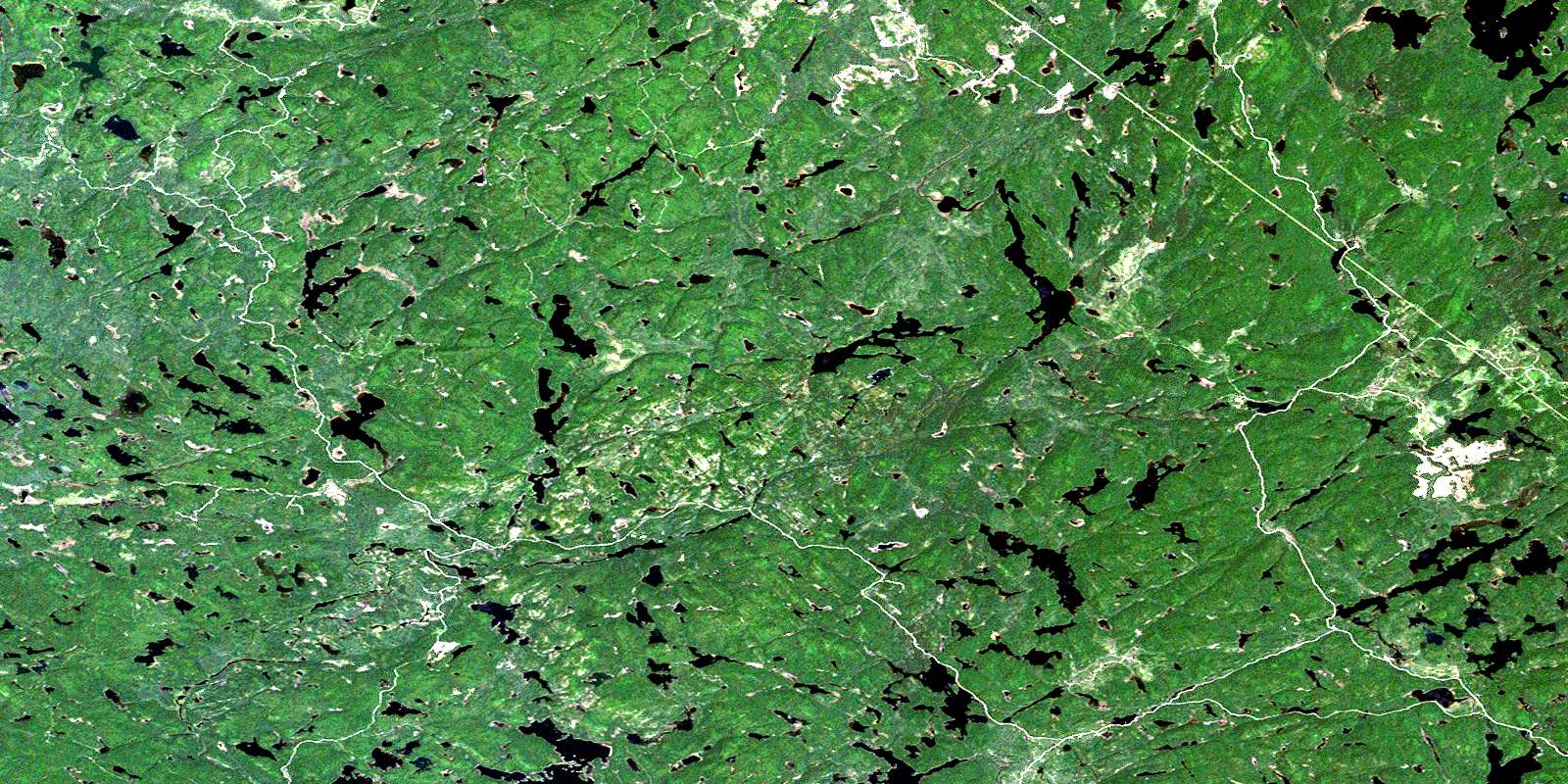
Welcome Lake Satellite Imagery
To view this satellite map, mouse over the air photo on the right.
You can also download this satellite image map for free:
041O04 Welcome Lake high-resolution satellite image map.
Maps for the Welcome Lake aerial map sheet 041O04 at 1:50,000 scale are also available in these versions:
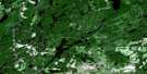
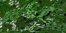
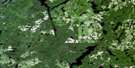
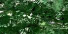
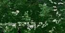
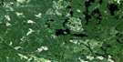
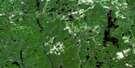
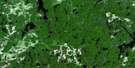
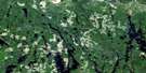
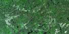
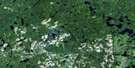
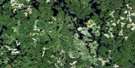
Welcome Lake Surrounding Area Aerial Photo Maps
 |
 |
 |
 |
 |
 |
 |
 |
 |
 |
 |
 |
 |
 |
 |
 |
© Department of Natural Resources Canada. All rights reserved.
Welcome Lake Gazetteer
The following places can be found on satellite image map 041O04 Welcome Lake:
Welcome Lake Satellite Image: Geographical areas
22,1222,13
22,14
22,15
23,12
23,13
23,14
23,15
24,12
24,13
24,14
24,15
5G
5H
6G
6H
7G
7H
8G
8H
Bracci
Butcher
Carton
Dablon
Desbiens
Ewen
Gapp
Gaudry
Handleman
Hoffman
Lunkie
McIlveen
Nahwegezhic
Pine
Running
Schembri
Scriven
Sherratt
Sudbury
Way-White
Wlasy
Welcome Lake Satellite Image: Lakes
Affleck LakeAlice Lake
Annibal Lake
Anvil Lake
Armour Lake
Boyle Lake
Browne Lake
Butter Tin Lake
Camel Lake
Chubb Lake
Coppens Lake
Cowie Lake
Dead Lake
Dismal Lake
Dixon Lake
Dude Lake
Dunkerley Lake
Dyson Lake
Eileen Lake
Ella Lake
Emerson Lake
Fifty Dollar Lake
Forester Lake
Fork Lake
Friendly Lake
Fyfe Lake
Galloway Lake
Gong Lake
Goulais Lake
Graham Lake
Gravel Lake
Gull Lake
Gut Lake
Halcrow Lake
Hanes Lake
Hodgson Lake
Horne Lake
Hound Lake
Irene Lake
Island Lake
Jet Lake
Lac Cherie
Lawer Lake
Limerick Lake
Little Horne Lake
Little Quinn Lake
Lodestone Lake
Loggers Lake
Mart Lake
Megisan Lake
Mirror Lake
Morrison Lake
Mystery Lake
Neundorf Lake
North Chubb Lake
North Emerson Lake
Otter Lake
Patter Lake
Patterson Lake
Point Lake
Private Lake
Quinn Lake
Ragged Lake
Red Pine Lake
Reedy Lake
Roar Lake
Saw Lake
Saymo Lake
Shadow Lake
Simms Lake
Snyder Lake
South Anvil Lake
South Branch Lake
South Teal Lake
Spook Lake
Tepee Lake
Torrance Lake
Tujak Lake
Vacher Lake
Watson Lake
Welcome Lake
Witchdoctor Lake
Welcome Lake Satellite Image: Conservation areas
Algoma Headwaters Provincial ParkAubinadong-Nushatogaini Rivers Provincial Park
Ranger North Conservation Reserve
Welcome Lake Satellite Image: Rivers
Anvil CreekBrowne Creek
Cherie Creek
Chippewa River
Chubb Creek
Cowie Creek
Dead Creek
Dixon Creek
East Goulais River
Emerson Creek
Garden River
Gong Creek
Goulais River
Hanes Creek
Hodgson Creek
Little Quinn River
Morrison Creek
Patter Creek
Patterson Creek
Quinn River
South Branch Creek
Vacher Creek
Watson Creek
West Aubinadong River
© Department of Natural Resources Canada. All rights reserved.
041O Related Maps:
041O Chapleau041O01 Indian Lake
041O02 White Owl Lake
041O03 Mountain Ash Lake
041O04 Welcome Lake
041O05 Bulley Lake
041O06 Wenebegon Lake
041O07 Wakami Lake
041O08 Biscotasing
041O09 Opeepeesway Lake
041O10 Sultan
041O11 Nemegos
041O12 Graveyard Lake
041O13 Nicholson
041O14 Chapleau
041O15 Rollo Lake
041O16 Rush Lake
