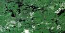
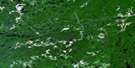
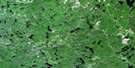
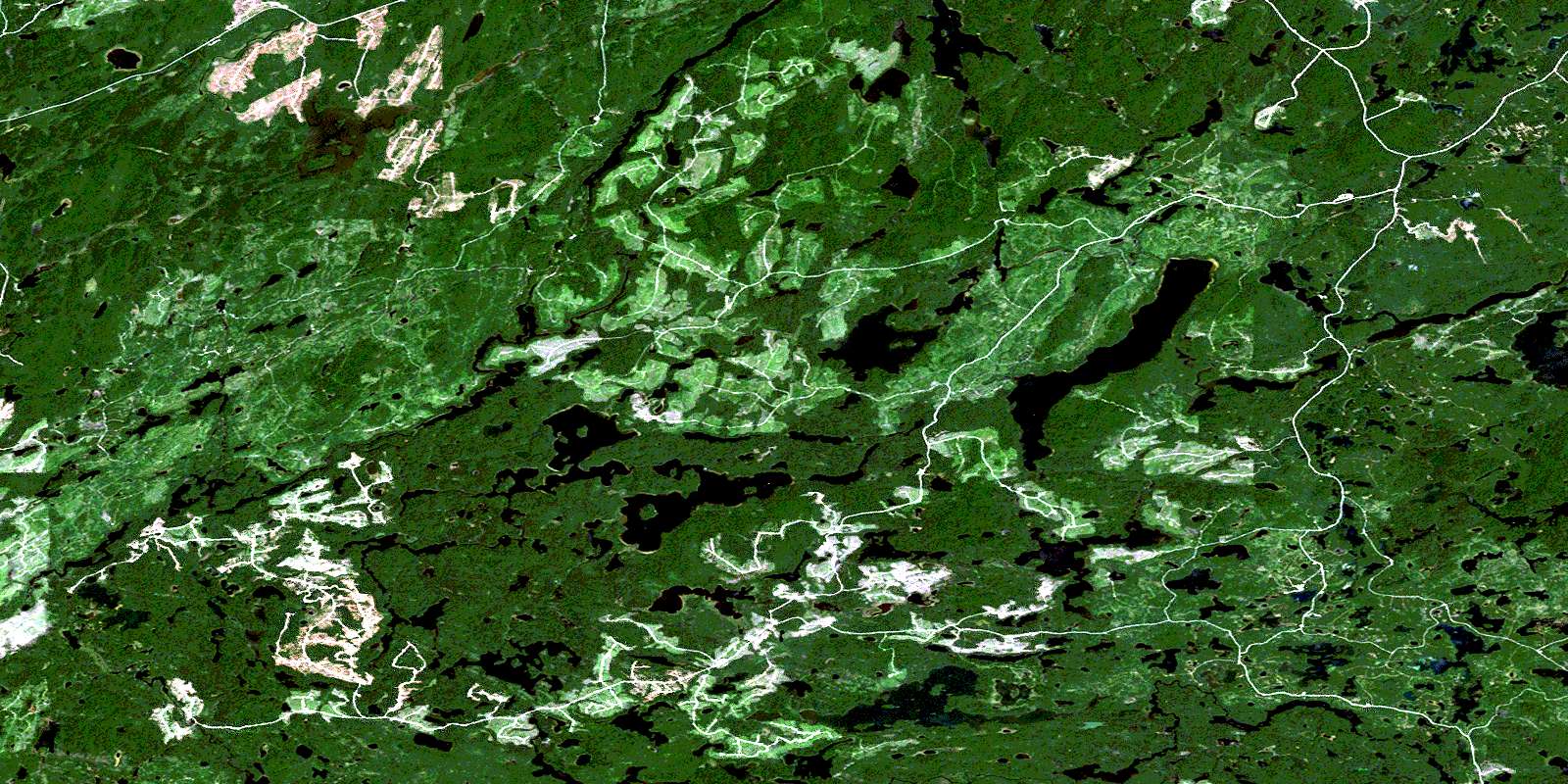
Rollo Lake Satellite Image Map
Download Free Aerial Photo 041O15 at 1:50,000 scale
Rollo Lake Satellite Imagery
To view this satellite map, mouse over the air photo on the right.
You can also download this satellite image map for free:
041O15 Rollo Lake high-resolution satellite image map.
Maps for the Rollo Lake aerial map sheet 041O15 at 1:50,000 scale are also available in these versions:
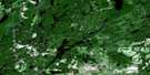
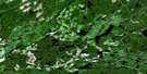
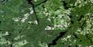
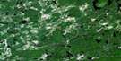
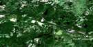
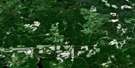
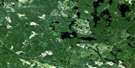
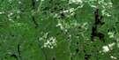
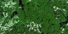
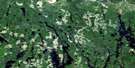
Rollo Lake Surrounding Area Aerial Photo Maps
 |
 |
 |
 |
 |
 |
 |
 |
 |
 |
 |
 |
 |
 |
 |
 |
© Department of Natural Resources Canada. All rights reserved.
Rollo Lake Gazetteer
The following places can be found on satellite image map 041O15 Rollo Lake:
Rollo Lake Satellite Image: Geographical areas
BiggsChewett
Coppell
Crockett
Cunningham
Denyes
Dore
Gamey
Garnet
Greenlaw
Halcrow
Hellyer
Lackner
Mountbatten
Raney
Rollo
Sandy
Swayze
Tooms
Whigham
Rollo Lake Satellite Image: Indian Reserves
Mountbatten Indian Reserve 76ARéserve indienne Mountbatten 76A
Rollo Lake Satellite Image: Lakes
Ackerman LakeAllen Lake
Bain Lake
Barty Lake
Bayly Lake
Bent Lake
Biggs Lake
Brett Lake
Carmen Lake
Coppell Lake
Cree Lake
Crossley Lake
Denyes Lake
Dyment Lake
Elvy Lake
Engineer Lake
Freymond Lake
Gertrude Lake
Graceful Lake
Gravelridge Lake
Halcrow Lake
Hanson Lake
Hellyer Lake
Hewson Lake
Ivanhoe Lake
Jean Lake
Jog Lake
Kenty Lake
Lee Lake
Lesage Lake
Little Biggs Lake
Little Ridley Lake
Longcome Lake
Marta Lake
Mills Lake
Oscar Lake
Paul Lake
Pell Lake
Pepperbell Lake
Raney Lake
Ransom Lake
Ridley Lake
Rollo Lake
Sandy Lake
Saucer Lake
Sawbill Lake
Saxton Lake
Shunsby Lake
Squash Lake
Swayze Lake
Sylvanite Lake
Thedan Lake
Topboot Lake
Vice Lake
Whigham Lake
Yarwood Lake
Yohannson Lake
Rollo Lake Satellite Image: Rivers
Bain CreekBiggs Creek
Coppell Creek
Cree Creek
Denyes Creek
Dyment Creek
Engineer Creek
Halcrow Creek
Hellyer Creek
Ivanhoe River
Kenty Creek
Kinogama River
Lesage Creek
Marl Creek
Muskego River
Ridley Creek
Shawmere River
Swayze River
Sylvanite Creek
Thedan Creek
Wakami River
Westmeath Creek
© Department of Natural Resources Canada. All rights reserved.
041O Related Maps:
041O Chapleau041O01 Indian Lake
041O02 White Owl Lake
041O03 Mountain Ash Lake
041O04 Welcome Lake
041O05 Bulley Lake
041O06 Wenebegon Lake
041O07 Wakami Lake
041O08 Biscotasing
041O09 Opeepeesway Lake
041O10 Sultan
041O11 Nemegos
041O12 Graveyard Lake
041O13 Nicholson
041O14 Chapleau
041O15 Rollo Lake
041O16 Rush Lake
