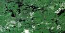
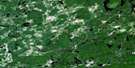
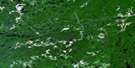
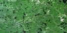
Nicholson Satellite Image Map
Download Free Aerial Photo 041O13 at 1:50,000 scale
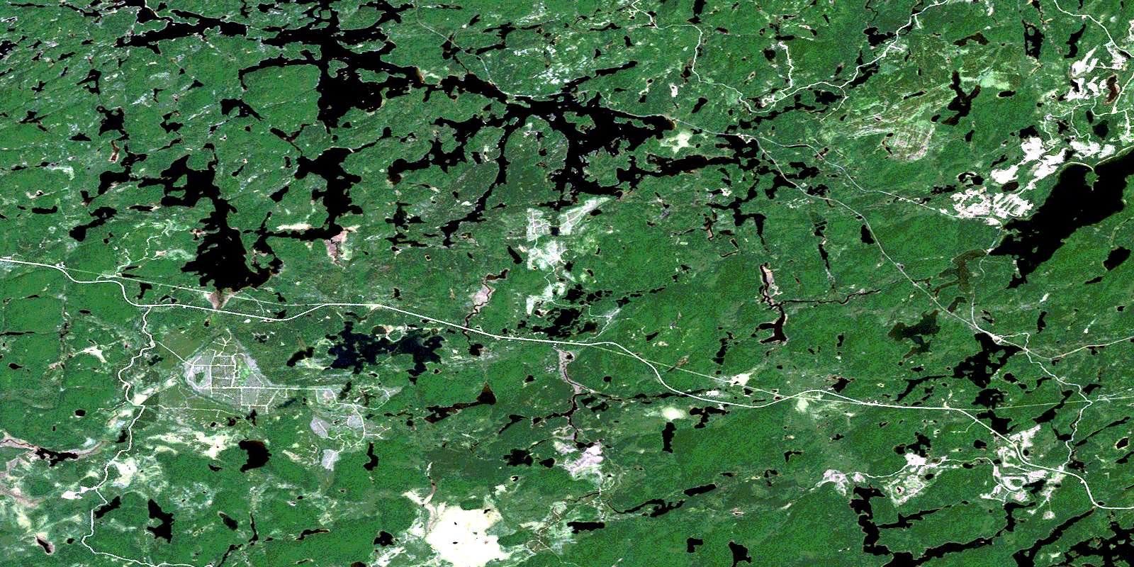
Nicholson Satellite Imagery
To view this satellite map, mouse over the air photo on the right.
You can also download this satellite image map for free:
041O13 Nicholson high-resolution satellite image map.
Maps for the Nicholson aerial map sheet 041O13 at 1:50,000 scale are also available in these versions:
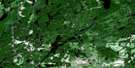
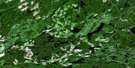
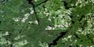
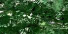
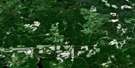
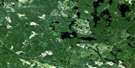
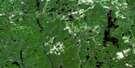
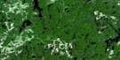
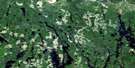
Nicholson Surrounding Area Aerial Photo Maps
 |
 |
 |
 |
 |
 |
 |
 |
 |
 |
 |
 |
 |
 |
 |
 |
© Department of Natural Resources Canada. All rights reserved.
Nicholson Gazetteer
The following places can be found on satellite image map 041O13 Nicholson:
Nicholson Satellite Image: Bays
Bird Bath BayBland Bay
Fagus Bay
Grazing Inlet
Healey Bay
Nicholson Bay
Phone Line Bay
Wayland Bay
Nicholson Satellite Image: Channels
Dividing NarrowsNicholson Satellite Image: Geographical areas
13G23,23
24,21
24,22
32
35
36
37
Bliss
Caouette
Caverley
Cosens
D'Avaugour
Druillettes
Gilliland
Hill
Hoey
Panet
Peters
Recollet
Shawkence
Strathearn
Topham
Triquet
Nicholson Satellite Image: Lakes
Adagio LakeAlba Lake
Amelia Lake
Amos Lake
Andrews Lake
Arva Lake
Austin Lake
Babin Lake
Bacon Lake
Baker Lake
Balfour Lake
Banana Lake
Bevin Lake
Big Pine Lake
Bowstring Lake
Brusaw Lake
Canthook Lake
Ceepee Lake
Chagnon Lake
Chambers Lake
Coe Lake
Colin Lake
Como Lake
Coot Lake
Cosens Lake
Dean Lake
Dixon Lake
Dorman Lake
Dunne Lake
Eyelet Lake
Fergus Lake
Fife Lake
Flicker Lake
Flint Lake
Glabb Lake
Goodwin Lake
Grazing Lake
Greb Lake
Hansen Lake
Hap Lake
Henna Lake
Highbrush Lake
Hoey Lake
Horseshoe Lake
Huff Lake
Hurd Lake
Jaybee Lake
Kathleen Lake
Kennedy Lake
Knife Lake
Knob Lake
Lac Como
Lawson Lake
Leonard Lake
Little Island Lake
Little Pine Lake
Little Spencer Lake
Little Wawa Lake
Loon Cry Lake
Lower Prairie Bee Lake
Mackey Lake
Mal Lake
McNiece Lake
Milton Lake
Morden Lake
Morris Lake
Musk Lake
Nagasin Lake
Nicholson Lake
Oxygen Lake
Papoose Lake
Pardee Lake
Peavey Lake
Peters Lake
Picard Lake
Pigs Eye Lake
Pillow Lake
Ponoka Lake
Prairie Bee Lake
Prim Lake
Ralph Lake
Rousseau Lake
Sauriol Lake
Scully Lake
Sideburned Lake
Sissons Lake
Slim Lake
Sloth Lake
Soretooth Lake
Spencer Lake
Splint Lake
Square Lake
String Lake
Sunset Lake
Therien Lake
Topham Lake
Tribe Lake
Triplet Lake
Triquet Lake
Wangoon Lake
Watson Lake
Wilkison Lake
Windermere Lake
Zag Lake
Nicholson Satellite Image: Conservation areas
The Shoals Provincial ParkWindermere Goldie Lake Complex Conservation Reserve
Nicholson Satellite Image: Rivers
Brusaw CreekChaplin River
Colin Creek
Como Creek
Grazing River
Hayes Creek
Hoey Creek
Kebsquasheshing River
Kennedy Creek
Little Missinaibi River
Little Wawa Creek
Nebskwashi River
Prairie Bee River
Rivière Windermere
Sissons Creek
Wilkison Creek
Windermere River
Nicholson Satellite Image: Unincorporated areas
EsherMusk
Nicholson
Pardee
© Department of Natural Resources Canada. All rights reserved.
041O Related Maps:
041O Chapleau041O01 Indian Lake
041O02 White Owl Lake
041O03 Mountain Ash Lake
041O04 Welcome Lake
041O05 Bulley Lake
041O06 Wenebegon Lake
041O07 Wakami Lake
041O08 Biscotasing
041O09 Opeepeesway Lake
041O10 Sultan
041O11 Nemegos
041O12 Graveyard Lake
041O13 Nicholson
041O14 Chapleau
041O15 Rollo Lake
041O16 Rush Lake
